Property Record
215 N 10Th St, Cabot, AR 72023
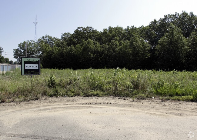

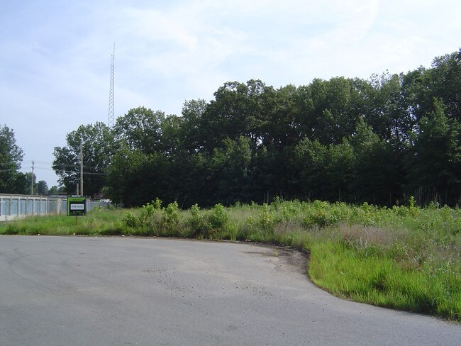
Property Detail
215 N 10Th St
Little Rock-North Little Rock-Conway, AR
PT NE
723-70482-000
Lonoke
Warehouse
Arkansas
B and X Area of moderate flood hazard, usually the area between the limits of the 100-year and 500-year floods.
1
2023
2.07 AC
2025
Lonoke County
020202
Little Rock/N Little Rock
7,500 SF
NEARBY LISTINGS FOR SALE OR LEASE
DEMOGRAPHICS near 215 N 10Th St
1 mile
3 mile
5 mile
2025 Total Population
5,562
25,862
43,068
2030 Population
5,675
26,354
44,026
Pop Growth 2025-2030
+ 2.03%
+ 1.90%
+ 2.22%
Average Age
39
38
38
2025 Total Households
2,244
9,799
16,041
HH Growth 2025-2030
+ 2.09%
+ 1.99%
+ 2.29%
Median Household Inc
$55,170
$75,246
$81,511
Avg Household Size
2.40
2.60
2.60
2025 Avg HH Vehicles
2.00
2.00
2.00
Median Home Value
$166,126
$192,514
$205,844
Median Year Built
1994
1996
1999
Nearby Places
Map Layers
Map Styles
 Street
 Aerial
Transit
 Traffic
 Biking
Places
Listings with unknown addresses are not visible on the map
- Restaurants
- Banks
- Shops
- Fitness
- Groceries
PUBLIC TRANSPORTATION
AIRPORT
Bill and Hillary Clinton Ntl/Adams Field
Drive
Walk
Distance
Bill and Hillary Clinton Ntl/Adams Field
31 min
25.8 mi
Freight Ports
Port of Shreveport
Drive
Walk
Distance
Port of Shreveport
277 min
256.8 mi
Nearby Properties
Address
Land Use
TOTAL SIZE
Lot Size
Zoning
Address
Land Use
TOTAL SIZE
Lot Size
Zoning
44,884 SF
9.65 AC
Address
Land Use
TOTAL SIZE
Lot Size
Zoning
150,958 SF
10.19 AC
Address
Land Use
TOTAL SIZE
Lot Size
Zoning
226,799 SF
21.73 AC
Address
Land Use
TOTAL SIZE
Lot Size
Zoning
199,090 SF
9.82 AC
Address
Land Use
TOTAL SIZE
Lot Size
Zoning
143,892 SF
8.65 AC
Address
Land Use
TOTAL SIZE
Lot Size
Zoning
23,603 SF
0.70 AC
Address
Land Use
TOTAL SIZE
Lot Size
Zoning
134,045 SF
12.15 AC
Address
Land Use
TOTAL SIZE
Lot Size
Zoning
141,490 SF
9.97 AC
Address
Land Use
TOTAL SIZE
Lot Size
Zoning
25,956 SF
3.22 AC
Address
Land Use
TOTAL SIZE
Lot Size
Zoning
62,250 SF
8.59 AC
Address
Land Use
TOTAL SIZE
Lot Size
Zoning
13,302 SF
0.71 AC
Address
Land Use
TOTAL SIZE
Lot Size
Zoning
50,550 SF
8.98 AC
Address
Land Use
TOTAL SIZE
Lot Size
Zoning
60,322 SF
10 AC
Address
Land Use
TOTAL SIZE
Lot Size
Zoning
104,795 SF
12.07 AC
Address
Land Use
TOTAL SIZE
Lot Size
Zoning
139,126 SF
10 AC
Address
Land Use
TOTAL SIZE
Lot Size
Zoning
51,992 SF
2.82 AC
Address
Land Use
TOTAL SIZE
Lot Size
Zoning
42,336 SF
6.80 AC
Address
Land Use
TOTAL SIZE
Lot Size
Zoning
45,172 SF
4.35 AC
Address
Land Use
TOTAL SIZE
Lot Size
Zoning
67,672 SF
5.23 AC
Address
Land Use
TOTAL SIZE
Lot Size
Zoning
10,408 SF
6.25 AC
Address
Land Use
TOTAL SIZE
Lot Size
Zoning
91,224 SF
8.39 AC
Address
Land Use
TOTAL SIZE
Lot Size
Zoning
32,438 SF
7.40 AC
Address
Land Use
TOTAL SIZE
Lot Size
Zoning
15,600 SF
3 AC
Address
Land Use
TOTAL SIZE
Lot Size
Zoning
9,750 SF
1.62 AC
Address
Land Use
TOTAL SIZE
Lot Size
Zoning
41,864 SF
5.22 AC
Address
Land Use
TOTAL SIZE
Lot Size
Zoning
16,426 SF
3.21 AC
Address
Land Use
TOTAL SIZE
Lot Size
Zoning
28,943 SF
3.39 AC
Address
Land Use
TOTAL SIZE
Lot Size
Zoning
18,550 SF
11.37 AC
Address
Land Use
TOTAL SIZE
Lot Size
Zoning
83,775 SF
2.04 AC
Address
Land Use
TOTAL SIZE
Lot Size
Zoning
29,416 SF
3.15 AC
The World's #1 Commercial Real Estate Marketplace
Connect with us
© 2026 CoStar Group
The information above has been obtained from sources believed reliable. While we do not doubt its accuracy we have not verified it and make no guarantee, warranty or representation about it. It is your responsibility to independently confirm its accuracy and completeness. Any projections, opinions, assumptions, or estimates used are for example only and do not represent the current or future performance of the property. The value of this transaction to you depends on tax and other factors which should be evaluated by your tax, financial, and legal advisors. You and your advisors should conduct a careful, independent investigation of the property to determine to your satisfaction the suitability of the property for your needs.