Property Record
215 N Curry Rd, Coolidge, AZ 85128
Save to a Folder
{{folder.Name}}
{{folder.ListingIds.length}} Properties
{{folder.ListingIds.length}} Property
Create a New Folder
Property Detail
215 N Curry Rd
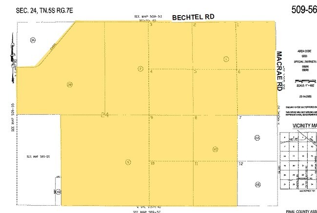
509-56-003B
LOTS 3 & 4 & W1/2 NE OF SEC 24-5S-7E 160.00 AC
Farms
PINAL
UNDESIGNAT
Arizona
B and X Area of moderate flood hazard, usually the area between the limits of the 100-year and 500-year floods.
3,4
2024
129.06 AC
2025
Pinal County
001100
Phoenix
8,000 SF
Phoenix-Mesa-Chandler, AZ
NEARBY LISTINGS FOR SALE OR LEASE
DEMOGRAPHICS near 215 N Curry Rd
1 mile
3 mile
5 mile
2025 Total Population
29
7,085
20,839
2030 Population
35
8,618
24,740
Pop Growth 2025-2030
+ 20.69%
+ 21.64%
+ 18.72%
Average Age
36
35
37
2025 Total Households
9
2,104
6,810
HH Growth 2025-2030
+ 22.22%
+ 21.44%
+ 18.41%
Median Household Inc
$87,500
$90,391
$62,778
Avg Household Size
2.60
3.30
3.00
2025 Avg HH Vehicles
3.00
2.00
2.00
Median Home Value
$399,999
$346,077
$275,346
Median Year Built
2006
2008
2001
Nearby Places
Map Layers
Map Styles
 Street
 Aerial
Layers
 Traffic
 Biking
Places
Listings with unknown addresses are not visible on the map
- Restaurants
- Banks
- Shops
- Fitness
- Groceries
PUBLIC TRANSPORTATION
AIRPORT
Phoenix-Mesa Gateway
Drive
Walk
Distance
Phoenix-Mesa Gateway
58 min
34.3 mi
Freight Ports
Port of San Diego
Drive
Walk
Distance
Port of San Diego
399 min
364.9 mi
Nearby Properties
Address
Land Use
TOTAL SIZE
Lot Size
Zoning
Address
Land Use
TOTAL SIZE
Lot Size
Zoning
108,984 SF
9.26 AC
UNDESIGNAT
Address
Land Use
TOTAL SIZE
Lot Size
Zoning
15.02 AC
Address
Land Use
TOTAL SIZE
Lot Size
Zoning
1,481 SF
560 AC
GR
Address
Land Use
TOTAL SIZE
Lot Size
Zoning
34,072 SF
2.70 AC
Address
Land Use
TOTAL SIZE
Lot Size
Zoning
160.33 AC
UNDESIGNAT
Address
Land Use
TOTAL SIZE
Lot Size
Zoning
461.69 AC
Address
Land Use
TOTAL SIZE
Lot Size
Zoning
27,172 SF
161.44 AC
GR
Address
Land Use
TOTAL SIZE
Lot Size
Zoning
24,635 SF
159.75 AC
Address
Land Use
TOTAL SIZE
Lot Size
Zoning
26,502 SF
101.09 AC
GR
Address
Land Use
TOTAL SIZE
Lot Size
Zoning
6,081 SF
160 AC
Address
Land Use
TOTAL SIZE
Lot Size
Zoning
2,852 SF
452.43 AC
UNDESIGNAT
Address
Land Use
TOTAL SIZE
Lot Size
Zoning
8,172 SF
4.27 AC
Address
Land Use
TOTAL SIZE
Lot Size
Zoning
39.94 AC
Address
Land Use
TOTAL SIZE
Lot Size
Zoning
8,901 SF
4.40 AC
Address
Land Use
TOTAL SIZE
Lot Size
Zoning
3,211 SF
320 AC
UNDESIGNAT
Address
Land Use
TOTAL SIZE
Lot Size
Zoning
405 AC
GR
Address
Land Use
TOTAL SIZE
Lot Size
Zoning
62.83 AC
Address
Land Use
TOTAL SIZE
Lot Size
Zoning
Address
Land Use
TOTAL SIZE
Lot Size
Zoning
33.96 AC
UNDESIGNAT
Address
Land Use
TOTAL SIZE
Lot Size
Zoning
33.85 AC
UNDESIGNAT
The World's #1 Commercial Real Estate Marketplace
Connect with us
© 2026 CoStar Group
The information above has been obtained from sources believed reliable. While we do not doubt its accuracy we have not verified it and make no guarantee, warranty or representation about it. It is your responsibility to independently confirm its accuracy and completeness. Any projections, opinions, assumptions, or estimates used are for example only and do not represent the current or future performance of the property. The value of this transaction to you depends on tax and other factors which should be evaluated by your tax, financial, and legal advisors. You and your advisors should conduct a careful, independent investigation of the property to determine to your satisfaction the suitability of the property for your needs.