Property Record
2161 Startown Rd, Denver, NC 28037
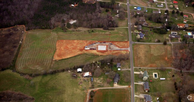

Property Detail
2161 Startown Rd
Charlotte-Concord-Gastonia, NC-SC
#1 LT CAROLYN S WATERS
93143
LINCOLN
Policefirecivildefense
North Carolina
R-SF
1
2025
5.81 AC
2025
Lincoln County
0708004012
Charlotte
5,400 SF
NEARBY LISTINGS FOR SALE OR LEASE
DEMOGRAPHICS near 2161 Startown Rd
1 mile
3 mile
5 mile
2025 Total Population
1,101
10,507
33,235
2030 Population
1,209
11,509
36,374
Pop Growth 2025-2030
+ 9.81%
+ 9.54%
+ 9.44%
Average Age
41
41
42
2025 Total Households
432
4,213
13,380
HH Growth 2025-2030
+ 9.95%
+ 9.59%
+ 9.52%
Median Household Inc
$80,280
$61,521
$58,840
Avg Household Size
2.50
2.40
2.40
2025 Avg HH Vehicles
2.00
2.00
2.00
Median Home Value
$309,649
$284,510
$275,900
Median Year Built
1986
1985
1986
Nearby Places
Map Layers
Map Styles
 Street
 Aerial
Layers
 Traffic
 Biking
Places
Listings with unknown addresses are not visible on the map
- Restaurants
- Banks
- Shops
- Fitness
- Groceries
PUBLIC TRANSPORTATION
AIRPORT
Charlotte/Douglas International
Drive
Walk
Distance
Charlotte/Douglas International
58 min
35.3 mi
Concord-Padgett Regional
Drive
Walk
Distance
Concord-Padgett Regional
66 min
45.0 mi
Nearby Properties
Address
Land Use
TOTAL SIZE
Lot Size
Zoning
Address
Land Use
TOTAL SIZE
Lot Size
Zoning
6,144 SF
13.26 AC
P-B & RMF
Address
Land Use
TOTAL SIZE
Lot Size
Zoning
279,874 SF
30.15 AC
I-G
Address
Land Use
TOTAL SIZE
Lot Size
Zoning
118,694 SF
25.90 AC
R-10
Address
Land Use
TOTAL SIZE
Lot Size
Zoning
45,354 SF
50.76 AC
R-10
Address
Land Use
TOTAL SIZE
Lot Size
Zoning
130,730 SF
54.59 AC
R-15
Address
Land Use
TOTAL SIZE
Lot Size
Zoning
53,152 SF
3.97 AC
G-B CD
Address
Land Use
TOTAL SIZE
Lot Size
Zoning
272,580 SF
22.64 AC
I-G
Address
Land Use
TOTAL SIZE
Lot Size
Zoning
189,220 SF
23.64 AC
P-B CU
Address
Land Use
TOTAL SIZE
Lot Size
Zoning
174,720 SF
24.81 AC
I-G
Address
Land Use
TOTAL SIZE
Lot Size
Zoning
10,120 SF
23.38 AC
G-B & P-B
Address
Land Use
TOTAL SIZE
Lot Size
Zoning
42,405 SF
34.47 AC
GMC
Address
Land Use
TOTAL SIZE
Lot Size
Zoning
148,421 SF
14.44 AC
I-G
Address
Land Use
TOTAL SIZE
Lot Size
Zoning
2,047 SF
46.35 AC
RMF
Address
Land Use
TOTAL SIZE
Lot Size
Zoning
105,148 SF
12.53 AC
I-G
Address
Land Use
TOTAL SIZE
Lot Size
Zoning
8,770 SF
11.21 AC
P-B
Address
Land Use
TOTAL SIZE
Lot Size
Zoning
119,354 SF
20.15 AC
I-G
Address
Land Use
TOTAL SIZE
Lot Size
Zoning
120,810 SF
16.90 AC
G-B CU
Address
Land Use
TOTAL SIZE
Lot Size
Zoning
40,203 SF
3.37 AC
P-B
Address
Land Use
TOTAL SIZE
Lot Size
Zoning
8,228 SF
10.82 AC
R-T
Address
Land Use
TOTAL SIZE
Lot Size
Zoning
63,404 SF
26 AC
GMC
Address
Land Use
TOTAL SIZE
Lot Size
Zoning
90,009 SF
9.59 AC
I-G
Address
Land Use
TOTAL SIZE
Lot Size
Zoning
36,100 SF
3.38 AC
R-8
Address
Land Use
TOTAL SIZE
Lot Size
Zoning
96,888 SF
14.66 AC
G-B & P-B
Address
Land Use
TOTAL SIZE
Lot Size
Zoning
132,221 SF
7.16 AC
P-B
Address
Land Use
TOTAL SIZE
Lot Size
Zoning
76,742 SF
7.12 AC
I-G
Address
Land Use
TOTAL SIZE
Lot Size
Zoning
10,115 SF
1.70 AC
C-B
Address
Land Use
TOTAL SIZE
Lot Size
Zoning
26,011 SF
28.67 AC
RMF
Address
Land Use
TOTAL SIZE
Lot Size
Zoning
14,866 SF
14.24 AC
P-B
Address
Land Use
TOTAL SIZE
Lot Size
Zoning
6,732 SF
4.02 AC
RMF CU
Address
Land Use
TOTAL SIZE
Lot Size
Zoning
14,466 SF
1.73 AC
G-B
The World's #1 Commercial Real Estate Marketplace
Connect with us
© 2026 CoStar Group
The information above has been obtained from sources believed reliable. While we do not doubt its accuracy we have not verified it and make no guarantee, warranty or representation about it. It is your responsibility to independently confirm its accuracy and completeness. Any projections, opinions, assumptions, or estimates used are for example only and do not represent the current or future performance of the property. The value of this transaction to you depends on tax and other factors which should be evaluated by your tax, financial, and legal advisors. You and your advisors should conduct a careful, independent investigation of the property to determine to your satisfaction the suitability of the property for your needs.