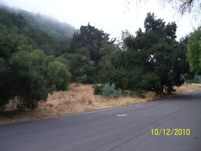
Property Record
2183 San Luis Dr, San Luis Obispo, CA 93401

NEARBY LISTINGS FOR SALE OR LEASE
Property Detail
2183 San Luis Dr
San Luis Obispo-Paso Robles-Arroyo Grande, CA
Tract 1259
001-082-008
CY SLO TR 1259 LT 8
Residentialacreage
San Luis Obispo
X
California
06079C1067G
8
2024
0.24 AC
2025
Outlying SLO County
011002
San Luis Obispo/Paso Robles
DEMOGRAPHICS near 2183 San Luis Dr
1 Mile
3 Mile
5 Mile
2024 Total Population
8,655
47,873
60,717
2029 Population
8,626
48,148
61,032
Pop Growth 2024-2029
(0.34%)
+ 0.57%
+ 0.52%
Average Age
29
34
35
2024 Total Households
2,505
16,844
21,705
HH Growth 2024-2029
(0.48%)
+ 0.68%
+ 0.47%
Median Household Inc
$53,000
$63,287
$68,727
Avg Household Size
2.20
2.20
2.30
2024 Avg HH Vehicles
2.00
2.00
2.00
Median Home Value
$917,867
$828,997
$800,751
Median Year Built
1970
1976
1978
Nearby Places
Map Layers
Map Styles
 Street
 Aerial
- Restaurants
- Banks
- Shops
- Fitness
- Groceries
PUBLIC TRANSPORTATION
COMMUTER RAIL
San Luis Obispo (Coast Starlight - Amtrak, Pacific Surfliner - Amtrak)
DRIVE
WALK
Distance
San Luis Obispo (Coast Starlight - Amtrak, Pacific Surfliner - Amtrak)
5 min
1.5 mi
AIRPORT
San Luis County Regional
DRIVE
WALK
Distance
San Luis County Regional
15 min
5.9 mi
Freight Ports
The Port of Hueneme
DRIVE
WALK
Distance
The Port of Hueneme
174 min
134.4 mi
Nearby Properties
Address
Land Use
TOTAL SIZE
Lot Size
Zoning
Address
Land Use
TOTAL SIZE
Lot Size
Zoning
99,866 SF
14.05 AC
O
Address
Land Use
TOTAL SIZE
Lot Size
Zoning
92,330 SF
3.69 AC
R4
Address
Land Use
TOTAL SIZE
Lot Size
Zoning
156,079 SF
8.79 AC
O
Address
Land Use
TOTAL SIZE
Lot Size
Zoning
191,653 SF
6.70 AC
CR
Address
Land Use
TOTAL SIZE
Lot Size
Zoning
69,146 SF
0.93 AC
CR
Address
Land Use
TOTAL SIZE
Lot Size
Zoning
110,984 SF
1.19 AC
CD
Address
Land Use
TOTAL SIZE
Lot Size
Zoning
134,591 SF
1.36 AC
CC
Address
Land Use
TOTAL SIZE
Lot Size
Zoning
136,725 SF
7.51 AC
Address
Land Use
TOTAL SIZE
Lot Size
Zoning
3.65 AC
CN
Address
Land Use
TOTAL SIZE
Lot Size
Zoning
172,407 SF
6.80 AC
R4
Address
Land Use
TOTAL SIZE
Lot Size
Zoning
100,759 SF
21.52 AC
CR
Address
Land Use
TOTAL SIZE
Lot Size
Zoning
61,720 SF
0.83 AC
CD
Address
Land Use
TOTAL SIZE
Lot Size
Zoning
54,577 SF
0.95 AC
CC
Address
Land Use
TOTAL SIZE
Lot Size
Zoning
91,389 SF
4.65 AC
R4
Address
Land Use
TOTAL SIZE
Lot Size
Zoning
201,280 SF
8.66 AC
M
Address
Land Use
TOTAL SIZE
Lot Size
Zoning
118,881 SF
1.90 AC
CT
Address
Land Use
TOTAL SIZE
Lot Size
Zoning
15,193 SF
4.53 AC
R4
Address
Land Use
TOTAL SIZE
Lot Size
Zoning
140,528 SF
4.35 AC
R4
Address
Land Use
TOTAL SIZE
Lot Size
Zoning
85,863 SF
7.70 AC
R3
Address
Land Use
TOTAL SIZE
Lot Size
Zoning
66,022 SF
3.26 AC
R4
Address
Land Use
TOTAL SIZE
Lot Size
Zoning
1.48 AC
CD
Address
Land Use
TOTAL SIZE
Lot Size
Zoning
59,358 SF
2 AC
M
Address
Land Use
TOTAL SIZE
Lot Size
Zoning
37,842 SF
1.36 AC
CS
Address
Land Use
TOTAL SIZE
Lot Size
Zoning
35,342 SF
0.47 AC
CC
Address
Land Use
TOTAL SIZE
Lot Size
Zoning
67,560 SF
10.07 AC
CC
Address
Land Use
TOTAL SIZE
Lot Size
Zoning
40,046 SF
1.92 AC
CT
Address
Land Use
TOTAL SIZE
Lot Size
Zoning
51,447 SF
1.62 AC
CS
Address
Land Use
TOTAL SIZE
Lot Size
Zoning
39,802 SF
5.04 AC
BP
Address
Land Use
TOTAL SIZE
Lot Size
Zoning
4.93 AC
R3
Address
Land Use
TOTAL SIZE
Lot Size
Zoning
65,224 SF
3.39 AC
CT
The World's #1 Commercial Real Estate Marketplace
Connect with us
© 2025 CoStar Group
The information above has been obtained from sources believed reliable. While we do not doubt its accuracy we have not verified it and make no guarantee, warranty or representation about it. It is your responsibility to independently confirm its accuracy and completeness. Any projections, opinions, assumptions, or estimates used are for example only and do not represent the current or future performance of the property. The value of this transaction to you depends on tax and other factors which should be evaluated by your tax, financial, and legal advisors. You and your advisors should conduct a careful, independent investigation of the property to determine to your satisfaction the suitability of the property for your needs.