Property Record
219 E Garlington Rd, Greenville, SC 29615


NEARBY LISTINGS FOR SALE OR LEASE
Property Detail
219 E Garlington Rd
0533.02-01-006.05
TR. A
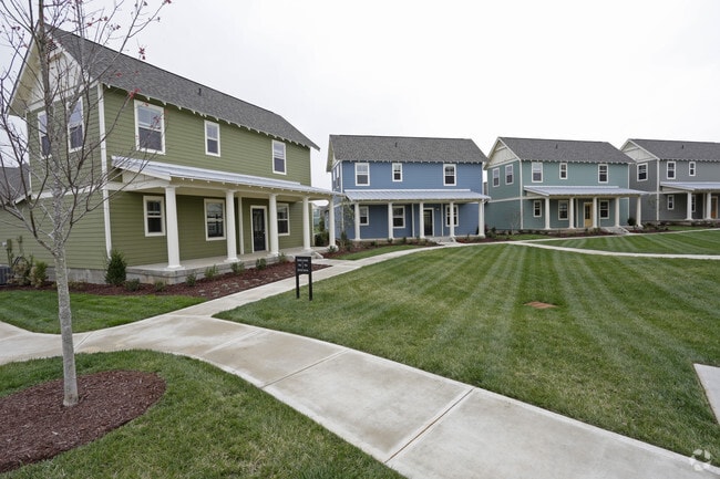
Apartment
Greenville
X
South Carolina
45045C0407E
006.05
2025
36.89 AC
2024
Outer Greenville/Mauldin
002804
Greenville/Spartanburg
1,710 SF
Greenville-Anderson-Mauldin, SC
DEMOGRAPHICS near 219 E Garlington Rd
1 Mile
3 Mile
5 Mile
2024 Total Population
3,086
48,049
138,654
2029 Population
3,444
52,793
152,750
Pop Growth 2024-2029
+ 11.60%
+ 9.87%
+ 10.17%
Average Age
49
42
40
2024 Total Households
1,351
19,151
56,051
HH Growth 2024-2029
+ 11.92%
+ 10.00%
+ 10.28%
Median Household Inc
$93,989
$97,979
$88,934
Avg Household Size
2.20
2.50
2.40
2024 Avg HH Vehicles
2.00
2.00
2.00
Median Home Value
$313,839
$345,586
$292,792
Median Year Built
1998
1995
1995
Nearby Places
Map Layers
Map Styles
 Street
 Aerial
- Restaurants
- Banks
- Shops
- Fitness
- Groceries
PUBLIC TRANSPORTATION
AIRPORT
Greenville Spartanburg International
DRIVE
WALK
Distance
Greenville Spartanburg International
12 min
5.6 mi
Freight Ports
North Charleston Terminal
DRIVE
WALK
Distance
North Charleston Terminal
228 min
200.7 mi
Nearby Properties
Address
Land Use
TOTAL SIZE
Lot Size
Zoning
Address
Land Use
TOTAL SIZE
Lot Size
Zoning
18.50 AC
RS
Address
Land Use
TOTAL SIZE
Lot Size
Zoning
16 AC
S1
Address
Land Use
TOTAL SIZE
Lot Size
Zoning
22.50 AC
S1
Address
Land Use
TOTAL SIZE
Lot Size
Zoning
2,355 SF
10.21 AC
RS
Address
Land Use
TOTAL SIZE
Lot Size
Zoning
223.09 AC
I1
Address
Land Use
TOTAL SIZE
Lot Size
Zoning
20.40 AC
RS
Address
Land Use
TOTAL SIZE
Lot Size
Zoning
7.53 AC
S1
Address
Land Use
TOTAL SIZE
Lot Size
Zoning
38.86 AC
C2
Address
Land Use
TOTAL SIZE
Lot Size
Zoning
181.61 AC
C-2,I1
Address
Land Use
TOTAL SIZE
Lot Size
Zoning
17.53 AC
I1
Address
Land Use
TOTAL SIZE
Lot Size
Zoning
5.19 AC
PD
Address
Land Use
TOTAL SIZE
Lot Size
Zoning
6.97 AC
R12
Address
Land Use
TOTAL SIZE
Lot Size
Zoning
1,202 SF
14.38 AC
RS
Address
Land Use
TOTAL SIZE
Lot Size
Zoning
5.47 AC
C3
Address
Land Use
TOTAL SIZE
Lot Size
Zoning
91.80 AC
PD
Address
Land Use
TOTAL SIZE
Lot Size
Zoning
26.90 AC
C3
Address
Land Use
TOTAL SIZE
Lot Size
Zoning
4.80 AC
I1
Address
Land Use
TOTAL SIZE
Lot Size
Zoning
136.04 AC
I1
Address
Land Use
TOTAL SIZE
Lot Size
Zoning
21.48 AC
C3
Address
Land Use
TOTAL SIZE
Lot Size
Zoning
5.80 AC
RS
Address
Land Use
TOTAL SIZE
Lot Size
Zoning
23.20 AC
PD
Address
Land Use
TOTAL SIZE
Lot Size
Zoning
5.39 AC
S1
Address
Land Use
TOTAL SIZE
Lot Size
Zoning
43.58 AC
RS
Address
Land Use
TOTAL SIZE
Lot Size
Zoning
9.90 AC
I1
Address
Land Use
TOTAL SIZE
Lot Size
Zoning
15.26 AC
Address
Land Use
TOTAL SIZE
Lot Size
Zoning
2.73 AC
C3
Address
Land Use
TOTAL SIZE
Lot Size
Zoning
22.48 AC
I1
Address
Land Use
TOTAL SIZE
Lot Size
Zoning
4,128 SF
25.54 AC
RS
Address
Land Use
TOTAL SIZE
Lot Size
Zoning
9.27 AC
I1
Address
Land Use
TOTAL SIZE
Lot Size
Zoning
2.80 AC
I1
The World's #1 Commercial Real Estate Marketplace
Connect with us
© 2025 CoStar Group
The information above has been obtained from sources believed reliable. While we do not doubt its accuracy we have not verified it and make no guarantee, warranty or representation about it. It is your responsibility to independently confirm its accuracy and completeness. Any projections, opinions, assumptions, or estimates used are for example only and do not represent the current or future performance of the property. The value of this transaction to you depends on tax and other factors which should be evaluated by your tax, financial, and legal advisors. You and your advisors should conduct a careful, independent investigation of the property to determine to your satisfaction the suitability of the property for your needs.