Property Record
219 Whitins Rd, Sutton, MA 01590


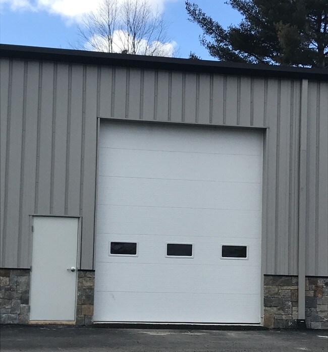
Property Detail
219 Whitins Rd
Commercialbuilding
Worcester
OLI
Massachusetts
B and X Area of moderate flood hazard, usually the area between the limits of the 100-year and 500-year floods.
1.90 AC
2025
Outlying Worcester
2025
Boston
751101
Worcester, MA
16,875 SF
SUTT-000051-000000-000034
NEARBY LISTINGS FOR SALE OR LEASE
DEMOGRAPHICS near 219 Whitins Rd
1 mile
3 mile
5 mile
2025 Total Population
846
14,389
41,971
2030 Population
871
14,753
43,113
Pop Growth 2025-2030
+ 2.96%
+ 2.53%
+ 2.72%
Average Age
43
42
43
2025 Total Households
310
5,472
16,182
HH Growth 2025-2030
+ 2.90%
+ 2.61%
+ 2.81%
Median Household Inc
$156,633
$119,682
$127,111
Avg Household Size
2.70
2.60
2.60
2025 Avg HH Vehicles
2.00
2.00
2.00
Median Home Value
$556,818
$483,151
$479,583
Median Year Built
1976
1973
1978
Nearby Places
Map Layers
Map Styles
 Street
 Aerial
Layers
 Traffic
 Biking
Places
Listings with unknown addresses are not visible on the map
- Restaurants
- Banks
- Shops
- Fitness
- Groceries
PUBLIC TRANSPORTATION
AIRPORT
Worcester Regional
Drive
Walk
Distance
Worcester Regional
28 min
18.5 mi
Rhode Island Tf Green International
Drive
Walk
Distance
Rhode Island Tf Green International
46 min
34.4 mi
Freight Ports
Port of Davisville, RI
Drive
Walk
Distance
Port of Davisville, RI
60 min
46.3 mi
SALE & LEASE HISTORY
LISTING DATE
SALE/LEASE

Oct 29, 2018
For Lease
Jun 19, 2019
For Lease
Jul 10, 2024
For Lease
Jan 11, 2019
For Lease
Feb 18, 2020
For Lease
Nearby Properties
Address
Land Use
TOTAL SIZE
Lot Size
Zoning
Address
Land Use
TOTAL SIZE
Lot Size
Zoning
607,486 SF
69.67 AC
AG
Address
Land Use
TOTAL SIZE
Lot Size
Zoning
161,541 SF
30.04 AC
Address
Land Use
TOTAL SIZE
Lot Size
Zoning
134,096 SF
61.68 AC
C
Address
Land Use
TOTAL SIZE
Lot Size
Zoning
6,743 SF
7.12 AC
IND
Address
Land Use
TOTAL SIZE
Lot Size
Zoning
216,167 SF
26.06 AC
C
Address
Land Use
TOTAL SIZE
Lot Size
Zoning
173,667 SF
2.44 AC
Address
Land Use
TOTAL SIZE
Lot Size
Zoning
246,552 SF
24.55 AC
Address
Land Use
TOTAL SIZE
Lot Size
Zoning
607,486 SF
31.09 AC
OLI
Address
Land Use
TOTAL SIZE
Lot Size
Zoning
178,775 SF
36.78 AC
Address
Land Use
TOTAL SIZE
Lot Size
Zoning
312,077 SF
13.66 AC
C
Address
Land Use
TOTAL SIZE
Lot Size
Zoning
116,864 SF
16.87 AC
OLI
Address
Land Use
TOTAL SIZE
Lot Size
Zoning
37,781 SF
29.16 AC
Address
Land Use
TOTAL SIZE
Lot Size
Zoning
32,156 SF
3.59 AC
VR
Address
Land Use
TOTAL SIZE
Lot Size
Zoning
55,671 SF
3.53 AC
Address
Land Use
TOTAL SIZE
Lot Size
Zoning
67,716 SF
42.39 AC
Address
Land Use
TOTAL SIZE
Lot Size
Zoning
90,000 SF
9.40 AC
OLI
Address
Land Use
TOTAL SIZE
Lot Size
Zoning
134,072 SF
8.27 AC
VB
Address
Land Use
TOTAL SIZE
Lot Size
Zoning
19,913 SF
0.78 AC
Address
Land Use
TOTAL SIZE
Lot Size
Zoning
607,486 SF
3.84 AC
IND
Address
Land Use
TOTAL SIZE
Lot Size
Zoning
100,882 SF
25.60 AC
Address
Land Use
TOTAL SIZE
Lot Size
Zoning
52,848 SF
7.02 AC
OLI
Address
Land Use
TOTAL SIZE
Lot Size
Zoning
27,918 SF
53.83 AC
OLI
Address
Land Use
TOTAL SIZE
Lot Size
Zoning
185,400 SF
16.35 AC
OLI
Address
Land Use
TOTAL SIZE
Lot Size
Zoning
6.17 AC
Address
Land Use
TOTAL SIZE
Lot Size
Zoning
2.72 AC
Address
Land Use
TOTAL SIZE
Lot Size
Zoning
29,851 SF
7.27 AC
OLI
Address
Land Use
TOTAL SIZE
Lot Size
Zoning
57,554 SF
2.19 AC
Address
Land Use
TOTAL SIZE
Lot Size
Zoning
28,875 SF
0.61 AC
Address
Land Use
TOTAL SIZE
Lot Size
Zoning
44,668 SF
3.84 AC
Address
Land Use
TOTAL SIZE
Lot Size
Zoning
1,950 SF
506 AC
R1
The World's #1 Commercial Real Estate Marketplace
Connect with us
© 2026 CoStar Group
The information above has been obtained from sources believed reliable. While we do not doubt its accuracy we have not verified it and make no guarantee, warranty or representation about it. It is your responsibility to independently confirm its accuracy and completeness. Any projections, opinions, assumptions, or estimates used are for example only and do not represent the current or future performance of the property. The value of this transaction to you depends on tax and other factors which should be evaluated by your tax, financial, and legal advisors. You and your advisors should conduct a careful, independent investigation of the property to determine to your satisfaction the suitability of the property for your needs.