Property Record
21980 Dersch Rd, Anderson, CA 96007


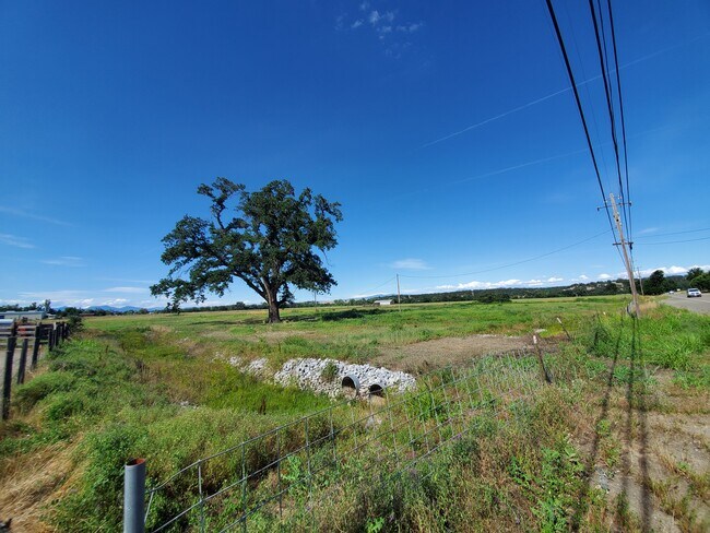
Property Detail
21980 Dersch Rd
Miscellaneous
SHASTA
MU
California
B and X Area of moderate flood hazard, usually the area between the limits of the 100-year and 500-year floods.
5 AC
2024
Redding/Chico
2025
Other Market Areas
011900
Redding, CA
720 SF
057-460-005-000
NEARBY LISTINGS FOR SALE OR LEASE
-
-
View all Anderson listings for sale on LoopNet.com
DEMOGRAPHICS near 21980 Dersch Rd
1 mile
3 mile
5 mile
2025 Total Population
230
4,837
21,283
2030 Population
218
4,724
21,093
Pop Growth 2025-2030
(5.22%)
(2.34%)
(0.89%)
Average Age
45
44
42
2025 Total Households
85
1,970
8,420
HH Growth 2025-2030
(5.88%)
(2.34%)
(0.93%)
Median Household Inc
$135,416
$70,678
$67,229
Avg Household Size
2.70
2.40
2.50
2025 Avg HH Vehicles
3.00
2.00
2.00
Median Home Value
$673,913
$354,243
$308,366
Median Year Built
1975
1977
1978
Nearby Places
Map Layers
Map Styles
 Street
 Aerial
Layers
 Traffic
 Biking
Places
Listings with unknown addresses are not visible on the map
- Restaurants
- Banks
- Shops
- Fitness
- Groceries
PUBLIC TRANSPORTATION
AIRPORT
Redding Regional
Drive
Walk
Distance
Redding Regional
9 min
5.3 mi
Freight Ports
Port of Richmond
Drive
Walk
Distance
Port of Richmond
224 min
197.5 mi
SALE & LEASE HISTORY
LISTING DATE
SALE/LEASE

Jun 25, 2020
For Sale
Nearby Properties
Address
Land Use
TOTAL SIZE
Lot Size
Zoning
Address
Land Use
TOTAL SIZE
Lot Size
Zoning
972 SF
6.12 AC
Address
Land Use
TOTAL SIZE
Lot Size
Zoning
2,268 SF
7.43 AC
M-L
Address
Land Use
TOTAL SIZE
Lot Size
Zoning
2.29 AC
Address
Land Use
TOTAL SIZE
Lot Size
Zoning
1,027 SF
2.55 AC
M-L
Address
Land Use
TOTAL SIZE
Lot Size
Zoning
13.90 AC
Address
Land Use
TOTAL SIZE
Lot Size
Zoning
2.81 AC
MU
Address
Land Use
TOTAL SIZE
Lot Size
Zoning
2.15 AC
Address
Land Use
TOTAL SIZE
Lot Size
Zoning
5,616 SF
2.10 AC
Address
Land Use
TOTAL SIZE
Lot Size
Zoning
778 SF
3.20 AC
MU
Address
Land Use
TOTAL SIZE
Lot Size
Zoning
7,681 SF
280.58 AC
EA-AP
Address
Land Use
TOTAL SIZE
Lot Size
Zoning
Address
Land Use
TOTAL SIZE
Lot Size
Zoning
6.90 AC
R-R
Address
Land Use
TOTAL SIZE
Lot Size
Zoning
83.51 AC
A-1-BA-20
Address
Land Use
TOTAL SIZE
Lot Size
Zoning
2,247 SF
5 AC
MU
Address
Land Use
TOTAL SIZE
Lot Size
Zoning
4,002 SF
29.87 AC
Address
Land Use
TOTAL SIZE
Lot Size
Zoning
2,865 SF
1.28 AC
R-R
Address
Land Use
TOTAL SIZE
Lot Size
Zoning
3,591 SF
0.35 AC
Address
Land Use
TOTAL SIZE
Lot Size
Zoning
2,037 SF
78.09 AC
R-L-BA-40
Address
Land Use
TOTAL SIZE
Lot Size
Zoning
2,819 SF
33 AC
R-L-BA-10
Address
Land Use
TOTAL SIZE
Lot Size
Zoning
162.44 AC
PD
Address
Land Use
TOTAL SIZE
Lot Size
Zoning
3,624 SF
0.35 AC
Address
Land Use
TOTAL SIZE
Lot Size
Zoning
5,400 SF
6.50 AC
Address
Land Use
TOTAL SIZE
Lot Size
Zoning
1,324 SF
911.60 AC
EA-AP
Address
Land Use
TOTAL SIZE
Lot Size
Zoning
11,878 SF
2.13 AC
Address
Land Use
TOTAL SIZE
Lot Size
Zoning
1,767 SF
0.68 AC
HP-40
Address
Land Use
TOTAL SIZE
Lot Size
Zoning
2,800 SF
8.25 AC
PD
Address
Land Use
TOTAL SIZE
Lot Size
Zoning
4.80 AC
F-1
Address
Land Use
TOTAL SIZE
Lot Size
Zoning
6,100 SF
1 AC
M-L
Address
Land Use
TOTAL SIZE
Lot Size
Zoning
11,856 SF
6.16 AC
R-R-T-BSM
The World's #1 Commercial Real Estate Marketplace
Connect with us
© 2026 CoStar Group
The information above has been obtained from sources believed reliable. While we do not doubt its accuracy we have not verified it and make no guarantee, warranty or representation about it. It is your responsibility to independently confirm its accuracy and completeness. Any projections, opinions, assumptions, or estimates used are for example only and do not represent the current or future performance of the property. The value of this transaction to you depends on tax and other factors which should be evaluated by your tax, financial, and legal advisors. You and your advisors should conduct a careful, independent investigation of the property to determine to your satisfaction the suitability of the property for your needs.