Property Record
220 22Nd St, Pittsburgh, PA 15222


Property Detail
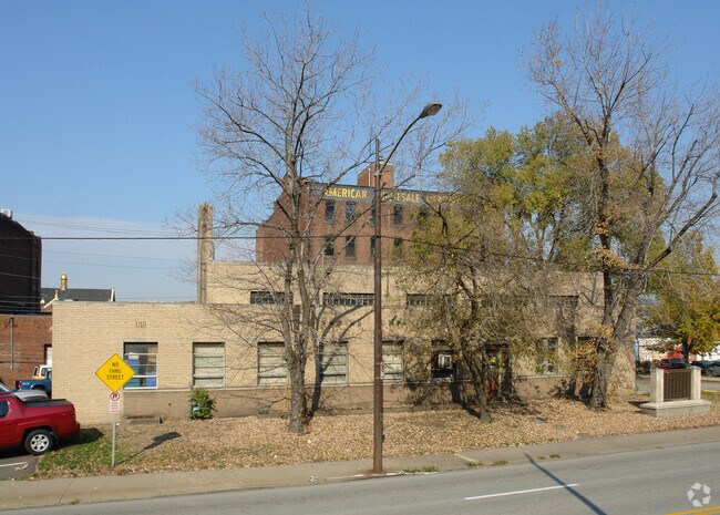
220 22Nd St
Pittsburgh, PA
LOT 168X100 LIBERTY AV FROM 21ST TO 22ND STS 1 STY & PARTIAL BSMT BRK FIRE STATION
0010-A-00055-0000-00
Allegheny
Municipalproperty
Pennsylvania
B and X Area of moderate flood hazard, usually the area between the limits of the 100-year and 500-year floods.
55
0
0.39 AC
2026
Greater Downtown
020300
Pittsburgh
NEARBY LISTINGS FOR SALE OR LEASE
DEMOGRAPHICS near 220 22Nd St
1 mile
3 mile
5 mile
2025 Total Population
18,202
176,200
380,952
2030 Population
18,678
177,240
379,125
Pop Growth 2025-2030
+ 2.62%
+ 0.59%
(0.48%)
Average Age
39
37
39
2025 Total Households
9,985
81,994
176,075
HH Growth 2025-2030
+ 2.73%
+ 0.42%
(0.59%)
Median Household Inc
$54,715
$60,142
$66,049
Avg Household Size
1.70
1.90
2.00
2025 Avg HH Vehicles
1.00
1.00
1.00
Median Home Value
$198,233
$245,009
$216,738
Median Year Built
1967
1949
1949
Nearby Places
Map Layers
Map Styles
 Street
 Aerial
Layers
 Traffic
 Biking
Places
Listings with unknown addresses are not visible on the map
- Restaurants
- Banks
- Shops
- Fitness
- Groceries
PUBLIC TRANSPORTATION
TRANSIT/SUBWAY
Steel Plaza (42C Castle Shannon - Port Authority of Allegheny County Light Rail (The "T"), 42S South Hills Village - Port Authority of Allegheny County Light Rail (The "T"), 47L Library - Port Authority of Allegheny County Light Rail (The "T"), 47S South Hills Village - Port Authority of Allegheny County Light Rail (The "T"), 52 Allentown - Port Authority of Allegheny County Light Rail (The "T"))
Drive
Walk
Distance
Steel Plaza (42C Castle Shannon - Port Authority of Allegheny County Light Rail (The "T"), 42S South Hills Village - Port Authority of Allegheny County Light Rail (The "T"), 47L Library - Port Authority of Allegheny County Light Rail (The "T"), 47S South Hills Village - Port Authority of Allegheny County Light Rail (The "T"), 52 Allentown - Port Authority of Allegheny County Light Rail (The "T"))
4 min
20 min
1.1 mi
COMMUTER RAIL
Pittsburgh Amtrak Station (Capitol Limited - Amtrak, Pennsylvanian - Amtrak)
Drive
Walk
Distance
Pittsburgh Amtrak Station (Capitol Limited - Amtrak, Pennsylvanian - Amtrak)
2 min
14 min
0.8 mi
AIRPORT
Pittsburgh International
Drive
Walk
Distance
Pittsburgh International
30 min
18.4 mi
Freight Ports
Port of Baltimore
Drive
Walk
Distance
Port of Baltimore
295 min
249.4 mi
Nearby Properties
Address
Land Use
TOTAL SIZE
Lot Size
Zoning
Address
Land Use
TOTAL SIZE
Lot Size
Zoning
10.41 AC
Address
Land Use
TOTAL SIZE
Lot Size
Zoning
Address
Land Use
TOTAL SIZE
Lot Size
Zoning
14.70 AC
Address
Land Use
TOTAL SIZE
Lot Size
Zoning
6.99 AC
Address
Land Use
TOTAL SIZE
Lot Size
Zoning
Address
Land Use
TOTAL SIZE
Lot Size
Zoning
3.86 AC
Address
Land Use
TOTAL SIZE
Lot Size
Zoning
13.75 AC
Address
Land Use
TOTAL SIZE
Lot Size
Zoning
10.14 AC
Address
Land Use
TOTAL SIZE
Lot Size
Zoning
31.36 AC
Address
Land Use
TOTAL SIZE
Lot Size
Zoning
13.53 AC
Address
Land Use
TOTAL SIZE
Lot Size
Zoning
3.35 AC
Address
Land Use
TOTAL SIZE
Lot Size
Zoning
5.11 AC
Address
Land Use
TOTAL SIZE
Lot Size
Zoning
10.55 AC
Address
Land Use
TOTAL SIZE
Lot Size
Zoning
2.68 AC
Address
Land Use
TOTAL SIZE
Lot Size
Zoning
13.85 AC
Address
Land Use
TOTAL SIZE
Lot Size
Zoning
19.39 AC
Address
Land Use
TOTAL SIZE
Lot Size
Zoning
10.22 AC
Address
Land Use
TOTAL SIZE
Lot Size
Zoning
5.77 AC
Address
Land Use
TOTAL SIZE
Lot Size
Zoning
4.05 AC
Address
Land Use
TOTAL SIZE
Lot Size
Zoning
3.91 AC
Address
Land Use
TOTAL SIZE
Lot Size
Zoning
12.80 AC
Address
Land Use
TOTAL SIZE
Lot Size
Zoning
0.92 AC
Address
Land Use
TOTAL SIZE
Lot Size
Zoning
3.78 AC
Address
Land Use
TOTAL SIZE
Lot Size
Zoning
2.46 AC
Address
Land Use
TOTAL SIZE
Lot Size
Zoning
8.97 AC
Address
Land Use
TOTAL SIZE
Lot Size
Zoning
2.67 AC
Address
Land Use
TOTAL SIZE
Lot Size
Zoning
2.52 AC
Address
Land Use
TOTAL SIZE
Lot Size
Zoning
Address
Land Use
TOTAL SIZE
Lot Size
Zoning
1.20 AC
Address
Land Use
TOTAL SIZE
Lot Size
Zoning
2.31 AC
The World's #1 Commercial Real Estate Marketplace
Connect with us
© 2026 CoStar Group
The information above has been obtained from sources believed reliable. While we do not doubt its accuracy we have not verified it and make no guarantee, warranty or representation about it. It is your responsibility to independently confirm its accuracy and completeness. Any projections, opinions, assumptions, or estimates used are for example only and do not represent the current or future performance of the property. The value of this transaction to you depends on tax and other factors which should be evaluated by your tax, financial, and legal advisors. You and your advisors should conduct a careful, independent investigation of the property to determine to your satisfaction the suitability of the property for your needs.