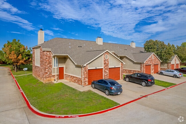
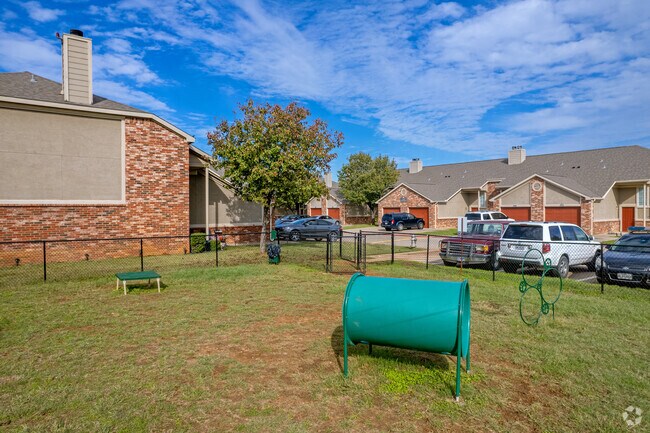
Property Record
2201 Sycamore School Rd, Fort Worth, TX 76134

Save to a Folder
{{folder.Name}}
{{folder.ListingIds.length}} Properties
{{folder.ListingIds.length}} Property
Create a New Folder
Property Detail
2201 Sycamore School Rd
Dallas-Fort Worth-Arlington, TX
SYCAMORE POINTE ADDITION BLOCK 1 LOT A
07917953
Tarrant
Multifamilydwelling
Texas
AE The base floodplain where base flood elevations are provided. AE Zones are now used on new format FIRMs instead of A1-A30 Zones.
a
0
21.62 AC
2025
Wedgwood
111020
Dallas/Ft Worth
262,434 SF
NEARBY LISTINGS FOR SALE OR LEASE
-
-
View all Fort Worth listings for sale on LoopNet.com
DEMOGRAPHICS near 2201 Sycamore School Rd
1 mile
3 mile
5 mile
2025 Total Population
23,137
111,388
273,670
2030 Population
24,250
116,973
289,521
Pop Growth 2025-2030
+ 4.81%
+ 5.01%
+ 5.79%
Average Age
35
37
36
2025 Total Households
7,549
36,981
92,193
HH Growth 2025-2030
+ 4.78%
+ 5.06%
+ 5.98%
Median Household Inc
$66,177
$76,466
$74,624
Avg Household Size
3.00
2.90
2.80
2025 Avg HH Vehicles
2.00
2.00
2.00
Median Home Value
$241,947
$265,753
$279,885
Median Year Built
1988
1985
1986
Nearby Places
Map Layers
Map Styles
 Street
 Aerial
Layers
 Traffic
 Biking
Places
Listings with unknown addresses are not visible on the map
- Restaurants
- Banks
- Shops
- Fitness
- Groceries
PUBLIC TRANSPORTATION
AIRPORT
Dallas-Fort Worth International
Drive
Walk
Distance
Dallas-Fort Worth International
45 min
34.3 mi
Freight Ports
Port of Shreveport
Drive
Walk
Distance
Port of Shreveport
249 min
231.0 mi
Nearby Properties
Address
Land Use
TOTAL SIZE
Lot Size
Zoning
Address
Land Use
TOTAL SIZE
Lot Size
Zoning
1,623,188 SF
84.13 AC
Address
Land Use
TOTAL SIZE
Lot Size
Zoning
987,261 SF
63.16 AC
Address
Land Use
TOTAL SIZE
Lot Size
Zoning
781,200 SF
37.80 AC
Address
Land Use
TOTAL SIZE
Lot Size
Zoning
1,126,017 SF
76.27 AC
Address
Land Use
TOTAL SIZE
Lot Size
Zoning
655,500 SF
38.98 AC
Address
Land Use
TOTAL SIZE
Lot Size
Zoning
660,000 SF
33.91 AC
Address
Land Use
TOTAL SIZE
Lot Size
Zoning
647,228 SF
31.47 AC
Address
Land Use
TOTAL SIZE
Lot Size
Zoning
615,250 SF
32.43 AC
Address
Land Use
TOTAL SIZE
Lot Size
Zoning
344,170 SF
21.92 AC
Address
Land Use
TOTAL SIZE
Lot Size
Zoning
319,017 SF
14.68 AC
Address
Land Use
TOTAL SIZE
Lot Size
Zoning
655,500 SF
35.45 AC
Address
Land Use
TOTAL SIZE
Lot Size
Zoning
193,098 SF
25 AC
Address
Land Use
TOTAL SIZE
Lot Size
Zoning
426,348 SF
128.78 AC
Address
Land Use
TOTAL SIZE
Lot Size
Zoning
489,679 SF
27.08 AC
Address
Land Use
TOTAL SIZE
Lot Size
Zoning
147,466 SF
19.19 AC
Address
Land Use
TOTAL SIZE
Lot Size
Zoning
619,649 SF
53.64 AC
Address
Land Use
TOTAL SIZE
Lot Size
Zoning
585,000 SF
28.75 AC
Address
Land Use
TOTAL SIZE
Lot Size
Zoning
456,500 SF
29.55 AC
Address
Land Use
TOTAL SIZE
Lot Size
Zoning
865,460 SF
41.14 AC
Address
Land Use
TOTAL SIZE
Lot Size
Zoning
230,452 SF
63.63 AC
Address
Land Use
TOTAL SIZE
Lot Size
Zoning
182,258 SF
9.33 AC
Address
Land Use
TOTAL SIZE
Lot Size
Zoning
765,351 SF
40.31 AC
Address
Land Use
TOTAL SIZE
Lot Size
Zoning
374,874 SF
23.59 AC
Address
Land Use
TOTAL SIZE
Lot Size
Zoning
186,352 SF
11.01 AC
Address
Land Use
TOTAL SIZE
Lot Size
Zoning
204,292 SF
10.38 AC
Address
Land Use
TOTAL SIZE
Lot Size
Zoning
113,900 SF
10.26 AC
Address
Land Use
TOTAL SIZE
Lot Size
Zoning
543,757 SF
34.46 AC
Address
Land Use
TOTAL SIZE
Lot Size
Zoning
309,612 SF
31.55 AC
Address
Land Use
TOTAL SIZE
Lot Size
Zoning
287,040 SF
17.51 AC
Address
Land Use
TOTAL SIZE
Lot Size
Zoning
385,000 SF
26.81 AC
The World's #1 Commercial Real Estate Marketplace
Connect with us
© 2026 CoStar Group
The information above has been obtained from sources believed reliable. While we do not doubt its accuracy we have not verified it and make no guarantee, warranty or representation about it. It is your responsibility to independently confirm its accuracy and completeness. Any projections, opinions, assumptions, or estimates used are for example only and do not represent the current or future performance of the property. The value of this transaction to you depends on tax and other factors which should be evaluated by your tax, financial, and legal advisors. You and your advisors should conduct a careful, independent investigation of the property to determine to your satisfaction the suitability of the property for your needs.