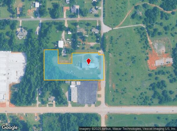
Property Record
221 N County Line Rd, Mustang, OK 73064


NEARBY LISTINGS FOR SALE OR LEASE
Property Detail
221 N County Line Rd
090005326
T11N R05W S25 SE4 A#34 PT SE4 BEG SE/C OF N2 SE4 SE4 SE4 TH W658.61 N330.57 E156.77 S150 E150 N115 E297 S20 E55 S275.08 TPB.
Warehouse
Canadian
A
Oklahoma
40027C0025J
4.17 AC
2023
Canadian County
2024
Oklahoma City
301406
Oklahoma City, OK
7,617 SF
DEMOGRAPHICS near 221 N County Line Rd
1 Mile
3 Mile
5 Mile
2024 Total Population
3,263
23,771
59,484
2029 Population
3,740
27,348
70,690
Pop Growth 2024-2029
+ 14.62%
+ 15.05%
+ 18.84%
Average Age
38
38
37
2024 Total Households
1,180
7,998
21,056
HH Growth 2024-2029
+ 15.17%
+ 15.98%
+ 19.29%
Median Household Inc
$89,172
$88,427
$85,073
Avg Household Size
2.80
2.80
2.70
2024 Avg HH Vehicles
2.00
2.00
2.00
Median Home Value
$185,797
$218,750
$208,535
Median Year Built
1987
2003
2002
Nearby Places
Map Layers
Map Styles
 Street
 Aerial
- Restaurants
- Banks
- Shops
- Fitness
- Groceries
PUBLIC TRANSPORTATION
AIRPORT
Will Rogers World
DRIVE
WALK
Distance
Will Rogers World
16 min
8.2 mi
Freight Ports
Tulsa Port Of Catoosa
DRIVE
WALK
Distance
Tulsa Port Of Catoosa
151 min
137.0 mi
Nearby Properties
Address
Land Use
TOTAL SIZE
Lot Size
Zoning
Address
Land Use
TOTAL SIZE
Lot Size
Zoning
2,141,947 SF
98.48 AC
I-2
Address
Land Use
TOTAL SIZE
Lot Size
Zoning
653,359 SF
142.11 AC
I-2
Address
Land Use
TOTAL SIZE
Lot Size
Zoning
33,313 SF
9.24 AC
Address
Land Use
TOTAL SIZE
Lot Size
Zoning
647,520 SF
28.23 AC
PUD
Address
Land Use
TOTAL SIZE
Lot Size
Zoning
17,582 SF
4.34 AC
Address
Land Use
TOTAL SIZE
Lot Size
Zoning
784,972 SF
68.99 AC
I-2
Address
Land Use
TOTAL SIZE
Lot Size
Zoning
2,019 SF
2.42 AC
Address
Land Use
TOTAL SIZE
Lot Size
Zoning
98,427 SF
9.93 AC
Address
Land Use
TOTAL SIZE
Lot Size
Zoning
720,640 SF
52.69 AC
PUD
Address
Land Use
TOTAL SIZE
Lot Size
Zoning
16,100 SF
4.20 AC
Address
Land Use
TOTAL SIZE
Lot Size
Zoning
10,871 SF
3.68 AC
Address
Land Use
TOTAL SIZE
Lot Size
Zoning
143,450 SF
21.45 AC
Address
Land Use
TOTAL SIZE
Lot Size
Zoning
305,154 SF
33.30 AC
I-2
Address
Land Use
TOTAL SIZE
Lot Size
Zoning
538,787 SF
34.39 AC
I-2
Address
Land Use
TOTAL SIZE
Lot Size
Zoning
215,392 SF
63.71 AC
I-2
Address
Land Use
TOTAL SIZE
Lot Size
Zoning
9.28 AC
I-2
Address
Land Use
TOTAL SIZE
Lot Size
Zoning
9,928 SF
2.25 AC
Address
Land Use
TOTAL SIZE
Lot Size
Zoning
504 SF
16.38 AC
Address
Land Use
TOTAL SIZE
Lot Size
Zoning
9,960 SF
1.61 AC
Address
Land Use
TOTAL SIZE
Lot Size
Zoning
1,088 SF
13.89 AC
Address
Land Use
TOTAL SIZE
Lot Size
Zoning
257,100 SF
33.19 AC
I-2
Address
Land Use
TOTAL SIZE
Lot Size
Zoning
223,600 SF
25.57 AC
I-2
Address
Land Use
TOTAL SIZE
Lot Size
Zoning
7,560 SF
2.64 AC
Address
Land Use
TOTAL SIZE
Lot Size
Zoning
76,630 SF
7.58 AC
Address
Land Use
TOTAL SIZE
Lot Size
Zoning
9,800 SF
4.37 AC
Address
Land Use
TOTAL SIZE
Lot Size
Zoning
422,608 SF
24.97 AC
I-3
Address
Land Use
TOTAL SIZE
Lot Size
Zoning
1.69 AC
Address
Land Use
TOTAL SIZE
Lot Size
Zoning
122,056 SF
13.70 AC
I-2
Address
Land Use
TOTAL SIZE
Lot Size
Zoning
321,840 SF
17.71 AC
I-1
Address
Land Use
TOTAL SIZE
Lot Size
Zoning
8,400 SF
17.37 AC
The World's #1 Commercial Real Estate Marketplace
Connect with us
© 2025 CoStar Group
The information above has been obtained from sources believed reliable. While we do not doubt its accuracy we have not verified it and make no guarantee, warranty or representation about it. It is your responsibility to independently confirm its accuracy and completeness. Any projections, opinions, assumptions, or estimates used are for example only and do not represent the current or future performance of the property. The value of this transaction to you depends on tax and other factors which should be evaluated by your tax, financial, and legal advisors. You and your advisors should conduct a careful, independent investigation of the property to determine to your satisfaction the suitability of the property for your needs.