Property Record
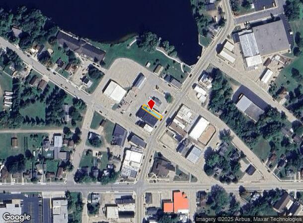
221 N Main St, Waupaca, WI 54981

NEARBY LISTINGS FOR SALE OR LEASE
-
-
View all Waupaca listings for sale on LoopNet.com
Property Detail
221 N Main St
Other Market Areas
City/Marion
32-02-72-52
N20FT LT3 & PRT LT5 BLK8 ORIG PLAT EX #845664 V200P590 V308P516 V489P83,84&730 V602P783
Commercialnec
Waupaca
X
Wisconsin
55115C0495C
3,5
2023
0.08 AC
2024
Wisconsin North Area
101000
DEMOGRAPHICS near 221 N Main St
1 Mile
3 Mile
5 Mile
2024 Total Population
2,221
2,431
3,693
2029 Population
2,187
2,395
3,670
Pop Growth 2024-2029
(1.53%)
(1.48%)
(0.62%)
Average Age
43
43
43
2024 Total Households
941
1,024
1,542
HH Growth 2024-2029
(1.70%)
(1.56%)
(0.78%)
Median Household Inc
$60,833
$61,289
$62,282
Avg Household Size
2.40
2.40
2.40
2024 Avg HH Vehicles
2.00
2.00
2.00
Median Home Value
$144,800
$148,345
$165,897
Median Year Built
1971
1971
1971
Nearby Places
Map Layers
Map Styles
 Street
 Aerial
- Restaurants
- Banks
- Shops
- Fitness
- Groceries
Nearby Properties
Address
Land Use
TOTAL SIZE
Lot Size
Zoning
Address
Land Use
TOTAL SIZE
Lot Size
Zoning
55.85 AC
Address
Land Use
TOTAL SIZE
Lot Size
Zoning
27.26 AC
Address
Land Use
TOTAL SIZE
Lot Size
Zoning
12.21 AC
Address
Land Use
TOTAL SIZE
Lot Size
Zoning
1.44 AC
Address
Land Use
TOTAL SIZE
Lot Size
Zoning
4.90 AC
Address
Land Use
TOTAL SIZE
Lot Size
Zoning
11.16 AC
Address
Land Use
TOTAL SIZE
Lot Size
Zoning
4,960 SF
40 AC
A-G
Address
Land Use
TOTAL SIZE
Lot Size
Zoning
2.19 AC
Address
Land Use
TOTAL SIZE
Lot Size
Zoning
0.92 AC
Address
Land Use
TOTAL SIZE
Lot Size
Zoning
4.89 AC
Address
Land Use
TOTAL SIZE
Lot Size
Zoning
12.62 AC
A-G
Address
Land Use
TOTAL SIZE
Lot Size
Zoning
7.43 AC
Address
Land Use
TOTAL SIZE
Lot Size
Zoning
2,700 SF
6.20 AC
A-G
Address
Land Use
TOTAL SIZE
Lot Size
Zoning
3.46 AC
Address
Land Use
TOTAL SIZE
Lot Size
Zoning
Address
Land Use
TOTAL SIZE
Lot Size
Zoning
0.66 AC
Address
Land Use
TOTAL SIZE
Lot Size
Zoning
0.59 AC
Address
Land Use
TOTAL SIZE
Lot Size
Zoning
Address
Land Use
TOTAL SIZE
Lot Size
Zoning
3,020 SF
40 AC
A-G
Address
Land Use
TOTAL SIZE
Lot Size
Zoning
27.68 AC
Address
Land Use
TOTAL SIZE
Lot Size
Zoning
0.56 AC
Address
Land Use
TOTAL SIZE
Lot Size
Zoning
5,512 SF
5 AC
A-G
Address
Land Use
TOTAL SIZE
Lot Size
Zoning
0.39 AC
Address
Land Use
TOTAL SIZE
Lot Size
Zoning
0.39 AC
Address
Land Use
TOTAL SIZE
Lot Size
Zoning
Address
Land Use
TOTAL SIZE
Lot Size
Zoning
52.19 AC
Address
Land Use
TOTAL SIZE
Lot Size
Zoning
4,220 SF
13.28 AC
A-G
Address
Land Use
TOTAL SIZE
Lot Size
Zoning
10 AC
Address
Land Use
TOTAL SIZE
Lot Size
Zoning
0.43 AC
Address
Land Use
TOTAL SIZE
Lot Size
Zoning
14.86 AC
The World's #1 Commercial Real Estate Marketplace
Connect with us
© 2025 CoStar Group
The information above has been obtained from sources believed reliable. While we do not doubt its accuracy we have not verified it and make no guarantee, warranty or representation about it. It is your responsibility to independently confirm its accuracy and completeness. Any projections, opinions, assumptions, or estimates used are for example only and do not represent the current or future performance of the property. The value of this transaction to you depends on tax and other factors which should be evaluated by your tax, financial, and legal advisors. You and your advisors should conduct a careful, independent investigation of the property to determine to your satisfaction the suitability of the property for your needs.