Property Record
222 Ne 4Th Ave, Camas, WA 98607
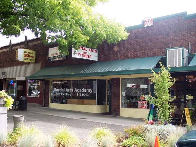


Property Detail
222 Ne 4Th Ave
077930-000
CAMAS LOT 6 BLK 22 FOR ASSESSOR USE ONLY CAMAS LOT 6 BLK 22
Storemultistory
Clark
DC
Washington
B and X Area of moderate flood hazard, usually the area between the limits of the 100-year and 500-year floods.
6
2025
0.12 AC
2025
Camas/Washougal
041500
Portland
6,000 SF
Portland-Vancouver-Hillsboro, OR-WA
NEARBY LISTINGS FOR SALE OR LEASE
DEMOGRAPHICS near 222 Ne 4Th Ave
1 mile
3 mile
5 mile
2025 Total Population
6,102
37,030
113,238
2030 Population
6,305
38,469
115,164
Pop Growth 2025-2030
+ 3.33%
+ 3.89%
+ 1.70%
Average Age
40
40
40
2025 Total Households
2,253
13,047
41,468
HH Growth 2025-2030
+ 3.51%
+ 4.04%
+ 1.70%
Median Household Inc
$100,531
$124,610
$98,510
Avg Household Size
2.60
2.80
2.70
2025 Avg HH Vehicles
2.00
2.00
2.00
Median Home Value
$672,566
$706,528
$561,261
Median Year Built
1979
1998
1995
Nearby Places
Map Layers
Map Styles
 Street
 Aerial
Layers
 Traffic
 Biking
Places
Listings with unknown addresses are not visible on the map
- Restaurants
- Banks
- Shops
- Fitness
- Groceries
PUBLIC TRANSPORTATION
AIRPORT
Portland International
Drive
Walk
Distance
Portland International
22 min
12.9 mi
Freight Ports
Port of Vancouver
Drive
Walk
Distance
Port of Vancouver
27 min
16.3 mi
Nearby Properties
Address
Land Use
TOTAL SIZE
Lot Size
Zoning
Address
Land Use
TOTAL SIZE
Lot Size
Zoning
1,500,000 SF
189.27 AC
HI
Address
Land Use
TOTAL SIZE
Lot Size
Zoning
Address
Land Use
TOTAL SIZE
Lot Size
Zoning
478,472 SF
77.86 AC
GI
Address
Land Use
TOTAL SIZE
Lot Size
Zoning
255,683 SF
32.06 AC
R-7.5
Address
Land Use
TOTAL SIZE
Lot Size
Zoning
857,470 SF
73.72 AC
GI
Address
Land Use
TOTAL SIZE
Lot Size
Zoning
174,510 SF
9.76 AC
BP
Address
Land Use
TOTAL SIZE
Lot Size
Zoning
44,228 SF
8.01 AC
LI/BP
Address
Land Use
TOTAL SIZE
Lot Size
Zoning
14,059 SF
12.83 AC
GI
Address
Land Use
TOTAL SIZE
Lot Size
Zoning
224,500 SF
12.30 AC
R-7.5
Address
Land Use
TOTAL SIZE
Lot Size
Zoning
114,696 SF
2.29 AC
MF-18
Address
Land Use
TOTAL SIZE
Lot Size
Zoning
142,571 SF
1.73 AC
TC-C
Address
Land Use
TOTAL SIZE
Lot Size
Zoning
Address
Land Use
TOTAL SIZE
Lot Size
Zoning
125,110 SF
29.56 AC
LI/BP
Address
Land Use
TOTAL SIZE
Lot Size
Zoning
349,080 SF
18.69 AC
GI
Address
Land Use
TOTAL SIZE
Lot Size
Zoning
204,503 SF
10.40 AC
LI/BP
Address
Land Use
TOTAL SIZE
Lot Size
Zoning
65,604 SF
11.35 AC
R-7.5
Address
Land Use
TOTAL SIZE
Lot Size
Zoning
108,148 SF
57.60 AC
LI/BP
Address
Land Use
TOTAL SIZE
Lot Size
Zoning
165,000 SF
14.35 AC
CC
Address
Land Use
TOTAL SIZE
Lot Size
Zoning
193,944 SF
11.27 AC
GI
Address
Land Use
TOTAL SIZE
Lot Size
Zoning
Address
Land Use
TOTAL SIZE
Lot Size
Zoning
4,490 SF
75.54 AC
GI
Address
Land Use
TOTAL SIZE
Lot Size
Zoning
112,650 SF
34.73 AC
GI
Address
Land Use
TOTAL SIZE
Lot Size
Zoning
177,040 SF
10 AC
LI/BP
Address
Land Use
TOTAL SIZE
Lot Size
Zoning
85,150 SF
16.32 AC
R-7.5
Address
Land Use
TOTAL SIZE
Lot Size
Zoning
209,900 SF
10.27 AC
GI
Address
Land Use
TOTAL SIZE
Lot Size
Zoning
72,298 SF
9.89 AC
R-6
Address
Land Use
TOTAL SIZE
Lot Size
Zoning
149,871 SF
20.50 AC
BP
Address
Land Use
TOTAL SIZE
Lot Size
Zoning
98,577 SF
7.28 AC
GI
Address
Land Use
TOTAL SIZE
Lot Size
Zoning
256,888 SF
18.91 AC
TC-C
Address
Land Use
TOTAL SIZE
Lot Size
Zoning
53.45 AC
R-12
The World's #1 Commercial Real Estate Marketplace
Connect with us
© 2026 CoStar Group
The information above has been obtained from sources believed reliable. While we do not doubt its accuracy we have not verified it and make no guarantee, warranty or representation about it. It is your responsibility to independently confirm its accuracy and completeness. Any projections, opinions, assumptions, or estimates used are for example only and do not represent the current or future performance of the property. The value of this transaction to you depends on tax and other factors which should be evaluated by your tax, financial, and legal advisors. You and your advisors should conduct a careful, independent investigation of the property to determine to your satisfaction the suitability of the property for your needs.