Property Record
2220 W Reagan St, Palestine, TX 75801


Save to a Folder
{{folder.Name}}
{{folder.ListingIds.length}} Properties
{{folder.ListingIds.length}} Property
Create a New Folder
Property Detail
2220 W Reagan St
R14250
A0033 JORDAN, JOSEPH BLOCK 1213 TRACT 6B
Industrialgeneral
Anderson
A Areas with a 1% annual chance of flooding and a 26% chance of flooding over the life of a 30-year mortgage.
Texas
2025
5.01 AC
2025
Texas East Area
950600
Other Market Areas
44,025 SF
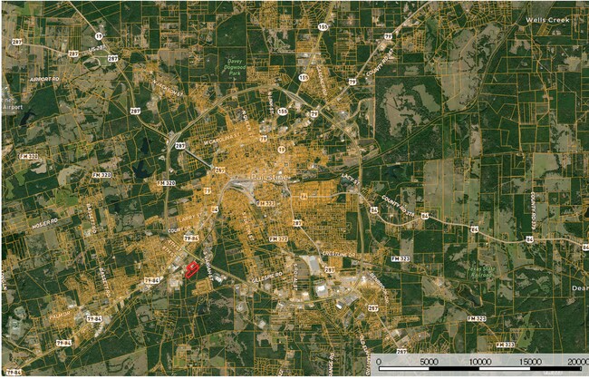
Palestine, TX
NEARBY LISTINGS FOR SALE OR LEASE
DEMOGRAPHICS near 2220 W Reagan St
1 mile
3 mile
5 mile
2025 Total Population
2,080
20,043
26,349
2030 Population
2,100
20,294
26,715
Pop Growth 2025-2030
+ 0.96%
+ 1.25%
+ 1.39%
Average Age
39
38
39
2025 Total Households
753
6,561
8,879
HH Growth 2025-2030
+ 1.06%
+ 1.23%
+ 1.36%
Median Household Inc
$47,653
$44,443
$49,110
Avg Household Size
2.70
2.60
2.60
2025 Avg HH Vehicles
2.00
2.00
2.00
Median Home Value
$216,165
$163,002
$170,161
Median Year Built
1976
1977
1979
Nearby Places
Map Layers
Map Styles
 Street
 Aerial
Layers
 Traffic
 Biking
Places
Listings with unknown addresses are not visible on the map
- Restaurants
- Banks
- Shops
- Fitness
- Groceries
SALE & LEASE HISTORY
LISTING DATE
SALE/LEASE

Mar 15, 2021
For Sale
Nearby Properties
Address
Land Use
TOTAL SIZE
Lot Size
Zoning
Address
Land Use
TOTAL SIZE
Lot Size
Zoning
Address
Land Use
TOTAL SIZE
Lot Size
Zoning
335,801 SF
24.72 AC
Address
Land Use
TOTAL SIZE
Lot Size
Zoning
189,215 SF
20.10 AC
Address
Land Use
TOTAL SIZE
Lot Size
Zoning
79,260 SF
4.99 AC
Address
Land Use
TOTAL SIZE
Lot Size
Zoning
714,542 SF
42.62 AC
Address
Land Use
TOTAL SIZE
Lot Size
Zoning
47,006 SF
16.53 AC
Address
Land Use
TOTAL SIZE
Lot Size
Zoning
128,411 SF
11.21 AC
Address
Land Use
TOTAL SIZE
Lot Size
Zoning
200,254 SF
30.23 AC
Address
Land Use
TOTAL SIZE
Lot Size
Zoning
55,418 SF
46.17 AC
Address
Land Use
TOTAL SIZE
Lot Size
Zoning
56,960 SF
2.99 AC
Address
Land Use
TOTAL SIZE
Lot Size
Zoning
123,994 SF
12.63 AC
Address
Land Use
TOTAL SIZE
Lot Size
Zoning
111,329 SF
20.84 AC
Address
Land Use
TOTAL SIZE
Lot Size
Zoning
36,952 SF
19.14 AC
Address
Land Use
TOTAL SIZE
Lot Size
Zoning
101,535 SF
40.36 AC
Address
Land Use
TOTAL SIZE
Lot Size
Zoning
162,160 SF
43.88 AC
Address
Land Use
TOTAL SIZE
Lot Size
Zoning
118,867 SF
9.27 AC
Address
Land Use
TOTAL SIZE
Lot Size
Zoning
36,735 SF
3.29 AC
Address
Land Use
TOTAL SIZE
Lot Size
Zoning
91,618 SF
9.72 AC
Address
Land Use
TOTAL SIZE
Lot Size
Zoning
15,060 SF
3 AC
Address
Land Use
TOTAL SIZE
Lot Size
Zoning
45,605 SF
8.99 AC
Address
Land Use
TOTAL SIZE
Lot Size
Zoning
119,480 SF
7 AC
Address
Land Use
TOTAL SIZE
Lot Size
Zoning
37,096 SF
3.39 AC
Address
Land Use
TOTAL SIZE
Lot Size
Zoning
45,101 SF
8.56 AC
Address
Land Use
TOTAL SIZE
Lot Size
Zoning
44,736 SF
9 AC
Address
Land Use
TOTAL SIZE
Lot Size
Zoning
128,704 SF
8.33 AC
Address
Land Use
TOTAL SIZE
Lot Size
Zoning
31,104 SF
3.31 AC
Address
Land Use
TOTAL SIZE
Lot Size
Zoning
112,946 SF
7.33 AC
Address
Land Use
TOTAL SIZE
Lot Size
Zoning
121,564 SF
8.64 AC
Address
Land Use
TOTAL SIZE
Lot Size
Zoning
25,201 SF
4.22 AC
Address
Land Use
TOTAL SIZE
Lot Size
Zoning
203,552 SF
10.59 AC
The World's #1 Commercial Real Estate Marketplace
Connect with us
© 2026 CoStar Group
The information above has been obtained from sources believed reliable. While we do not doubt its accuracy we have not verified it and make no guarantee, warranty or representation about it. It is your responsibility to independently confirm its accuracy and completeness. Any projections, opinions, assumptions, or estimates used are for example only and do not represent the current or future performance of the property. The value of this transaction to you depends on tax and other factors which should be evaluated by your tax, financial, and legal advisors. You and your advisors should conduct a careful, independent investigation of the property to determine to your satisfaction the suitability of the property for your needs.