Property Record
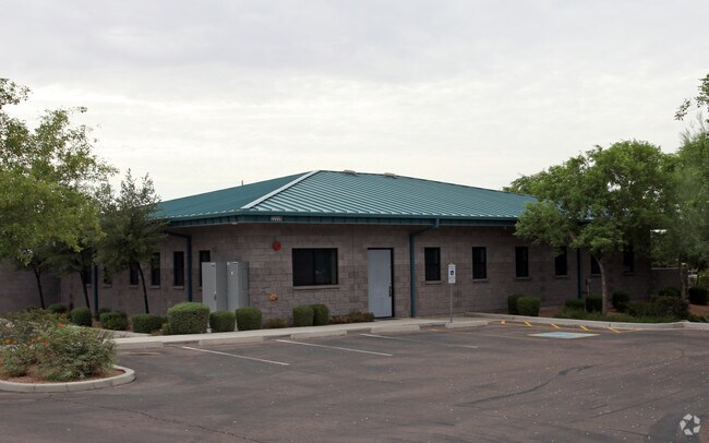
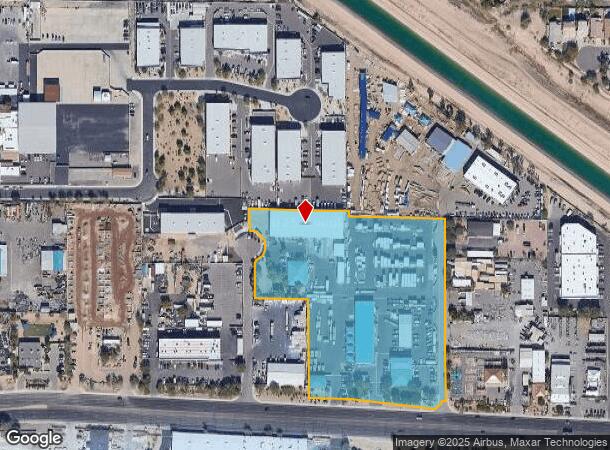
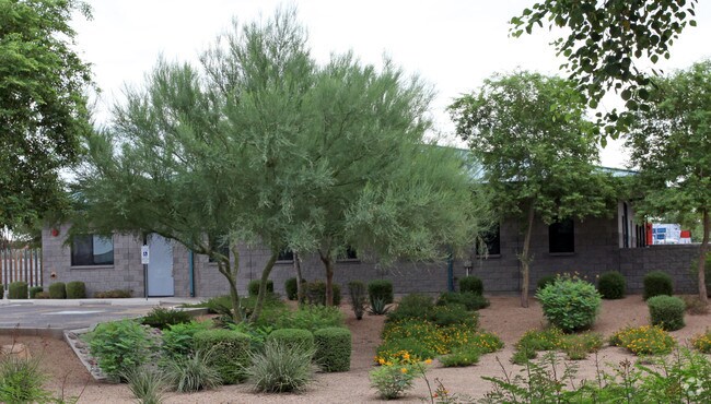
22239 N 17Th Pl, Phoenix, AZ 85024
NEARBY LISTINGS FOR SALE OR LEASE
Property Detail
22239 N 17Th Pl
Phoenix-Mesa-Chandler, AZ
Mccrery Office Complex 2
213-32-411
MCCRERY OFFICE COMPLEX 2 MCR 1250-33
Commercialnec
Maricopa
X
Arizona
04013C1285M
1
2025
7.37 AC
2025
N Phoenix/Cave Creek
614700
Phoenix
52,134 SF
DEMOGRAPHICS near 22239 N 17Th Pl
1 mile
3 mile
5 mile
2024 Total Population
4,023
61,226
209,966
2029 Population
4,312
66,261
227,223
Pop Growth 2024-2029
+ 7.18%
+ 8.22%
+ 8.22%
Average Age
37
39
38
2024 Total Households
1,407
24,802
85,502
HH Growth 2024-2029
+ 7.25%
+ 8.25%
+ 8.38%
Median Household Inc
$121,175
$83,010
$77,178
Avg Household Size
2.80
2.40
2.40
2024 Avg HH Vehicles
2.00
2.00
2.00
Median Home Value
$441,647
$359,452
$375,318
Median Year Built
1995
1993
1991
Nearby Places
Map Layers
Map Styles
 Street
 Aerial
Transit
 Traffic
 Biking
Places
Listings with unknown addresses are not visible on the map
- Restaurants
- Banks
- Shops
- Fitness
- Groceries
PUBLIC TRANSPORTATION
AIRPORT
Phoenix Sky Harbor International
Drive
Walk
Distance
Phoenix Sky Harbor International
33 min
23.2 mi
Freight Ports
Port of San Diego
Drive
Walk
Distance
Port of San Diego
413 min
370.1 mi
Nearby Properties
Address
Land Use
TOTAL SIZE
Lot Size
Zoning
Address
Land Use
TOTAL SIZE
Lot Size
Zoning
267,397 SF
108.70 AC
R-43AG
Address
Land Use
TOTAL SIZE
Lot Size
Zoning
429,168 SF
9.52 AC
R-8
Address
Land Use
TOTAL SIZE
Lot Size
Zoning
289,901 SF
12.30 AC
A-1
Address
Land Use
TOTAL SIZE
Lot Size
Zoning
336,494 SF
55.06 AC
R-43AG
Address
Land Use
TOTAL SIZE
Lot Size
Zoning
389,967 SF
245.48 AC
I-1
Address
Land Use
TOTAL SIZE
Lot Size
Zoning
8,469 SF
215.03 AC
Address
Land Use
TOTAL SIZE
Lot Size
Zoning
264,909 SF
219.16 AC
I-1
Address
Land Use
TOTAL SIZE
Lot Size
Zoning
338,640 SF
10.39 AC
R-4A
Address
Land Use
TOTAL SIZE
Lot Size
Zoning
312,070 SF
20.04 AC
A1
Address
Land Use
TOTAL SIZE
Lot Size
Zoning
242,144 SF
29.78 AC
RE-43
Address
Land Use
TOTAL SIZE
Lot Size
Zoning
291,059 SF
16.54 AC
I-1
Address
Land Use
TOTAL SIZE
Lot Size
Zoning
240.86 AC
IND.PK.
Address
Land Use
TOTAL SIZE
Lot Size
Zoning
355,606 SF
11.35 AC
C-C
Address
Land Use
TOTAL SIZE
Lot Size
Zoning
45,487 SF
117.90 AC
S1
Address
Land Use
TOTAL SIZE
Lot Size
Zoning
255,482 SF
15.30 AC
M-H
Address
Land Use
TOTAL SIZE
Lot Size
Zoning
240,311 SF
14.42 AC
R-43AG
Address
Land Use
TOTAL SIZE
Lot Size
Zoning
328 SF
96.24 AC
R-43AG
Address
Land Use
TOTAL SIZE
Lot Size
Zoning
63,192 SF
94.91 AC
RE43
Address
Land Use
TOTAL SIZE
Lot Size
Zoning
254,079 SF
21.23 AC
Address
Land Use
TOTAL SIZE
Lot Size
Zoning
205,996 SF
20.50 AC
PAD-MD
Address
Land Use
TOTAL SIZE
Lot Size
Zoning
286,650 SF
13.89 AC
M-L
Address
Land Use
TOTAL SIZE
Lot Size
Zoning
145,485 SF
34.32 AC
Address
Land Use
TOTAL SIZE
Lot Size
Zoning
631 SF
83.59 AC
R-43AG
Address
Land Use
TOTAL SIZE
Lot Size
Zoning
247.81 AC
RE-43
Address
Land Use
TOTAL SIZE
Lot Size
Zoning
149,760 SF
16.13 AC
C-C
Address
Land Use
TOTAL SIZE
Lot Size
Zoning
260,497 SF
9.34 AC
R-8
Address
Land Use
TOTAL SIZE
Lot Size
Zoning
97,372 SF
17.51 AC
C-C
Address
Land Use
TOTAL SIZE
Lot Size
Zoning
194,282 SF
16.79 AC
I-1
Address
Land Use
TOTAL SIZE
Lot Size
Zoning
1.87 AC
I-P
Address
Land Use
TOTAL SIZE
Lot Size
Zoning
171,942 SF
10.24 AC
I-1
The World's #1 Commercial Real Estate Marketplace
Connect with us
© 2026 CoStar Group
The information above has been obtained from sources believed reliable. While we do not doubt its accuracy we have not verified it and make no guarantee, warranty or representation about it. It is your responsibility to independently confirm its accuracy and completeness. Any projections, opinions, assumptions, or estimates used are for example only and do not represent the current or future performance of the property. The value of this transaction to you depends on tax and other factors which should be evaluated by your tax, financial, and legal advisors. You and your advisors should conduct a careful, independent investigation of the property to determine to your satisfaction the suitability of the property for your needs.