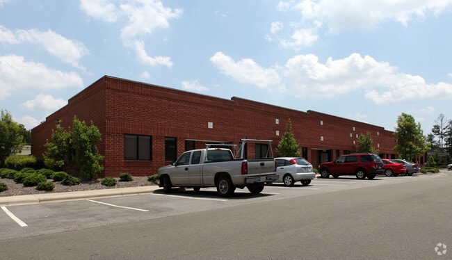
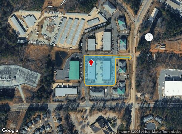
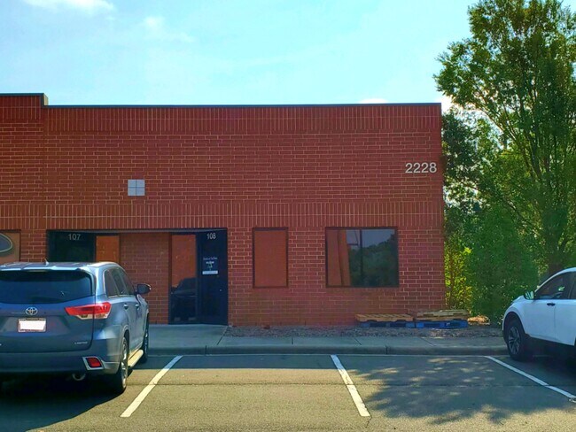
Property Record
2228 Page Rd, Durham, NC 27703

NEARBY LISTINGS FOR SALE OR LEASE
Property Detail
2228 Page Rd
Durham-Chapel Hill, NC
Brassfield
203107
BRASSFIELD CONDOS/BLDG D/ LT#7/UT#D-101 COMFORT CO PL:CD0008-000049
Officecondo
Durham
X
North Carolina
3720075900K
7
2024
2.56 AC
2025
Research Triangle
001809
Raleigh/Durham
1,875 SF
DEMOGRAPHICS near 2228 Page Rd
1 Mile
3 Mile
5 Mile
2024 Total Population
7,067
45,572
103,402
2029 Population
7,510
48,727
109,899
Pop Growth 2024-2029
+ 6.27%
+ 6.92%
+ 6.28%
Average Age
39
40
38
2024 Total Households
3,333
21,697
44,507
HH Growth 2024-2029
+ 6.33%
+ 7.19%
+ 6.61%
Median Household Inc
$89,272
$97,080
$89,978
Avg Household Size
2.10
2.10
2.30
2024 Avg HH Vehicles
2.00
2.00
2.00
Median Home Value
$296,903
$373,889
$334,533
Median Year Built
2007
2010
2005
Nearby Places
- Restaurants
- Banks
- Shops
- Fitness
- Groceries
PUBLIC TRANSPORTATION
COMMUTER RAIL
DRIVE
WALK
Distance
15 min
9.7 mi
AIRPORT
Raleigh-Durham International
DRIVE
WALK
Distance
Raleigh-Durham International
12 min
6.0 mi
SALE & LEASE HISTORY
LISTING DATE
SALE/LEASE

Sep 04, 2020
For Lease
Sep 04, 2020
For Sale
May 05, 2021
For Lease
Jun 14, 2019
For Sale
Dec 27, 2016
For Lease
Aug 04, 2017
For Lease
Nearby Properties
Address
Land Use
TOTAL SIZE
Lot Size
Zoning
Address
Land Use
TOTAL SIZE
Lot Size
Zoning
2,436,024 SF
SRP
Address
Land Use
TOTAL SIZE
Lot Size
Zoning
1,080,486 SF
61.68 AC
SRP
Address
Land Use
TOTAL SIZE
Lot Size
Zoning
677,504 SF
60.32 AC
SRP
Address
Land Use
TOTAL SIZE
Lot Size
Zoning
29.13 AC
CG(D)
Address
Land Use
TOTAL SIZE
Lot Size
Zoning
491,701 SF
124.48 AC
SRP
Address
Land Use
TOTAL SIZE
Lot Size
Zoning
799,818 SF
84.58 AC
IL
Address
Land Use
TOTAL SIZE
Lot Size
Zoning
11,670 SF
41.27 AC
RS-M(D)
Address
Land Use
TOTAL SIZE
Lot Size
Zoning
15,252 SF
29.36 AC
RS-M
Address
Land Use
TOTAL SIZE
Lot Size
Zoning
543,777 SF
28.13 AC
RX-4
Address
Land Use
TOTAL SIZE
Lot Size
Zoning
385,640 SF
36.45 AC
RX-4
Address
Land Use
TOTAL SIZE
Lot Size
Zoning
441,283 SF
23.76 AC
PD
Address
Land Use
TOTAL SIZE
Lot Size
Zoning
2,922 SF
30.57 AC
PDR 4.840
Address
Land Use
TOTAL SIZE
Lot Size
Zoning
353,339 SF
25.95 AC
SRP
Address
Land Use
TOTAL SIZE
Lot Size
Zoning
21.29 AC
CG(D)
Address
Land Use
TOTAL SIZE
Lot Size
Zoning
441,280 SF
48.43 AC
IL
Address
Land Use
TOTAL SIZE
Lot Size
Zoning
529,439 SF
29.84 AC
IL
Address
Land Use
TOTAL SIZE
Lot Size
Zoning
431,534 SF
23.20 AC
RX-4
Address
Land Use
TOTAL SIZE
Lot Size
Zoning
370,540 SF
20.79 AC
PD
Address
Land Use
TOTAL SIZE
Lot Size
Zoning
287,656 SF
20.62 AC
PDR-H
Address
Land Use
TOTAL SIZE
Lot Size
Zoning
21.83 AC
OI
Address
Land Use
TOTAL SIZE
Lot Size
Zoning
303,191 SF
19.18 AC
PD
Address
Land Use
TOTAL SIZE
Lot Size
Zoning
407,178 SF
22.57 AC
PD
Address
Land Use
TOTAL SIZE
Lot Size
Zoning
28,632 SF
23.64 AC
PDR 3.990
Address
Land Use
TOTAL SIZE
Lot Size
Zoning
262,391 SF
8 AC
PD
Address
Land Use
TOTAL SIZE
Lot Size
Zoning
278,044 SF
17.79 AC
RX-3
Address
Land Use
TOTAL SIZE
Lot Size
Zoning
267,757 SF
35.89 AC
CX-5
Address
Land Use
TOTAL SIZE
Lot Size
Zoning
456,072 SF
35.73 AC
IP
Address
Land Use
TOTAL SIZE
Lot Size
Zoning
303,290 SF
14.48 AC
RX-3
Address
Land Use
TOTAL SIZE
Lot Size
Zoning
6,180 SF
26.56 AC
RS-M(D)
Address
Land Use
TOTAL SIZE
Lot Size
Zoning
24,012 SF
19.61 AC
RS-M(D)
The World's #1 Commercial Real Estate Marketplace
Connect with us
© 2025 CoStar Group
The information above has been obtained from sources believed reliable. While we do not doubt its accuracy we have not verified it and make no guarantee, warranty or representation about it. It is your responsibility to independently confirm its accuracy and completeness. Any projections, opinions, assumptions, or estimates used are for example only and do not represent the current or future performance of the property. The value of this transaction to you depends on tax and other factors which should be evaluated by your tax, financial, and legal advisors. You and your advisors should conduct a careful, independent investigation of the property to determine to your satisfaction the suitability of the property for your needs.