Property Record
2228A Highway 169, Algona, IA 50511

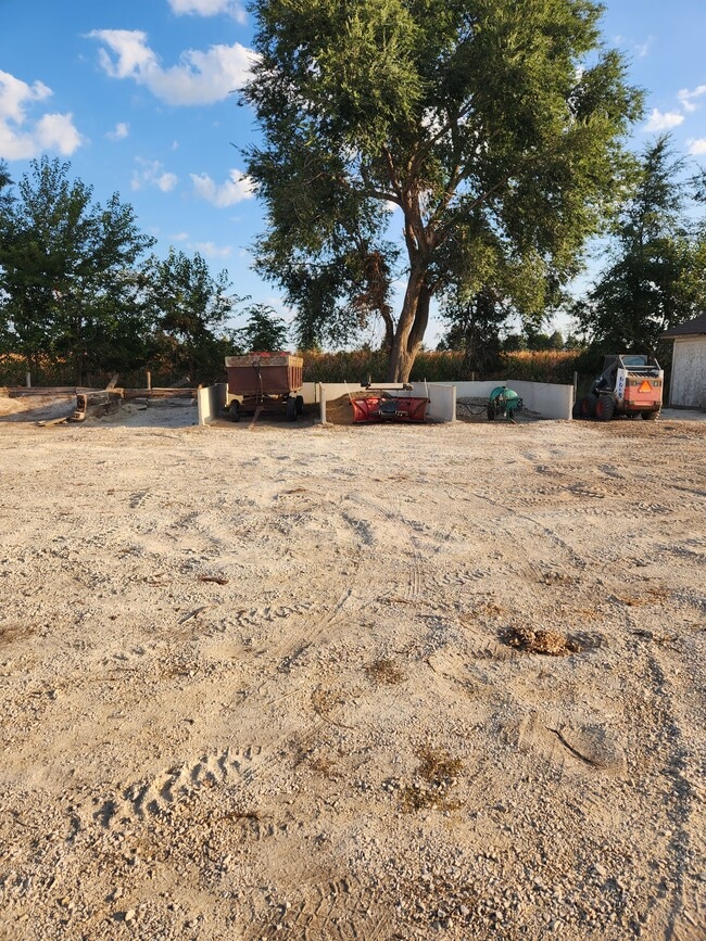

Property Detail
2228A Highway 169
18-35-201-014
LOT 2 GREEN ACRES LOC IN NW NE
Lightindustrial
KOSSUTH
B and X Area of moderate flood hazard, usually the area between the limits of the 100-year and 500-year floods.
Iowa
2024
2
2025
2.07 AC
950500
Iowa West Area
4,200 SF
Other Market Areas
NEARBY LISTINGS FOR SALE OR LEASE
-
-
View all Algona listings for sale on LoopNet.com
DEMOGRAPHICS near 2228A Highway 169
1 mile
3 mile
5 mile
2025 Total Population
79
6,148
6,864
2030 Population
80
6,187
6,888
Pop Growth 2025-2030
+ 1.27%
+ 0.63%
+ 0.35%
Average Age
41
45
44
2025 Total Households
30
2,701
2,986
HH Growth 2025-2030
+ 3.33%
+ 0.63%
+ 0.37%
Median Household Inc
$93,749
$56,496
$58,160
Avg Household Size
2.40
2.10
2.20
2025 Avg HH Vehicles
2.00
2.00
2.00
Median Home Value
$321,428
$189,254
$193,824
Median Year Built
1978
1970
1969
Nearby Places
Map Layers
Map Styles
 Street
 Aerial
Layers
 Traffic
 Biking
Places
Listings with unknown addresses are not visible on the map
- Restaurants
- Banks
- Shops
- Fitness
- Groceries
SALE & LEASE HISTORY
LISTING DATE
SALE/LEASE

Feb 27, 2024
For Sale
Nearby Properties
Address
Land Use
TOTAL SIZE
Lot Size
Zoning
Address
Land Use
TOTAL SIZE
Lot Size
Zoning
188,889 SF
47.39 AC
Address
Land Use
TOTAL SIZE
Lot Size
Zoning
82,573 SF
10.58 AC
Address
Land Use
TOTAL SIZE
Lot Size
Zoning
3,828 SF
45 AC
Address
Land Use
TOTAL SIZE
Lot Size
Zoning
14,984 SF
26.38 AC
Address
Land Use
TOTAL SIZE
Lot Size
Zoning
77,249 SF
20.50 AC
Address
Land Use
TOTAL SIZE
Lot Size
Zoning
448,941 SF
23.61 AC
Address
Land Use
TOTAL SIZE
Lot Size
Zoning
560 SF
50 AC
Address
Land Use
TOTAL SIZE
Lot Size
Zoning
44,144 SF
9.99 AC
Address
Land Use
TOTAL SIZE
Lot Size
Zoning
150,483 SF
55.85 AC
Address
Land Use
TOTAL SIZE
Lot Size
Zoning
36,007 SF
13.99 AC
Address
Land Use
TOTAL SIZE
Lot Size
Zoning
67,629 SF
5.72 AC
Address
Land Use
TOTAL SIZE
Lot Size
Zoning
32,124 SF
5.31 AC
Address
Land Use
TOTAL SIZE
Lot Size
Zoning
25,598 SF
Address
Land Use
TOTAL SIZE
Lot Size
Zoning
17,669 SF
0.73 AC
Address
Land Use
TOTAL SIZE
Lot Size
Zoning
10,820 SF
4.92 AC
Address
Land Use
TOTAL SIZE
Lot Size
Zoning
8,301 SF
0.47 AC
Address
Land Use
TOTAL SIZE
Lot Size
Zoning
7,545 SF
10.37 AC
Address
Land Use
TOTAL SIZE
Lot Size
Zoning
100,000 SF
4.74 AC
Address
Land Use
TOTAL SIZE
Lot Size
Zoning
8,588 SF
26.93 AC
Address
Land Use
TOTAL SIZE
Lot Size
Zoning
101,644 SF
7.63 AC
Address
Land Use
TOTAL SIZE
Lot Size
Zoning
26,946 SF
1.52 AC
Address
Land Use
TOTAL SIZE
Lot Size
Zoning
49,850 SF
1.33 AC
Address
Land Use
TOTAL SIZE
Lot Size
Zoning
7,773 SF
0.45 AC
Address
Land Use
TOTAL SIZE
Lot Size
Zoning
21,237 SF
3.13 AC
Address
Land Use
TOTAL SIZE
Lot Size
Zoning
22,956 SF
2.43 AC
Address
Land Use
TOTAL SIZE
Lot Size
Zoning
6,300 SF
1.74 AC
Address
Land Use
TOTAL SIZE
Lot Size
Zoning
22,000 SF
1.26 AC
Address
Land Use
TOTAL SIZE
Lot Size
Zoning
16,678 SF
2.01 AC
Address
Land Use
TOTAL SIZE
Lot Size
Zoning
51,824 SF
1.70 AC
Address
Land Use
TOTAL SIZE
Lot Size
Zoning
7,742 SF
1.92 AC
The World's #1 Commercial Real Estate Marketplace
Connect with us
© 2026 CoStar Group
The information above has been obtained from sources believed reliable. While we do not doubt its accuracy we have not verified it and make no guarantee, warranty or representation about it. It is your responsibility to independently confirm its accuracy and completeness. Any projections, opinions, assumptions, or estimates used are for example only and do not represent the current or future performance of the property. The value of this transaction to you depends on tax and other factors which should be evaluated by your tax, financial, and legal advisors. You and your advisors should conduct a careful, independent investigation of the property to determine to your satisfaction the suitability of the property for your needs.