Property Record
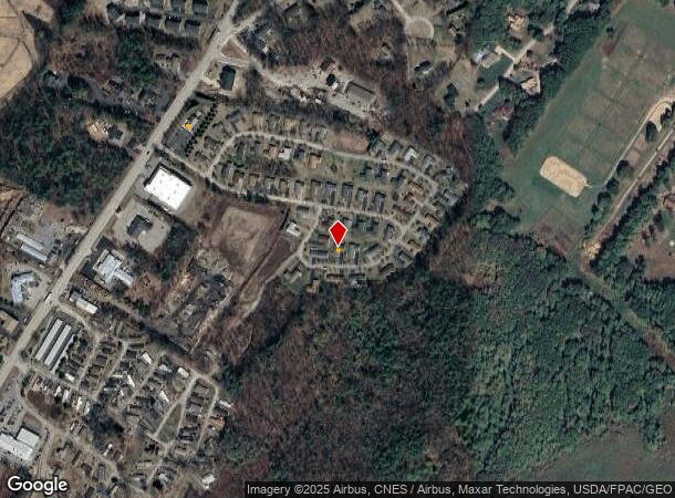
223 Lafayette Rd, North Hampton, NH 03862

NEARBY LISTINGS FOR SALE OR LEASE
Property Detail
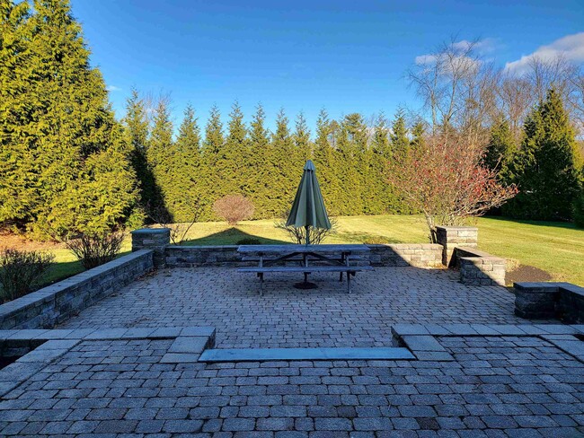
223 Lafayette Rd
Outdoorrecreationbeachmountaindesert
Rockingham
X
New Hampshire
33015C0430F
37.42 AC
2024
Rockingham
2024
Boston
066000
Boston-Cambridge-Newton, MA-NH
2,236 SF
NHTN-000021-000001
DEMOGRAPHICS near 223 Lafayette Rd
1 mile
3 mile
5 mile
2024 Total Population
1,556
13,206
42,559
2029 Population
1,637
13,777
44,431
Pop Growth 2024-2029
+ 5.21%
+ 4.32%
+ 4.40%
Average Age
50
47
46
2024 Total Households
651
5,757
18,104
HH Growth 2024-2029
+ 5.07%
+ 4.26%
+ 4.39%
Median Household Inc
$99,175
$114,781
$110,903
Avg Household Size
2.30
2.30
2.30
2024 Avg HH Vehicles
2.00
2.00
2.00
Median Home Value
$683,876
$661,014
$581,511
Median Year Built
1985
1983
1979
Nearby Places
Map Layers
Map Styles
 Street
 Aerial
Transit
 Traffic
 Biking
Places
Listings with unknown addresses are not visible on the map
- Restaurants
- Banks
- Shops
- Fitness
- Groceries
PUBLIC TRANSPORTATION
COMMUTER RAIL
Exeter (Downeaster - Amtrak)
Drive
Walk
Distance
Exeter (Downeaster - Amtrak)
19 min
9.0 mi
AIRPORT
Portsmouth International at Pease
Drive
Walk
Distance
Portsmouth International at Pease
18 min
7.9 mi
Freight Ports
Port of Boston
Drive
Walk
Distance
Port of Boston
78 min
53.3 mi
SALE & LEASE HISTORY
LISTING DATE
SALE/LEASE

Dec 21, 2022
For Lease
Nearby Properties
Address
Land Use
TOTAL SIZE
Lot Size
Zoning
Address
Land Use
TOTAL SIZE
Lot Size
Zoning
35.53 AC
GA/MH
Address
Land Use
TOTAL SIZE
Lot Size
Zoning
28.05 AC
GA/MH
Address
Land Use
TOTAL SIZE
Lot Size
Zoning
114,194 SF
G1
Address
Land Use
TOTAL SIZE
Lot Size
Zoning
33.39 AC
IND
Address
Land Use
TOTAL SIZE
Lot Size
Zoning
25.08 AC
NRP
Address
Land Use
TOTAL SIZE
Lot Size
Zoning
190,444 SF
20.38 AC
G1
Address
Land Use
TOTAL SIZE
Lot Size
Zoning
7.16 AC
GA/MH
Address
Land Use
TOTAL SIZE
Lot Size
Zoning
53,008 SF
17.70 AC
SRES
Address
Land Use
TOTAL SIZE
Lot Size
Zoning
72,193 SF
G1
Address
Land Use
TOTAL SIZE
Lot Size
Zoning
85,152 SF
13.04 AC
G1
Address
Land Use
TOTAL SIZE
Lot Size
Zoning
207,279 SF
33.07 AC
I
Address
Land Use
TOTAL SIZE
Lot Size
Zoning
143,468 SF
61.40 AC
IB/R
Address
Land Use
TOTAL SIZE
Lot Size
Zoning
Address
Land Use
TOTAL SIZE
Lot Size
Zoning
134,204 SF
G1
Address
Land Use
TOTAL SIZE
Lot Size
Zoning
1,740 SF
67.09 AC
GA/MH
Address
Land Use
TOTAL SIZE
Lot Size
Zoning
114,814 SF
12.19 AC
IB/R
Address
Land Use
TOTAL SIZE
Lot Size
Zoning
64.57 AC
I
Address
Land Use
TOTAL SIZE
Lot Size
Zoning
3.80 AC
G1
Address
Land Use
TOTAL SIZE
Lot Size
Zoning
6,572 SF
1.20 AC
SRES
Address
Land Use
TOTAL SIZE
Lot Size
Zoning
4.79 AC
I
Address
Land Use
TOTAL SIZE
Lot Size
Zoning
83,021 SF
3.54 AC
RES
Address
Land Use
TOTAL SIZE
Lot Size
Zoning
9,263 SF
59.85 AC
R2
Address
Land Use
TOTAL SIZE
Lot Size
Zoning
69,745 SF
85.26 AC
R2
Address
Land Use
TOTAL SIZE
Lot Size
Zoning
33,716 SF
G1
Address
Land Use
TOTAL SIZE
Lot Size
Zoning
34,359 SF
10.15 AC
COM
Address
Land Use
TOTAL SIZE
Lot Size
Zoning
1,699 SF
9.61 AC
IB/R
Address
Land Use
TOTAL SIZE
Lot Size
Zoning
14,021 SF
2.37 AC
SRES
Address
Land Use
TOTAL SIZE
Lot Size
Zoning
62,322 SF
5.55 AC
I
Address
Land Use
TOTAL SIZE
Lot Size
Zoning
6,428 SF
2.36 AC
GRES
Address
Land Use
TOTAL SIZE
Lot Size
Zoning
3.51 AC
G1
The World's #1 Commercial Real Estate Marketplace
Connect with us
© 2026 CoStar Group
The information above has been obtained from sources believed reliable. While we do not doubt its accuracy we have not verified it and make no guarantee, warranty or representation about it. It is your responsibility to independently confirm its accuracy and completeness. Any projections, opinions, assumptions, or estimates used are for example only and do not represent the current or future performance of the property. The value of this transaction to you depends on tax and other factors which should be evaluated by your tax, financial, and legal advisors. You and your advisors should conduct a careful, independent investigation of the property to determine to your satisfaction the suitability of the property for your needs.