Property Record
2230 3Rd Ave N, Lewiston, ID 83501

NEARBY LISTINGS FOR SALE OR LEASE
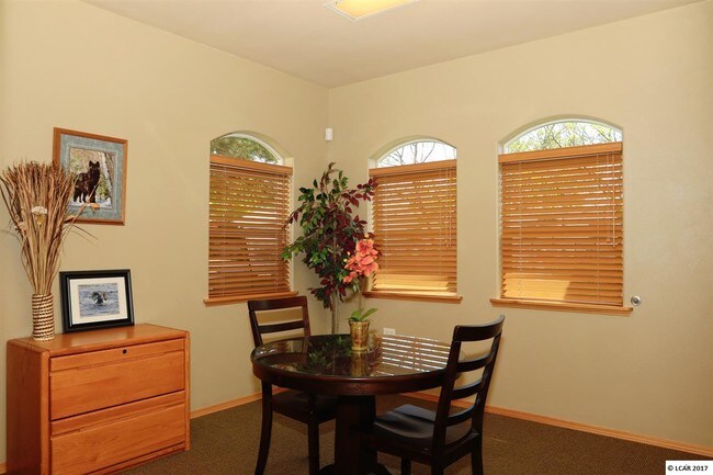
Property Detail
2230 3Rd Ave N
Coeur D'Alene
Fisher Acres
Lewiston, ID-WA
Nez Perce
RPL0510001003E
Idaho
Taxexempt
0.33 AC
2,236 SF
Nez Perce
DEMOGRAPHICS near 2230 3Rd Ave N
1 Mile
3 Mile
5 Mile
2024 Total Population
3,374
28,631
54,750
2029 Population
3,566
30,070
57,406
Pop Growth 2024-2029
+ 5.69%
+ 5.03%
+ 4.85%
Average Age
39
40
42
2024 Total Households
1,381
12,051
22,843
HH Growth 2024-2029
+ 5.72%
+ 5.06%
+ 4.84%
Median Household Inc
$58,404
$54,291
$63,776
Avg Household Size
2.40
2.20
2.30
2024 Avg HH Vehicles
2.00
2.00
2.00
Median Home Value
$275,854
$244,688
$267,359
Median Year Built
1965
1962
1971
Nearby Places
Map Layers
Map Styles
 Street
 Aerial
- Restaurants
- Banks
- Shops
- Fitness
- Groceries
PUBLIC TRANSPORTATION
AIRPORT
Lewiston/Nez Perce County
DRIVE
WALK
Distance
Lewiston/Nez Perce County
14 min
5.3 mi
Pullman/Moscow Regional
DRIVE
WALK
Distance
Pullman/Moscow Regional
51 min
37.0 mi
Freight Ports
Port of Tacoma
DRIVE
WALK
Distance
Port of Tacoma
420 min
327.6 mi
SALE & LEASE HISTORY
LISTING DATE
SALE/LEASE

Sep 24, 2016
For Sale
Oct 31, 2017
For Lease
May 11, 2017
For Sale
Jul 27, 2018
For Sale
Jul 25, 2017
For Sale
Nearby Properties
Address
Land Use
TOTAL SIZE
Lot Size
Zoning
Address
Land Use
TOTAL SIZE
Lot Size
Zoning
22.44 AC
1
Address
Land Use
TOTAL SIZE
Lot Size
Zoning
160,676 SF
8.24 AC
1
Address
Land Use
TOTAL SIZE
Lot Size
Zoning
25,810 SF
2.21 AC
Address
Land Use
TOTAL SIZE
Lot Size
Zoning
41,940 SF
1.68 AC
Address
Land Use
TOTAL SIZE
Lot Size
Zoning
52,577 SF
3.76 AC
Address
Land Use
TOTAL SIZE
Lot Size
Zoning
59,815 SF
9.36 AC
1
Address
Land Use
TOTAL SIZE
Lot Size
Zoning
22,264 SF
0.50 AC
Address
Land Use
TOTAL SIZE
Lot Size
Zoning
1.35 AC
Address
Land Use
TOTAL SIZE
Lot Size
Zoning
30,002 SF
1.51 AC
Address
Land Use
TOTAL SIZE
Lot Size
Zoning
42,579 SF
5.74 AC
Address
Land Use
TOTAL SIZE
Lot Size
Zoning
77,376 SF
2.67 AC
Address
Land Use
TOTAL SIZE
Lot Size
Zoning
1,802 SF
2.18 AC
1
Address
Land Use
TOTAL SIZE
Lot Size
Zoning
29,092 SF
1.56 AC
Address
Land Use
TOTAL SIZE
Lot Size
Zoning
31,620 SF
0.16 AC
NHMU
Address
Land Use
TOTAL SIZE
Lot Size
Zoning
38,340 SF
2.67 AC
Address
Land Use
TOTAL SIZE
Lot Size
Zoning
9,600 SF
0.60 AC
Address
Land Use
TOTAL SIZE
Lot Size
Zoning
14,550 SF
1.27 AC
Address
Land Use
TOTAL SIZE
Lot Size
Zoning
3.28 AC
Address
Land Use
TOTAL SIZE
Lot Size
Zoning
25,720 SF
1.42 AC
Address
Land Use
TOTAL SIZE
Lot Size
Zoning
11,088 SF
0.74 AC
Address
Land Use
TOTAL SIZE
Lot Size
Zoning
164.47 AC
F1
Address
Land Use
TOTAL SIZE
Lot Size
Zoning
3,616 SF
2.33 AC
Address
Land Use
TOTAL SIZE
Lot Size
Zoning
17,800 SF
1.33 AC
Address
Land Use
TOTAL SIZE
Lot Size
Zoning
33,678 SF
3.37 AC
Address
Land Use
TOTAL SIZE
Lot Size
Zoning
17,070 SF
1.34 AC
Address
Land Use
TOTAL SIZE
Lot Size
Zoning
19,497 SF
0.29 AC
Address
Land Use
TOTAL SIZE
Lot Size
Zoning
33.73 AC
M2
Address
Land Use
TOTAL SIZE
Lot Size
Zoning
1,791 SF
0.63 AC
Address
Land Use
TOTAL SIZE
Lot Size
Zoning
5,642 SF
0.67 AC
The World's #1 Commercial Real Estate Marketplace
Connect with us
© 2026 CoStar Group
The information above has been obtained from sources believed reliable. While we do not doubt its accuracy we have not verified it and make no guarantee, warranty or representation about it. It is your responsibility to independently confirm its accuracy and completeness. Any projections, opinions, assumptions, or estimates used are for example only and do not represent the current or future performance of the property. The value of this transaction to you depends on tax and other factors which should be evaluated by your tax, financial, and legal advisors. You and your advisors should conduct a careful, independent investigation of the property to determine to your satisfaction the suitability of the property for your needs.