Property Record
2240 Elkhorn Rd, Lexington, KY 40505
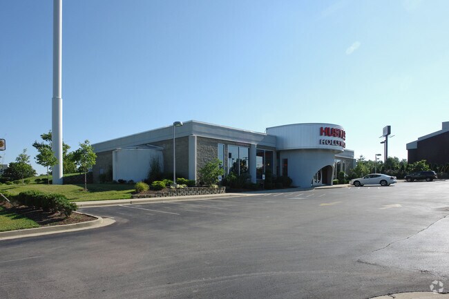


Property Detail
2240 Elkhorn Rd
10043390
H-609 INTERCHG SVC CTR L12 LOT 12; BOOK: 3124 PAGE: 443
Storebuilding
Fayette
B-5P
Kentucky
B and X Area of moderate flood hazard, usually the area between the limits of the 100-year and 500-year floods.
12
2025
1.25 AC
2025
East Lexington/Fayette
003300
Lexington/Fayette
7,117 SF
Lexington-Fayette, KY
NEARBY LISTINGS FOR SALE OR LEASE
DEMOGRAPHICS near 2240 Elkhorn Rd
1 mile
3 mile
5 mile
2025 Total Population
2,780
56,659
151,842
2030 Population
2,873
58,511
157,198
Pop Growth 2025-2030
+ 3.35%
+ 3.27%
+ 3.53%
Average Age
40
39
38
2025 Total Households
1,264
24,722
63,902
HH Growth 2025-2030
+ 3.40%
+ 3.46%
+ 3.87%
Median Household Inc
$92,291
$65,760
$62,852
Avg Household Size
2.10
2.20
2.20
2025 Avg HH Vehicles
2.00
2.00
2.00
Median Home Value
$351,572
$275,867
$314,036
Median Year Built
2000
1990
1980
Nearby Places
Map Layers
Map Styles
 Street
 Aerial
Layers
 Traffic
 Biking
Places
Listings with unknown addresses are not visible on the map
- Restaurants
- Banks
- Shops
- Fitness
- Groceries
PUBLIC TRANSPORTATION
AIRPORT
Blue Grass
Drive
Walk
Distance
Blue Grass
24 min
14.3 mi
Nearby Properties
Address
Land Use
TOTAL SIZE
Lot Size
Zoning
Address
Land Use
TOTAL SIZE
Lot Size
Zoning
7,640 SF
9.04 AC
EAR-3
Address
Land Use
TOTAL SIZE
Lot Size
Zoning
209,517 SF
39.97 AC
R-1B
Address
Land Use
TOTAL SIZE
Lot Size
Zoning
19 AC
R-3
Address
Land Use
TOTAL SIZE
Lot Size
Zoning
9,746 SF
16.65 AC
R-4
Address
Land Use
TOTAL SIZE
Lot Size
Zoning
18.69 AC
R-3
Address
Land Use
TOTAL SIZE
Lot Size
Zoning
64,617 SF
41.63 AC
B-6P
Address
Land Use
TOTAL SIZE
Lot Size
Zoning
8,208 SF
21.16 AC
R-3
Address
Land Use
TOTAL SIZE
Lot Size
Zoning
163,828 SF
17.69 AC
P-1
Address
Land Use
TOTAL SIZE
Lot Size
Zoning
57,974 SF
15.22 AC
B-6P
Address
Land Use
TOTAL SIZE
Lot Size
Zoning
24,174 SF
15.02 AC
R-3
Address
Land Use
TOTAL SIZE
Lot Size
Zoning
13.77 AC
R-4
Address
Land Use
TOTAL SIZE
Lot Size
Zoning
41.55 AC
ED
Address
Land Use
TOTAL SIZE
Lot Size
Zoning
42,642 SF
10.35 AC
B-6P
Address
Land Use
TOTAL SIZE
Lot Size
Zoning
4,868 SF
15.41 AC
R-3
Address
Land Use
TOTAL SIZE
Lot Size
Zoning
9,434 SF
16.28 AC
R-3
Address
Land Use
TOTAL SIZE
Lot Size
Zoning
103,445 SF
18.39 AC
A-U
Address
Land Use
TOTAL SIZE
Lot Size
Zoning
267,060 SF
65 AC
R-3
Address
Land Use
TOTAL SIZE
Lot Size
Zoning
25,608 SF
104.39 AC
I-1
Address
Land Use
TOTAL SIZE
Lot Size
Zoning
53,543 SF
9.78 AC
R-1C
Address
Land Use
TOTAL SIZE
Lot Size
Zoning
123,132 SF
6.81 AC
R-4
Address
Land Use
TOTAL SIZE
Lot Size
Zoning
147,967 SF
17.03 AC
CC
Address
Land Use
TOTAL SIZE
Lot Size
Zoning
39,672 SF
46.50 AC
R-1B
Address
Land Use
TOTAL SIZE
Lot Size
Zoning
20,267 SF
877.22 AC
A-R
Address
Land Use
TOTAL SIZE
Lot Size
Zoning
25,032 SF
12.25 AC
B-6P
Address
Land Use
TOTAL SIZE
Lot Size
Zoning
263,835 SF
13.44 AC
R-3
Address
Land Use
TOTAL SIZE
Lot Size
Zoning
Address
Land Use
TOTAL SIZE
Lot Size
Zoning
235,969 SF
27.81 AC
B-6P
Address
Land Use
TOTAL SIZE
Lot Size
Zoning
14.42 AC
P-1
Address
Land Use
TOTAL SIZE
Lot Size
Zoning
72,720 SF
15.12 AC
R-3
Address
Land Use
TOTAL SIZE
Lot Size
Zoning
71,420 SF
14.82 AC
R-2
The World's #1 Commercial Real Estate Marketplace
Connect with us
© 2026 CoStar Group
The information above has been obtained from sources believed reliable. While we do not doubt its accuracy we have not verified it and make no guarantee, warranty or representation about it. It is your responsibility to independently confirm its accuracy and completeness. Any projections, opinions, assumptions, or estimates used are for example only and do not represent the current or future performance of the property. The value of this transaction to you depends on tax and other factors which should be evaluated by your tax, financial, and legal advisors. You and your advisors should conduct a careful, independent investigation of the property to determine to your satisfaction the suitability of the property for your needs.