Property Record
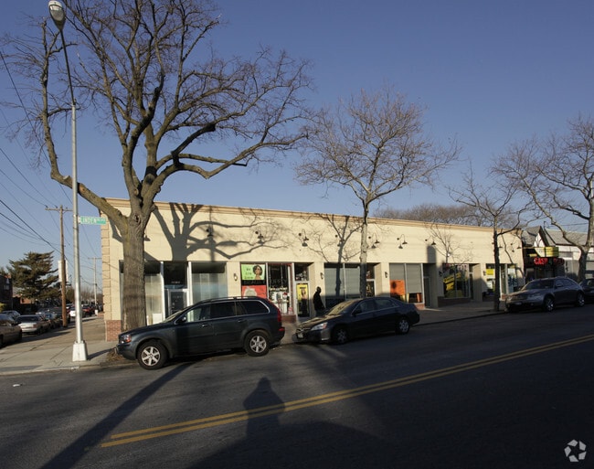
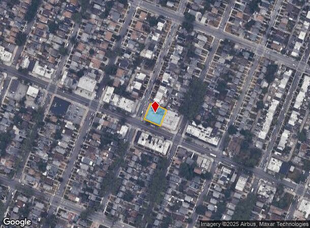
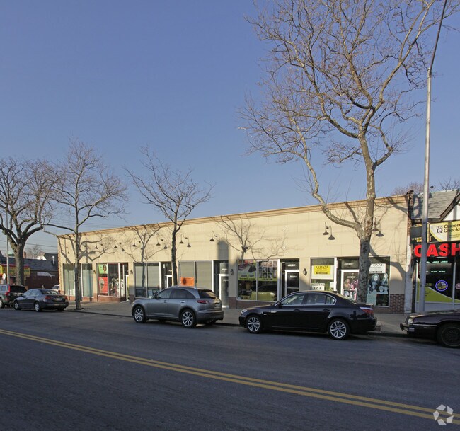
22401 Linden Blvd, Cambria Heights, NY 11411
NEARBY LISTINGS FOR SALE OR LEASE
Property Detail
22401 Linden Blvd
11325-0006
Long Island Estates
Storebuilding
Queens
X
New York
36059C0205G
6
2024
0.23 AC
2025
South Queens
060000
Long Island (New York)
5,500 SF
New York-Jersey City-White Plains, NY-NJ
DEMOGRAPHICS near 22401 Linden Blvd
1 Mile
3 Mile
5 Mile
2024 Total Population
44,406
411,998
992,270
2029 Population
41,240
383,958
933,219
Pop Growth 2024-2029
(7.13%)
(6.81%)
(5.95%)
Average Age
44
42
42
2024 Total Households
13,513
127,391
317,286
HH Growth 2024-2029
(7.72%)
(7.16%)
(6.20%)
Median Household Inc
$104,961
$90,145
$90,667
Avg Household Size
3.20
3.10
3.00
2024 Avg HH Vehicles
2.00
1.00
1.00
Median Home Value
$595,075
$627,365
$665,528
Median Year Built
1948
1951
1952
Nearby Places
- Restaurants
- Banks
- Shops
- Fitness
- Groceries
PUBLIC TRANSPORTATION
COMMUTER RAIL
Saint Albans Station (West Hempstead Branch - Long Island Rail Road)
DRIVE
WALK
Distance
Saint Albans Station (West Hempstead Branch - Long Island Rail Road)
7 min
2.0 mi
Queens Village Station (Hempstead Branch - Long Island Rail Road)
DRIVE
WALK
Distance
Queens Village Station (Hempstead Branch - Long Island Rail Road)
5 min
2.1 mi
AIRPORT
John F Kennedy International
DRIVE
WALK
Distance
John F Kennedy International
14 min
7.4 mi
LaGuardia
DRIVE
WALK
Distance
LaGuardia
21 min
11.8 mi
Newark Liberty International
DRIVE
WALK
Distance
Newark Liberty International
47 min
31.2 mi
Freight Ports
NY - Red Hook Container Terminal
DRIVE
WALK
Distance
NY - Red Hook Container Terminal
32 min
20.0 mi
Nearby Properties
Address
Land Use
TOTAL SIZE
Lot Size
Zoning
Address
Land Use
TOTAL SIZE
Lot Size
Zoning
986,724 SF
89.79 AC
R3-2
Address
Land Use
TOTAL SIZE
Lot Size
Zoning
294.47 AC
PARK
Address
Land Use
TOTAL SIZE
Lot Size
Zoning
13,500 SF
104 AC
PARK
Address
Land Use
TOTAL SIZE
Lot Size
Zoning
731,247 SF
56.09 AC
R3-2
Address
Land Use
TOTAL SIZE
Lot Size
Zoning
636,219 SF
11.39 AC
R3-2
Address
Land Use
TOTAL SIZE
Lot Size
Zoning
82.92 AC
PARK
Address
Land Use
TOTAL SIZE
Lot Size
Zoning
7,030 SF
12.43 AC
R3-2
Address
Land Use
TOTAL SIZE
Lot Size
Zoning
285,170 SF
12.63 AC
R3-1
Address
Land Use
TOTAL SIZE
Lot Size
Zoning
27.23 AC
PARK
Address
Land Use
TOTAL SIZE
Lot Size
Zoning
50,000 SF
52.45 AC
PARK
Address
Land Use
TOTAL SIZE
Lot Size
Zoning
175,040 SF
10.19 AC
R3X
Address
Land Use
TOTAL SIZE
Lot Size
Zoning
129,378 SF
4.86 AC
R2A
Address
Land Use
TOTAL SIZE
Lot Size
Zoning
187,000 SF
3.24 AC
R4-1
Address
Land Use
TOTAL SIZE
Lot Size
Zoning
304,128 SF
3.70 AC
R6
Address
Land Use
TOTAL SIZE
Lot Size
Zoning
41,756 SF
1.02 AC
R5D
Address
Land Use
TOTAL SIZE
Lot Size
Zoning
160,000 SF
4.02 AC
R3-2
Address
Land Use
TOTAL SIZE
Lot Size
Zoning
189,693 SF
2.11 AC
R3-2
Address
Land Use
TOTAL SIZE
Lot Size
Zoning
165,600 SF
2.11 AC
R6
Address
Land Use
TOTAL SIZE
Lot Size
Zoning
99,814 SF
1.31 AC
R3-2
Address
Land Use
TOTAL SIZE
Lot Size
Zoning
615,000 SF
3.60 AC
R3-2
Address
Land Use
TOTAL SIZE
Lot Size
Zoning
122,080 SF
2.81 AC
R2
Address
Land Use
TOTAL SIZE
Lot Size
Zoning
5,296 SF
37.42 AC
PARK
Address
Land Use
TOTAL SIZE
Lot Size
Zoning
138,000 SF
7.06 AC
R3-2
Address
Land Use
TOTAL SIZE
Lot Size
Zoning
213,338 SF
2.91 AC
R3X
Address
Land Use
TOTAL SIZE
Lot Size
Zoning
144,474 SF
2.07 AC
R7-2
Address
Land Use
TOTAL SIZE
Lot Size
Zoning
252,665 SF
7.50 AC
R3-2
Address
Land Use
TOTAL SIZE
Lot Size
Zoning
352,800 SF
8.62 AC
R5
Address
Land Use
TOTAL SIZE
Lot Size
Zoning
110,000 SF
1.48 AC
R2
Address
Land Use
TOTAL SIZE
Lot Size
Zoning
97,190 SF
1.75 AC
R3X
Address
Land Use
TOTAL SIZE
Lot Size
Zoning
170,000 SF
4.02 AC
R3-2
The World's #1 Commercial Real Estate Marketplace
Connect with us
© 2025 CoStar Group
The information above has been obtained from sources believed reliable. While we do not doubt its accuracy we have not verified it and make no guarantee, warranty or representation about it. It is your responsibility to independently confirm its accuracy and completeness. Any projections, opinions, assumptions, or estimates used are for example only and do not represent the current or future performance of the property. The value of this transaction to you depends on tax and other factors which should be evaluated by your tax, financial, and legal advisors. You and your advisors should conduct a careful, independent investigation of the property to determine to your satisfaction the suitability of the property for your needs.