Property Record
225 Hanover Rd, York, PA 17408


NEARBY LISTINGS FOR SALE OR LEASE
-
-
View all York listings for lease on LoopNet.com
Property Detail
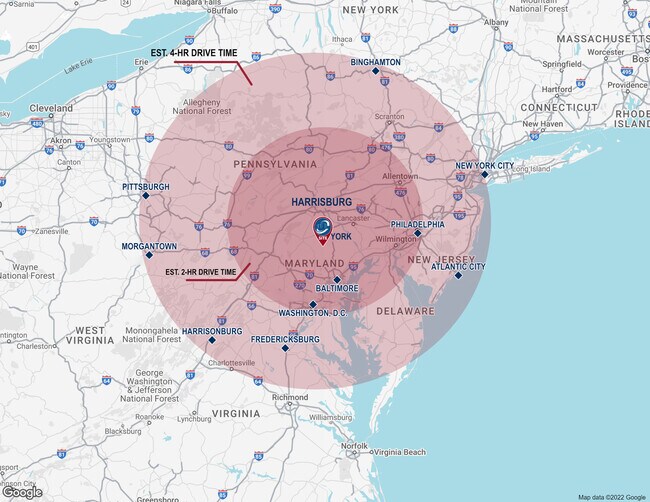
225 Hanover Rd
Lightindustrial
York
X
Pennsylvania
42133C0315F
12 AC
2025
York County
2025
Philadelphia
021600
York-Hanover, PA
19,396 SF
51-000-HG-0086.00-00000
DEMOGRAPHICS near 225 Hanover Rd
1 Mile
3 Mile
5 Mile
2024 Total Population
1,644
14,155
66,644
2029 Population
1,672
14,540
68,249
Pop Growth 2024-2029
+ 1.70%
+ 2.72%
+ 2.41%
Average Age
43
42
41
2024 Total Households
648
5,558
26,257
HH Growth 2024-2029
+ 1.85%
+ 2.72%
+ 2.43%
Median Household Inc
$64,615
$73,442
$68,028
Avg Household Size
2.40
2.50
2.40
2024 Avg HH Vehicles
2.00
2.00
2.00
Median Home Value
$174,632
$206,963
$186,041
Median Year Built
1974
1983
1976
Nearby Places
Map Layers
Map Styles
 Street
 Aerial
- Restaurants
- Banks
- Shops
- Fitness
- Groceries
PUBLIC TRANSPORTATION
AIRPORT
Harrisburg International
DRIVE
WALK
Distance
Harrisburg International
51 min
35.3 mi
Freight Ports
Port of Baltimore
DRIVE
WALK
Distance
Port of Baltimore
87 min
60.4 mi
SALE & LEASE HISTORY
LISTING DATE
SALE/LEASE

Sep 24, 2024
For Lease
Oct 27, 2021
For Sale
Mar 04, 2020
For Sale
Jun 17, 2022
For Sale
Apr 26, 2022
For Lease
Nearby Properties
Address
Land Use
TOTAL SIZE
Lot Size
Zoning
Address
Land Use
TOTAL SIZE
Lot Size
Zoning
98.48 AC
ID
Address
Land Use
TOTAL SIZE
Lot Size
Zoning
1,126,952 SF
232.70 AC
ID
Address
Land Use
TOTAL SIZE
Lot Size
Zoning
785,400 SF
49.45 AC
I3
Address
Land Use
TOTAL SIZE
Lot Size
Zoning
1,004,453 SF
47.56 AC
I3
Address
Land Use
TOTAL SIZE
Lot Size
Zoning
22,100 SF
138.33 AC
ID
Address
Land Use
TOTAL SIZE
Lot Size
Zoning
26.20 AC
I3
Address
Land Use
TOTAL SIZE
Lot Size
Zoning
312,000 SF
26.81 AC
RS
Address
Land Use
TOTAL SIZE
Lot Size
Zoning
24,375 SF
977.35 AC
ID
Address
Land Use
TOTAL SIZE
Lot Size
Zoning
68,520 SF
23.56 AC
AG
Address
Land Use
TOTAL SIZE
Lot Size
Zoning
339,876 SF
23.58 AC
ID
Address
Land Use
TOTAL SIZE
Lot Size
Zoning
105,665 SF
10.88 AC
ID
Address
Land Use
TOTAL SIZE
Lot Size
Zoning
59.90 AC
AG
Address
Land Use
TOTAL SIZE
Lot Size
Zoning
170,336 SF
25.31 AC
ID
Address
Land Use
TOTAL SIZE
Lot Size
Zoning
10.26 AC
RS
Address
Land Use
TOTAL SIZE
Lot Size
Zoning
35,784 SF
38.12 AC
RS
Address
Land Use
TOTAL SIZE
Lot Size
Zoning
37,888 SF
10.92 AC
RS
Address
Land Use
TOTAL SIZE
Lot Size
Zoning
188,040 SF
10 AC
ID
Address
Land Use
TOTAL SIZE
Lot Size
Zoning
17,572 SF
28.54 AC
ID
Address
Land Use
TOTAL SIZE
Lot Size
Zoning
39,378 SF
8.66 AC
I2
Address
Land Use
TOTAL SIZE
Lot Size
Zoning
1,492 SF
24.46 AC
ID
Address
Land Use
TOTAL SIZE
Lot Size
Zoning
2,814 SF
116.97 AC
ID
Address
Land Use
TOTAL SIZE
Lot Size
Zoning
163,510 SF
9.91 AC
ID
Address
Land Use
TOTAL SIZE
Lot Size
Zoning
90,664 SF
15.60 AC
RS
Address
Land Use
TOTAL SIZE
Lot Size
Zoning
1,924 SF
33.09 AC
AG
Address
Land Use
TOTAL SIZE
Lot Size
Zoning
110,200 SF
17.35 AC
ID
Address
Land Use
TOTAL SIZE
Lot Size
Zoning
172.10 AC
Address
Land Use
TOTAL SIZE
Lot Size
Zoning
4,894 SF
8.40 AC
RS
Address
Land Use
TOTAL SIZE
Lot Size
Zoning
4,264 SF
5.67 AC
CM
Address
Land Use
TOTAL SIZE
Lot Size
Zoning
32,443 SF
13.15 AC
I3
Address
Land Use
TOTAL SIZE
Lot Size
Zoning
149,820 SF
17.22 AC
ID
The World's #1 Commercial Real Estate Marketplace
Connect with us
© 2025 CoStar Group
The information above has been obtained from sources believed reliable. While we do not doubt its accuracy we have not verified it and make no guarantee, warranty or representation about it. It is your responsibility to independently confirm its accuracy and completeness. Any projections, opinions, assumptions, or estimates used are for example only and do not represent the current or future performance of the property. The value of this transaction to you depends on tax and other factors which should be evaluated by your tax, financial, and legal advisors. You and your advisors should conduct a careful, independent investigation of the property to determine to your satisfaction the suitability of the property for your needs.