Property Record
2270 E Main St, Broussard, LA 70518


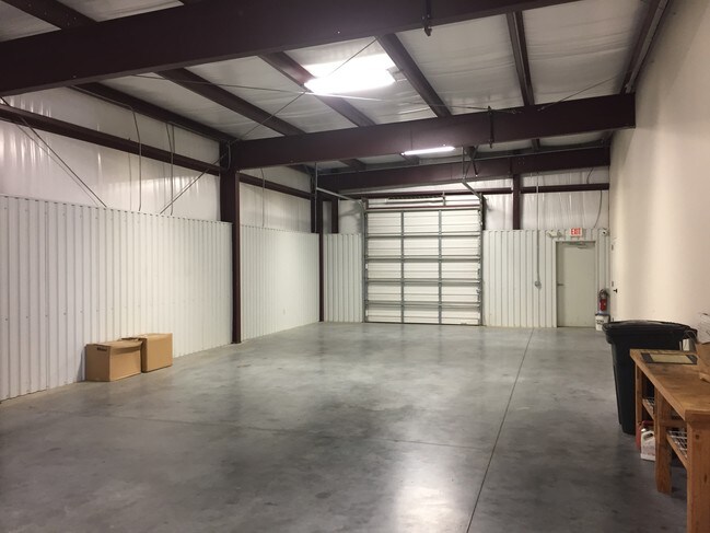
Property Detail
2270 E Main St
6151829
TR 3 SEC 34 T10S R5E (1 AC)(165.42X256.83X191.57X236.57) (14-5803 & 14-19878 PLATS)
Commercialnec
Lafayette
B and X Area of moderate flood hazard, usually the area between the limits of the 100-year and 500-year floods.
Louisiana
2025
1 AC
2025
Outlying Lafayette Parish
001100
Lafayette
10,000 SF
Lafayette, LA
NEARBY LISTINGS FOR SALE OR LEASE
DEMOGRAPHICS near 2270 E Main St
1 mile
3 mile
5 mile
2025 Total Population
2,259
18,856
55,935
2030 Population
2,397
19,725
58,470
Pop Growth 2025-2030
+ 6.11%
+ 4.61%
+ 4.53%
Average Age
39
38
38
2025 Total Households
929
7,282
21,607
HH Growth 2025-2030
+ 6.35%
+ 4.70%
+ 4.68%
Median Household Inc
$49,999
$76,265
$78,570
Avg Household Size
2.40
2.50
2.50
2025 Avg HH Vehicles
1.00
2.00
2.00
Median Home Value
$352,112
$276,310
$282,076
Median Year Built
2004
2003
2002
Nearby Places
Map Layers
Map Styles
 Street
 Aerial
Transit
 Traffic
 Biking
Places
Listings with unknown addresses are not visible on the map
- Restaurants
- Banks
- Shops
- Fitness
- Groceries
PUBLIC TRANSPORTATION
COMMUTER RAIL
Drive
Walk
Distance
13 min
8.2 mi
AIRPORT
Lafayette Regional/Paul Fournet Field
Drive
Walk
Distance
Lafayette Regional/Paul Fournet Field
12 min
7.3 mi
SALE & LEASE HISTORY
LISTING DATE
SALE/LEASE

Mar 19, 2019
For Sale
Mar 19, 2019
For Sale
Nearby Properties
Address
Land Use
TOTAL SIZE
Lot Size
Zoning
Address
Land Use
TOTAL SIZE
Lot Size
Zoning
426,080 SF
35.76 AC
Address
Land Use
TOTAL SIZE
Lot Size
Zoning
1,760 SF
13.87 AC
Address
Land Use
TOTAL SIZE
Lot Size
Zoning
Address
Land Use
TOTAL SIZE
Lot Size
Zoning
200,194 SF
30.80 AC
Address
Land Use
TOTAL SIZE
Lot Size
Zoning
9.02 AC
Address
Land Use
TOTAL SIZE
Lot Size
Zoning
5,625 SF
25.86 AC
Address
Land Use
TOTAL SIZE
Lot Size
Zoning
141,600 SF
24.31 AC
Address
Land Use
TOTAL SIZE
Lot Size
Zoning
7,020 SF
222.16 AC
Address
Land Use
TOTAL SIZE
Lot Size
Zoning
25,886 SF
8.39 AC
Address
Land Use
TOTAL SIZE
Lot Size
Zoning
22,489 SF
6.52 AC
Address
Land Use
TOTAL SIZE
Lot Size
Zoning
50,093 SF
1.87 AC
Address
Land Use
TOTAL SIZE
Lot Size
Zoning
283,435 SF
39.25 AC
Address
Land Use
TOTAL SIZE
Lot Size
Zoning
4,800 SF
17.84 AC
Address
Land Use
TOTAL SIZE
Lot Size
Zoning
106,776 SF
17.43 AC
Address
Land Use
TOTAL SIZE
Lot Size
Zoning
84,500 SF
15 AC
Address
Land Use
TOTAL SIZE
Lot Size
Zoning
63,154 SF
6.20 AC
Address
Land Use
TOTAL SIZE
Lot Size
Zoning
5,000 SF
3.33 AC
Address
Land Use
TOTAL SIZE
Lot Size
Zoning
81,000 SF
20.01 AC
Address
Land Use
TOTAL SIZE
Lot Size
Zoning
23,450 SF
9.30 AC
Address
Land Use
TOTAL SIZE
Lot Size
Zoning
11.89 AC
Address
Land Use
TOTAL SIZE
Lot Size
Zoning
14.66 AC
Address
Land Use
TOTAL SIZE
Lot Size
Zoning
54,916 SF
3.81 AC
Address
Land Use
TOTAL SIZE
Lot Size
Zoning
52,080 SF
1.78 AC
Address
Land Use
TOTAL SIZE
Lot Size
Zoning
49,700 SF
5.50 AC
Address
Land Use
TOTAL SIZE
Lot Size
Zoning
18,592 SF
12.53 AC
Address
Land Use
TOTAL SIZE
Lot Size
Zoning
20,800 SF
7.10 AC
Address
Land Use
TOTAL SIZE
Lot Size
Zoning
75,393 SF
20.03 AC
Address
Land Use
TOTAL SIZE
Lot Size
Zoning
90,030 SF
16.63 AC
Address
Land Use
TOTAL SIZE
Lot Size
Zoning
55,500 SF
10 AC
Address
Land Use
TOTAL SIZE
Lot Size
Zoning
1,616 SF
4.23 AC
The World's #1 Commercial Real Estate Marketplace
Connect with us
© 2026 CoStar Group
The information above has been obtained from sources believed reliable. While we do not doubt its accuracy we have not verified it and make no guarantee, warranty or representation about it. It is your responsibility to independently confirm its accuracy and completeness. Any projections, opinions, assumptions, or estimates used are for example only and do not represent the current or future performance of the property. The value of this transaction to you depends on tax and other factors which should be evaluated by your tax, financial, and legal advisors. You and your advisors should conduct a careful, independent investigation of the property to determine to your satisfaction the suitability of the property for your needs.