Property Record
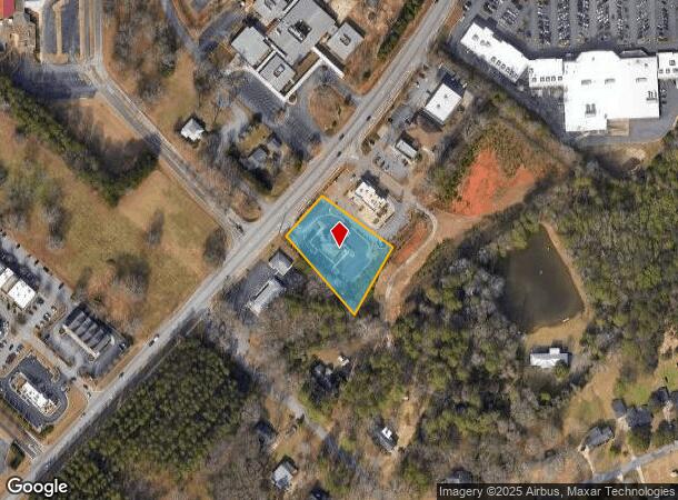
2273 Hog Mountain Rd, Watkinsville, GA 30677


NEARBY LISTINGS FOR SALE OR LEASE
Property Detail
2273 Hog Mountain Rd
Athens-Clarke County, GA
Stonebridge Business Partners, Llc
B06-0-21F
1409/484 2017/64
Financialbuilding
Oconee
X
Georgia
13219C0130E
1a
2025
1.01 AC
2024
Athens/Gainesville
030401
Other Market Areas
3,086 SF
DEMOGRAPHICS near 2273 Hog Mountain Rd
1 Mile
3 Mile
5 Mile
2024 Total Population
1,928
15,637
42,904
2029 Population
2,144
17,515
46,464
Pop Growth 2024-2029
+ 11.20%
+ 12.01%
+ 8.30%
Average Age
40
39
39
2024 Total Households
670
5,414
16,086
HH Growth 2024-2029
+ 11.34%
+ 12.04%
+ 7.72%
Median Household Inc
$96,106
$102,917
$85,846
Avg Household Size
2.90
2.90
2.60
2024 Avg HH Vehicles
2.00
2.00
2.00
Median Home Value
$311,481
$354,890
$353,105
Median Year Built
1989
1992
1994
Nearby Places
Map Layers
Map Styles
 Street
 Aerial
- Restaurants
- Banks
- Shops
- Fitness
- Groceries
SALE & LEASE HISTORY
LISTING DATE
SALE/LEASE

Sep 24, 2016
For Sale
Nearby Properties
Address
Land Use
TOTAL SIZE
Lot Size
Zoning
Address
Land Use
TOTAL SIZE
Lot Size
Zoning
20,748 SF
80.77 AC
AG
Address
Land Use
TOTAL SIZE
Lot Size
Zoning
107,030 SF
34.62 AC
AR
Address
Land Use
TOTAL SIZE
Lot Size
Zoning
70,000 SF
5.40 AC
O-B-P
Address
Land Use
TOTAL SIZE
Lot Size
Zoning
90,670 SF
11.86 AC
B-2
Address
Land Use
TOTAL SIZE
Lot Size
Zoning
12,483 SF
8.13 AC
Address
Land Use
TOTAL SIZE
Lot Size
Zoning
68,931 SF
5.56 AC
O-B-P
Address
Land Use
TOTAL SIZE
Lot Size
Zoning
29,376 SF
197.43 AC
AG
Address
Land Use
TOTAL SIZE
Lot Size
Zoning
5,216 SF
12.81 AC
R-3
Address
Land Use
TOTAL SIZE
Lot Size
Zoning
29,032 SF
14 AC
AG
Address
Land Use
TOTAL SIZE
Lot Size
Zoning
76,360 SF
10.25 AC
B-1
Address
Land Use
TOTAL SIZE
Lot Size
Zoning
37,572 SF
0.43 AC
O-B-P
Address
Land Use
TOTAL SIZE
Lot Size
Zoning
78,525 SF
15.81 AC
Address
Land Use
TOTAL SIZE
Lot Size
Zoning
57,735 SF
35 AC
AG
Address
Land Use
TOTAL SIZE
Lot Size
Zoning
37,572 SF
0.43 AC
O-B-P
Address
Land Use
TOTAL SIZE
Lot Size
Zoning
25,519 SF
7.63 AC
OIP
Address
Land Use
TOTAL SIZE
Lot Size
Zoning
45,945 SF
2.27 AC
OIP
Address
Land Use
TOTAL SIZE
Lot Size
Zoning
Address
Land Use
TOTAL SIZE
Lot Size
Zoning
62,635 SF
6.30 AC
O-B-P
Address
Land Use
TOTAL SIZE
Lot Size
Zoning
5,880 SF
17.18 AC
AG
Address
Land Use
TOTAL SIZE
Lot Size
Zoning
60,596 SF
15 AC
001
Address
Land Use
TOTAL SIZE
Lot Size
Zoning
101,830 SF
12.68 AC
B-2
Address
Land Use
TOTAL SIZE
Lot Size
Zoning
4,000 SF
253.45 AC
AG
Address
Land Use
TOTAL SIZE
Lot Size
Zoning
3,600 SF
3.28 AC
B-2
Address
Land Use
TOTAL SIZE
Lot Size
Zoning
18,962 SF
0.43 AC
O-B-P
Address
Land Use
TOTAL SIZE
Lot Size
Zoning
61.15 AC
AG
Address
Land Use
TOTAL SIZE
Lot Size
Zoning
6,894 SF
1.47 AC
O-I-P
Address
Land Use
TOTAL SIZE
Lot Size
Zoning
58,862 SF
1.15 AC
Address
Land Use
TOTAL SIZE
Lot Size
Zoning
Address
Land Use
TOTAL SIZE
Lot Size
Zoning
20,504 SF
9.96 AC
O-B-P
Address
Land Use
TOTAL SIZE
Lot Size
Zoning
14,746 SF
2.50 AC
001
The World's #1 Commercial Real Estate Marketplace
Connect with us
© 2025 CoStar Group
The information above has been obtained from sources believed reliable. While we do not doubt its accuracy we have not verified it and make no guarantee, warranty or representation about it. It is your responsibility to independently confirm its accuracy and completeness. Any projections, opinions, assumptions, or estimates used are for example only and do not represent the current or future performance of the property. The value of this transaction to you depends on tax and other factors which should be evaluated by your tax, financial, and legal advisors. You and your advisors should conduct a careful, independent investigation of the property to determine to your satisfaction the suitability of the property for your needs.