Property Record
229 Lowland St, Holliston, MA 01746


NEARBY LISTINGS FOR SALE OR LEASE
Property Detail
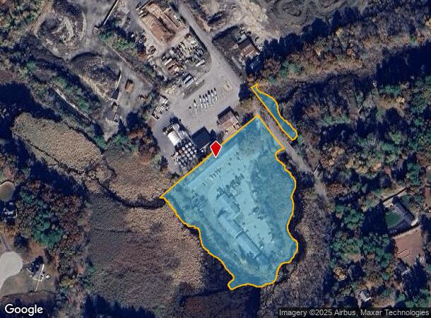
229 Lowland St
HOLL-000009-000003-000070
Middlesex
Industrialgeneral
Massachusetts
AE
70
25017C0633F
6.20 AC
2025
Hopkinton/Holliston
2025
Boston
387100
Boston-Cambridge-Newton, MA-NH
26,136 SF
DEMOGRAPHICS near 229 Lowland St
1 Mile
3 Mile
5 Mile
2024 Total Population
2,942
22,122
83,979
2029 Population
2,912
22,014
83,653
Pop Growth 2024-2029
(1.02%)
(0.49%)
(0.39%)
Average Age
41
42
40
2024 Total Households
1,060
7,981
30,589
HH Growth 2024-2029
(1.23%)
(0.61%)
(0.47%)
Median Household Inc
$144,589
$147,053
$123,422
Avg Household Size
2.70
2.70
2.70
2024 Avg HH Vehicles
2.00
2.00
2.00
Median Home Value
$606,412
$619,570
$581,130
Median Year Built
1963
1972
1973
Nearby Places
Map Layers
Map Styles
 Street
 Aerial
- Restaurants
- Banks
- Shops
- Fitness
- Groceries
PUBLIC TRANSPORTATION
COMMUTER RAIL
Framingham Amtrak (Lake Shore Limited - Amtrak)
DRIVE
WALK
Distance
Framingham Amtrak (Lake Shore Limited - Amtrak)
12 min
5.6 mi
Framingham (Framingham/Worcester Line - Massachusetts Bay Transportation Authority Commuter Rail (Purple Line))
DRIVE
WALK
Distance
Framingham (Framingham/Worcester Line - Massachusetts Bay Transportation Authority Commuter Rail (Purple Line))
11 min
5.7 mi
AIRPORT
General Edward Lawrence Logan International
DRIVE
WALK
Distance
General Edward Lawrence Logan International
49 min
27.9 mi
Worcester Regional
DRIVE
WALK
Distance
Worcester Regional
53 min
29.3 mi
Freight Ports
Port of Boston
DRIVE
WALK
Distance
Port of Boston
47 min
26.2 mi
Nearby Properties
Address
Land Use
TOTAL SIZE
Lot Size
Zoning
Address
Land Use
TOTAL SIZE
Lot Size
Zoning
75,224 SF
4.05 AC
I
Address
Land Use
TOTAL SIZE
Lot Size
Zoning
169,461 SF
32.30 AC
40
Address
Land Use
TOTAL SIZE
Lot Size
Zoning
237,660 SF
20.98 AC
I
Address
Land Use
TOTAL SIZE
Lot Size
Zoning
71,500 SF
3.40 AC
30
Address
Land Use
TOTAL SIZE
Lot Size
Zoning
351,209 SF
42.16 AC
I
Address
Land Use
TOTAL SIZE
Lot Size
Zoning
99,368 SF
10.07 AC
30
Address
Land Use
TOTAL SIZE
Lot Size
Zoning
44,235 SF
69.50 AC
40
Address
Land Use
TOTAL SIZE
Lot Size
Zoning
44,772 SF
4.02 AC
I
Address
Land Use
TOTAL SIZE
Lot Size
Zoning
109.15 AC
AR-I
Address
Land Use
TOTAL SIZE
Lot Size
Zoning
84,000 SF
15.46 AC
I
Address
Land Use
TOTAL SIZE
Lot Size
Zoning
113,516 SF
7.94 AC
I
Address
Land Use
TOTAL SIZE
Lot Size
Zoning
78,935 SF
7.34 AC
I
Address
Land Use
TOTAL SIZE
Lot Size
Zoning
80,372 SF
16.69 AC
I
Address
Land Use
TOTAL SIZE
Lot Size
Zoning
81,255 SF
12.30 AC
I
Address
Land Use
TOTAL SIZE
Lot Size
Zoning
91,200 SF
36.71 AC
I
Address
Land Use
TOTAL SIZE
Lot Size
Zoning
237.78 AC
RC
Address
Land Use
TOTAL SIZE
Lot Size
Zoning
66,258 SF
3.72 AC
OT
Address
Land Use
TOTAL SIZE
Lot Size
Zoning
44,880 SF
5.48 AC
40
Address
Land Use
TOTAL SIZE
Lot Size
Zoning
75,000 SF
4.56 AC
30
Address
Land Use
TOTAL SIZE
Lot Size
Zoning
18,954 SF
0.52 AC
40
Address
Land Use
TOTAL SIZE
Lot Size
Zoning
49,149 SF
2.45 AC
40
Address
Land Use
TOTAL SIZE
Lot Size
Zoning
65,876 SF
4.41 AC
I
Address
Land Use
TOTAL SIZE
Lot Size
Zoning
4,646 SF
118 AC
Address
Land Use
TOTAL SIZE
Lot Size
Zoning
24,568 SF
8 AC
AR-I
Address
Land Use
TOTAL SIZE
Lot Size
Zoning
47,700 SF
4.48 AC
40
Address
Land Use
TOTAL SIZE
Lot Size
Zoning
20,000 SF
9.80 AC
C
Address
Land Use
TOTAL SIZE
Lot Size
Zoning
50,000 SF
5.46 AC
I
Address
Land Use
TOTAL SIZE
Lot Size
Zoning
50,000 SF
3.02 AC
30
Address
Land Use
TOTAL SIZE
Lot Size
Zoning
6,815 SF
0.20 AC
VC
Address
Land Use
TOTAL SIZE
Lot Size
Zoning
32,692 SF
4.49 AC
OT
The World's #1 Commercial Real Estate Marketplace
Connect with us
© 2025 CoStar Group
The information above has been obtained from sources believed reliable. While we do not doubt its accuracy we have not verified it and make no guarantee, warranty or representation about it. It is your responsibility to independently confirm its accuracy and completeness. Any projections, opinions, assumptions, or estimates used are for example only and do not represent the current or future performance of the property. The value of this transaction to you depends on tax and other factors which should be evaluated by your tax, financial, and legal advisors. You and your advisors should conduct a careful, independent investigation of the property to determine to your satisfaction the suitability of the property for your needs.