Property Record
2290 Bridgepointe Pky, Foster City, CA 94404

NEARBY LISTINGS FOR SALE OR LEASE
Property Detail
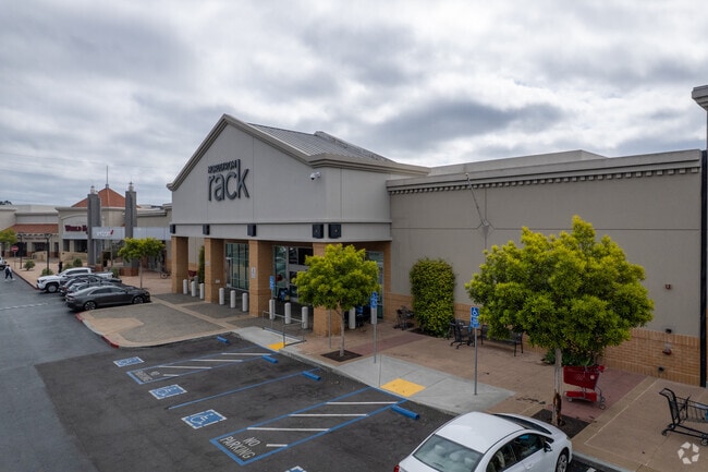
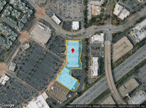
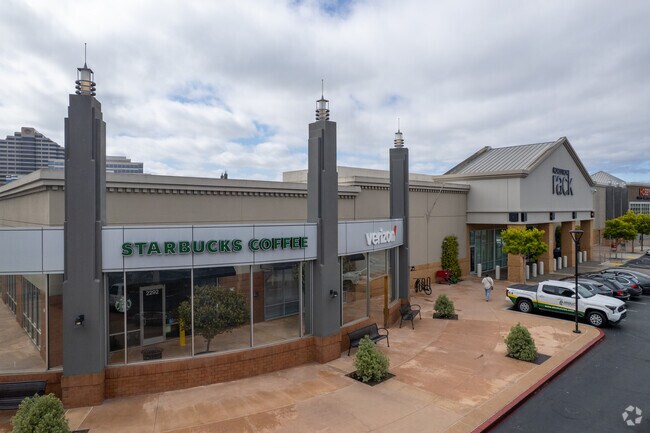
2290 Bridgepointe Pky
San Francisco-Redwood City-South San Francisco, CA
Bridgepointe - San Mateo
035-466-090
LOT 13 BRIDGEPOINTE - SAN MATEO RSM 127/81-85
Regionalshoppingcenterormallwithanchorstore
San Mateo
X
California
06081C0167G
13
2024
2.78 AC
2025
San Mateo
607900
San Francisco
89,929 SF
DEMOGRAPHICS near 2290 Bridgepointe Pky
1 Mile
3 Mile
5 Mile
2024 Total Population
19,323
139,654
225,330
2029 Population
18,608
133,295
215,240
Pop Growth 2024-2029
(3.70%)
(4.55%)
(4.48%)
Average Age
42
41
41
2024 Total Households
7,858
52,758
86,068
HH Growth 2024-2029
(3.92%)
(4.75%)
(4.67%)
Median Household Inc
$152,535
$147,750
$156,259
Avg Household Size
2.40
2.60
2.50
2024 Avg HH Vehicles
2.00
2.00
2.00
Median Home Value
$1,101,642
$1,121,610
$1,127,123
Median Year Built
1976
1971
1969
Nearby Places
Map Layers
Map Styles
 Street
 Aerial
- Restaurants
- Banks
- Shops
- Fitness
- Groceries
PUBLIC TRANSPORTATION
COMMUTER RAIL
DRIVE
WALK
Distance
4 min
2.1 mi
Hayward Park (Caltrain - Caltrain (Caltrain))
DRIVE
WALK
Distance
Hayward Park (Caltrain - Caltrain (Caltrain))
4 min
2.1 mi
AIRPORT
San Francisco International
DRIVE
WALK
Distance
San Francisco International
14 min
9.2 mi
Metro Oakland International
DRIVE
WALK
Distance
Metro Oakland International
30 min
23.2 mi
Norman Y Mineta San Jose International
DRIVE
WALK
Distance
Norman Y Mineta San Jose International
34 min
26.8 mi
Freight Ports
Port of Redwood City
DRIVE
WALK
Distance
Port of Redwood City
15 min
9.6 mi
Nearby Properties
Address
Land Use
TOTAL SIZE
Lot Size
Zoning
Address
Land Use
TOTAL SIZE
Lot Size
Zoning
1,068,445 SF
39.82 AC
Address
Land Use
TOTAL SIZE
Lot Size
Zoning
239,107 SF
2.37 AC
Address
Land Use
TOTAL SIZE
Lot Size
Zoning
354,800 SF
6 AC
Address
Land Use
TOTAL SIZE
Lot Size
Zoning
738,000 SF
56.46 AC
TP0000
Address
Land Use
TOTAL SIZE
Lot Size
Zoning
215,318 SF
3.42 AC
Address
Land Use
TOTAL SIZE
Lot Size
Zoning
568,423 SF
16.07 AC
Address
Land Use
TOTAL SIZE
Lot Size
Zoning
311,952 SF
3.68 AC
Address
Land Use
TOTAL SIZE
Lot Size
Zoning
399,422 SF
5.94 AC
Address
Land Use
TOTAL SIZE
Lot Size
Zoning
260,547 SF
2.23 AC
Address
Land Use
TOTAL SIZE
Lot Size
Zoning
397,793 SF
10.48 AC
CL00C1
Address
Land Use
TOTAL SIZE
Lot Size
Zoning
295,000 SF
4.02 AC
Address
Land Use
TOTAL SIZE
Lot Size
Zoning
400,000 SF
4.39 AC
C10000
Address
Land Use
TOTAL SIZE
Lot Size
Zoning
417,200 SF
29.07 AC
R300PD
Address
Land Use
TOTAL SIZE
Lot Size
Zoning
219,318 SF
4.77 AC
Address
Land Use
TOTAL SIZE
Lot Size
Zoning
2,020 SF
2.64 AC
Address
Land Use
TOTAL SIZE
Lot Size
Zoning
2,024 SF
2.07 AC
Address
Land Use
TOTAL SIZE
Lot Size
Zoning
326,432 SF
10.27 AC
CL0C21
Address
Land Use
TOTAL SIZE
Lot Size
Zoning
245,260 SF
9.08 AC
Address
Land Use
TOTAL SIZE
Lot Size
Zoning
218,249 SF
2.15 AC
Address
Land Use
TOTAL SIZE
Lot Size
Zoning
150,806 SF
5.86 AC
Address
Land Use
TOTAL SIZE
Lot Size
Zoning
177,000 SF
6.24 AC
Address
Land Use
TOTAL SIZE
Lot Size
Zoning
1,849 SF
4.72 AC
CB0000
Address
Land Use
TOTAL SIZE
Lot Size
Zoning
395,010 SF
15.11 AC
R003S3
Address
Land Use
TOTAL SIZE
Lot Size
Zoning
Address
Land Use
TOTAL SIZE
Lot Size
Zoning
12,944 SF
12.37 AC
Address
Land Use
TOTAL SIZE
Lot Size
Zoning
0.93 AC
CL00C2
Address
Land Use
TOTAL SIZE
Lot Size
Zoning
196,504 SF
1.98 AC
Address
Land Use
TOTAL SIZE
Lot Size
Zoning
192,054 SF
4.54 AC
Address
Land Use
TOTAL SIZE
Lot Size
Zoning
12.14 AC
Address
Land Use
TOTAL SIZE
Lot Size
Zoning
233,788 SF
3.35 AC
The World's #1 Commercial Real Estate Marketplace
Connect with us
© 2026 CoStar Group
The information above has been obtained from sources believed reliable. While we do not doubt its accuracy we have not verified it and make no guarantee, warranty or representation about it. It is your responsibility to independently confirm its accuracy and completeness. Any projections, opinions, assumptions, or estimates used are for example only and do not represent the current or future performance of the property. The value of this transaction to you depends on tax and other factors which should be evaluated by your tax, financial, and legal advisors. You and your advisors should conduct a careful, independent investigation of the property to determine to your satisfaction the suitability of the property for your needs.