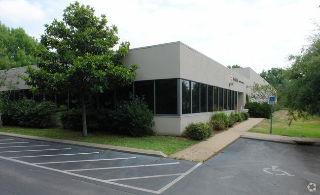
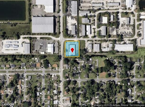
Property Record
2290 W Airport Blvd, Sanford, FL 32771

NEARBY LISTINGS FOR SALE OR LEASE
Property Detail
2290 W Airport Blvd
Orlando-Kissimmee-Sanford, FL
Sanford Commerce Park
35-19-30-524-0000-0240
LOT 24 SANFORD COMMERCE PARK PB 31 PG 67
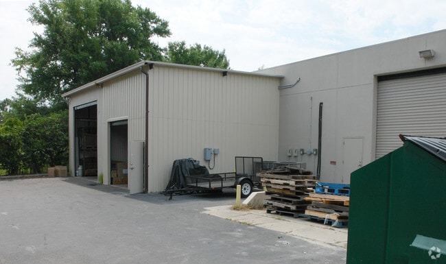
Lightindustrial
Seminole
X
Florida
12069C0450E
24
2024
1.05 AC
2024
Seminole County
020402
Orlando
11,680 SF
DEMOGRAPHICS near 2290 W Airport Blvd
1 Mile
3 Mile
5 Mile
2024 Total Population
5,571
70,652
131,193
2029 Population
5,885
74,102
137,660
Pop Growth 2024-2029
+ 5.64%
+ 4.88%
+ 4.93%
Average Age
39
38
39
2024 Total Households
1,941
27,435
49,954
HH Growth 2024-2029
+ 5.62%
+ 4.98%
+ 5.07%
Median Household Inc
$53,644
$57,577
$68,403
Avg Household Size
2.60
2.50
2.50
2024 Avg HH Vehicles
2.00
2.00
2.00
Median Home Value
$159,482
$250,887
$301,068
Median Year Built
1981
1991
1995
Nearby Places
- Restaurants
- Banks
- Shops
- Fitness
- Groceries
PUBLIC TRANSPORTATION
COMMUTER RAIL
DRIVE
WALK
Distance
5 min
1.5 mi
DRIVE
WALK
Distance
6 min
1.9 mi
AIRPORT
Orlando Sanford International
DRIVE
WALK
Distance
Orlando Sanford International
13 min
5.4 mi
Orlando International
DRIVE
WALK
Distance
Orlando International
43 min
34.1 mi
Daytona Beach International
DRIVE
WALK
Distance
Daytona Beach International
45 min
35.0 mi
Freight Ports
Port Canaveral
DRIVE
WALK
Distance
Port Canaveral
80 min
67.1 mi
Nearby Properties
Address
Land Use
TOTAL SIZE
Lot Size
Zoning
Address
Land Use
TOTAL SIZE
Lot Size
Zoning
1,225 SF
17 AC
Address
Land Use
TOTAL SIZE
Lot Size
Zoning
1,096 SF
22.55 AC
PUD
Address
Land Use
TOTAL SIZE
Lot Size
Zoning
1,992 SF
4.76 AC
A1
Address
Land Use
TOTAL SIZE
Lot Size
Zoning
36.94 AC
A1
Address
Land Use
TOTAL SIZE
Lot Size
Zoning
425,407 SF
19.88 AC
Address
Land Use
TOTAL SIZE
Lot Size
Zoning
2,181 SF
4.92 AC
A1
Address
Land Use
TOTAL SIZE
Lot Size
Zoning
0.93 AC
A1
Address
Land Use
TOTAL SIZE
Lot Size
Zoning
312 SF
10.47 AC
Address
Land Use
TOTAL SIZE
Lot Size
Zoning
311,881 SF
10.52 AC
PCD
Address
Land Use
TOTAL SIZE
Lot Size
Zoning
23,184 SF
31.05 AC
PUD
Address
Land Use
TOTAL SIZE
Lot Size
Zoning
250 SF
14.29 AC
RMOI
Address
Land Use
TOTAL SIZE
Lot Size
Zoning
24,382 SF
18.45 AC
A1
Address
Land Use
TOTAL SIZE
Lot Size
Zoning
3,668 SF
3.12 AC
C1
Address
Land Use
TOTAL SIZE
Lot Size
Zoning
269,490 SF
24.57 AC
PD
Address
Land Use
TOTAL SIZE
Lot Size
Zoning
938 SF
9.46 AC
SC3
Address
Land Use
TOTAL SIZE
Lot Size
Zoning
492,285 SF
19.58 AC
PD
Address
Land Use
TOTAL SIZE
Lot Size
Zoning
209,950 SF
20.42 AC
RMOI
Address
Land Use
TOTAL SIZE
Lot Size
Zoning
140,141 SF
6.73 AC
Address
Land Use
TOTAL SIZE
Lot Size
Zoning
245,806 SF
24.93 AC
RMOI
Address
Land Use
TOTAL SIZE
Lot Size
Zoning
1,001 SF
12.02 AC
MR3
Address
Land Use
TOTAL SIZE
Lot Size
Zoning
864 SF
9.99 AC
A1
Address
Land Use
TOTAL SIZE
Lot Size
Zoning
410,197 SF
0.75 AC
PUD
Address
Land Use
TOTAL SIZE
Lot Size
Zoning
209,424 SF
12.93 AC
MR2
Address
Land Use
TOTAL SIZE
Lot Size
Zoning
362,876 SF
22.06 AC
MR3
Address
Land Use
TOTAL SIZE
Lot Size
Zoning
110,024 SF
29.58 AC
PD
Address
Land Use
TOTAL SIZE
Lot Size
Zoning
216,071 SF
77 AC
A1
Address
Land Use
TOTAL SIZE
Lot Size
Zoning
365,961 SF
18.41 AC
MR3
Address
Land Use
TOTAL SIZE
Lot Size
Zoning
500,116 SF
38.12 AC
PD
Address
Land Use
TOTAL SIZE
Lot Size
Zoning
428,525 SF
20.81 AC
A1
Address
Land Use
TOTAL SIZE
Lot Size
Zoning
211,011 SF
25.54 AC
PD
The World's #1 Commercial Real Estate Marketplace
Connect with us
© 2025 CoStar Group
The information above has been obtained from sources believed reliable. While we do not doubt its accuracy we have not verified it and make no guarantee, warranty or representation about it. It is your responsibility to independently confirm its accuracy and completeness. Any projections, opinions, assumptions, or estimates used are for example only and do not represent the current or future performance of the property. The value of this transaction to you depends on tax and other factors which should be evaluated by your tax, financial, and legal advisors. You and your advisors should conduct a careful, independent investigation of the property to determine to your satisfaction the suitability of the property for your needs.