Property Record
2300 Patterson Rd, Riverbank, CA 95367

Property Detail
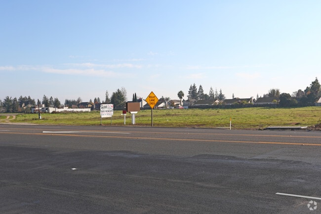
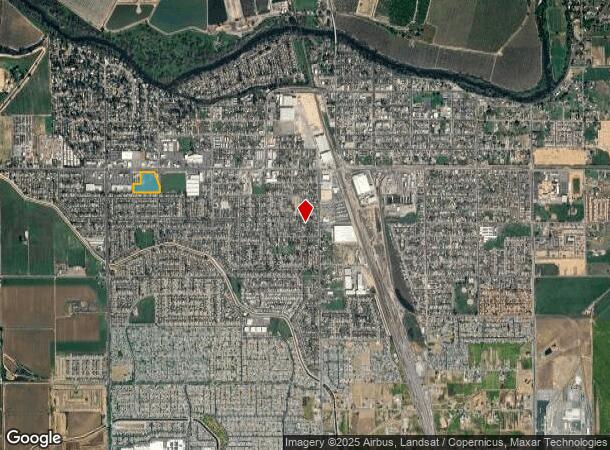
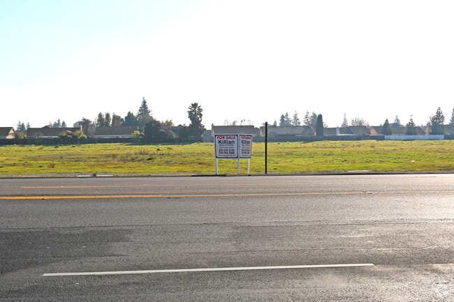
2300 Patterson Rd
Modesto, CA
STANISLAUS
075-11-33
California
Commercialacreage
10
B and X Area of moderate flood hazard, usually the area between the limits of the 100-year and 500-year floods.
5.80 AC
2025
Modesto
2025
Stockton/Modesto
000303
NEARBY LISTINGS FOR SALE OR LEASE
DEMOGRAPHICS near 2300 Patterson Rd
1 mile
3 mile
5 mile
2025 Total Population
12,980
36,068
133,940
2030 Population
13,057
36,380
135,163
Pop Growth 2025-2030
+ 0.59%
+ 0.87%
+ 0.91%
Average Age
37
38
39
2025 Total Households
3,915
11,218
45,354
HH Growth 2025-2030
+ 0.61%
+ 0.87%
+ 0.90%
Median Household Inc
$96,829
$98,278
$91,716
Avg Household Size
3.30
3.20
2.90
2025 Avg HH Vehicles
2.00
2.00
2.00
Median Home Value
$491,049
$497,883
$483,473
Median Year Built
1993
1992
1982
Nearby Places
Map Layers
Map Styles
 Street
 Aerial
Layers
 Traffic
 Biking
Places
Listings with unknown addresses are not visible on the map
- Restaurants
- Banks
- Shops
- Fitness
- Groceries
PUBLIC TRANSPORTATION
AIRPORT
Stockton Metro
Drive
Walk
Distance
Stockton Metro
39 min
27.5 mi
Freight Ports
Port of Stockton
Drive
Walk
Distance
Port of Stockton
48 min
35.9 mi
SALE & LEASE HISTORY
LISTING DATE
SALE/LEASE

Mar 26, 2021
For Sale
Dec 22, 2016
For Sale
Nearby Properties
Address
Land Use
TOTAL SIZE
Lot Size
Zoning
Address
Land Use
TOTAL SIZE
Lot Size
Zoning
15.68 AC
RIVPD
Address
Land Use
TOTAL SIZE
Lot Size
Zoning
186,665 SF
10.22 AC
Address
Land Use
TOTAL SIZE
Lot Size
Zoning
123,575 SF
10 AC
PC
Address
Land Use
TOTAL SIZE
Lot Size
Zoning
60,156 SF
16.20 AC
Address
Land Use
TOTAL SIZE
Lot Size
Zoning
72,338 SF
5.98 AC
RIVC1
Address
Land Use
TOTAL SIZE
Lot Size
Zoning
140,669 SF
10.96 AC
PC
Address
Land Use
TOTAL SIZE
Lot Size
Zoning
77,578 SF
7.93 AC
Address
Land Use
TOTAL SIZE
Lot Size
Zoning
56,265 SF
4.94 AC
MODPD
Address
Land Use
TOTAL SIZE
Lot Size
Zoning
117,959 SF
5.06 AC
MODSP
Address
Land Use
TOTAL SIZE
Lot Size
Zoning
83,987 SF
4.59 AC
RIVR3
Address
Land Use
TOTAL SIZE
Lot Size
Zoning
88,274 SF
6.32 AC
PC
Address
Land Use
TOTAL SIZE
Lot Size
Zoning
28,560 SF
9.62 AC
Address
Land Use
TOTAL SIZE
Lot Size
Zoning
85,218 SF
3.51 AC
Address
Land Use
TOTAL SIZE
Lot Size
Zoning
57,760 SF
4.89 AC
PC
Address
Land Use
TOTAL SIZE
Lot Size
Zoning
465,061 SF
26.66 AC
CERM1
Address
Land Use
TOTAL SIZE
Lot Size
Zoning
2,201 SF
0.61 AC
Address
Land Use
TOTAL SIZE
Lot Size
Zoning
369.73 AC
Address
Land Use
TOTAL SIZE
Lot Size
Zoning
201,657 SF
8.53 AC
Address
Land Use
TOTAL SIZE
Lot Size
Zoning
42,000 SF
2.84 AC
Address
Land Use
TOTAL SIZE
Lot Size
Zoning
20,623 SF
18.05 AC
Address
Land Use
TOTAL SIZE
Lot Size
Zoning
71,339 SF
4.26 AC
R3
Address
Land Use
TOTAL SIZE
Lot Size
Zoning
148,750 SF
11.88 AC
Address
Land Use
TOTAL SIZE
Lot Size
Zoning
1,620 SF
299.40 AC
A240
Address
Land Use
TOTAL SIZE
Lot Size
Zoning
124,025 SF
7.51 AC
Address
Land Use
TOTAL SIZE
Lot Size
Zoning
68,680 SF
3.35 AC
Address
Land Use
TOTAL SIZE
Lot Size
Zoning
12,040 SF
1.35 AC
PC
Address
Land Use
TOTAL SIZE
Lot Size
Zoning
153,738 SF
9.58 AC
Address
Land Use
TOTAL SIZE
Lot Size
Zoning
2,584 SF
306.61 AC
A240
Address
Land Use
TOTAL SIZE
Lot Size
Zoning
804 SF
96.04 AC
A210UT
Address
Land Use
TOTAL SIZE
Lot Size
Zoning
17,000 SF
1.18 AC
C2
The World's #1 Commercial Real Estate Marketplace
Connect with us
© 2026 CoStar Group
The information above has been obtained from sources believed reliable. While we do not doubt its accuracy we have not verified it and make no guarantee, warranty or representation about it. It is your responsibility to independently confirm its accuracy and completeness. Any projections, opinions, assumptions, or estimates used are for example only and do not represent the current or future performance of the property. The value of this transaction to you depends on tax and other factors which should be evaluated by your tax, financial, and legal advisors. You and your advisors should conduct a careful, independent investigation of the property to determine to your satisfaction the suitability of the property for your needs.