Property Record
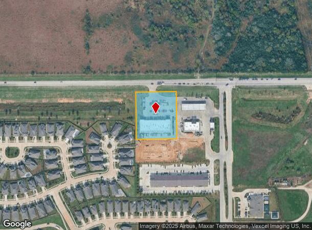
23015 Fm 529 Rd, Katy, TX 77493


NEARBY LISTINGS FOR SALE OR LEASE
Property Detail
23015 Fm 529 Rd
Houston-The Woodlands-Sugar Land, TX
Landmark At Peek Reserve
1399100010003
RES A1-A LANDMARK AT PEEK RESERVE
Stripcommercialcenter
Harris
2024
Texas
2025
1.95 AC
542902
Far Katy North
15,048 SF
Houston
DEMOGRAPHICS near 23015 Fm 529 Rd
1 Mile
3 Mile
5 Mile
2024 Total Population
4,062
38,931
185,990
2029 Population
4,447
41,879
193,839
Pop Growth 2024-2029
+ 9.48%
+ 7.57%
+ 4.22%
Average Age
32
32
33
2024 Total Households
1,203
11,451
54,145
HH Growth 2024-2029
+ 9.48%
+ 7.55%
+ 4.22%
Median Household Inc
$113,254
$100,906
$95,830
Avg Household Size
3.30
3.40
3.40
2024 Avg HH Vehicles
2.00
2.00
2.00
Median Home Value
$294,139
$260,184
$246,992
Median Year Built
2011
2011
2010
Nearby Places
Map Layers
Map Styles
 Street
 Aerial
- Restaurants
- Banks
- Shops
- Fitness
- Groceries
PUBLIC TRANSPORTATION
AIRPORT
George Bush Intcntl/Houston
DRIVE
WALK
Distance
George Bush Intcntl/Houston
47 min
32.0 mi
Freight Ports
Port of Houston
DRIVE
WALK
Distance
Port of Houston
57 min
38.2 mi
SALE & LEASE HISTORY
LISTING DATE
SALE/LEASE

Sep 24, 2025
For Lease
Nov 01, 2022
For Lease
May 13, 2019
For Lease
Jun 06, 2025
For Sale
Nearby Properties
Address
Land Use
TOTAL SIZE
Lot Size
Zoning
Address
Land Use
TOTAL SIZE
Lot Size
Zoning
851,991 SF
229.30 AC
Address
Land Use
TOTAL SIZE
Lot Size
Zoning
838,700 SF
36.68 AC
Address
Land Use
TOTAL SIZE
Lot Size
Zoning
292,645 SF
12.71 AC
Address
Land Use
TOTAL SIZE
Lot Size
Zoning
267,766 SF
12.96 AC
Address
Land Use
TOTAL SIZE
Lot Size
Zoning
147,923 SF
11.60 AC
Address
Land Use
TOTAL SIZE
Lot Size
Zoning
191,575 SF
17.98 AC
Address
Land Use
TOTAL SIZE
Lot Size
Zoning
122,880 SF
15 AC
Address
Land Use
TOTAL SIZE
Lot Size
Zoning
99,096 SF
27.51 AC
Address
Land Use
TOTAL SIZE
Lot Size
Zoning
67,250 SF
7.37 AC
Address
Land Use
TOTAL SIZE
Lot Size
Zoning
2,939 SF
330.19 AC
Address
Land Use
TOTAL SIZE
Lot Size
Zoning
84.23 AC
Address
Land Use
TOTAL SIZE
Lot Size
Zoning
277.23 AC
Address
Land Use
TOTAL SIZE
Lot Size
Zoning
57,453 SF
6.74 AC
Address
Land Use
TOTAL SIZE
Lot Size
Zoning
105,500 SF
5.49 AC
Address
Land Use
TOTAL SIZE
Lot Size
Zoning
156.37 AC
Address
Land Use
TOTAL SIZE
Lot Size
Zoning
11,431 SF
4.60 AC
Address
Land Use
TOTAL SIZE
Lot Size
Zoning
136.37 AC
Address
Land Use
TOTAL SIZE
Lot Size
Zoning
22,620 SF
7.55 AC
Address
Land Use
TOTAL SIZE
Lot Size
Zoning
168.70 AC
Address
Land Use
TOTAL SIZE
Lot Size
Zoning
329,931 SF
209.45 AC
Address
Land Use
TOTAL SIZE
Lot Size
Zoning
12.01 AC
Address
Land Use
TOTAL SIZE
Lot Size
Zoning
103,147 SF
7 AC
Address
Land Use
TOTAL SIZE
Lot Size
Zoning
41.98 AC
Address
Land Use
TOTAL SIZE
Lot Size
Zoning
33,700 SF
5.78 AC
Address
Land Use
TOTAL SIZE
Lot Size
Zoning
15.29 AC
Address
Land Use
TOTAL SIZE
Lot Size
Zoning
176.82 AC
Address
Land Use
TOTAL SIZE
Lot Size
Zoning
55,000 SF
5.37 AC
Address
Land Use
TOTAL SIZE
Lot Size
Zoning
26,840 SF
5.89 AC
Address
Land Use
TOTAL SIZE
Lot Size
Zoning
130.15 AC
Address
Land Use
TOTAL SIZE
Lot Size
Zoning
149.26 AC
The World's #1 Commercial Real Estate Marketplace
Connect with us
© 2025 CoStar Group
The information above has been obtained from sources believed reliable. While we do not doubt its accuracy we have not verified it and make no guarantee, warranty or representation about it. It is your responsibility to independently confirm its accuracy and completeness. Any projections, opinions, assumptions, or estimates used are for example only and do not represent the current or future performance of the property. The value of this transaction to you depends on tax and other factors which should be evaluated by your tax, financial, and legal advisors. You and your advisors should conduct a careful, independent investigation of the property to determine to your satisfaction the suitability of the property for your needs.