Property Record
2316 Cherry Rd, Rock Hill, SC 29732
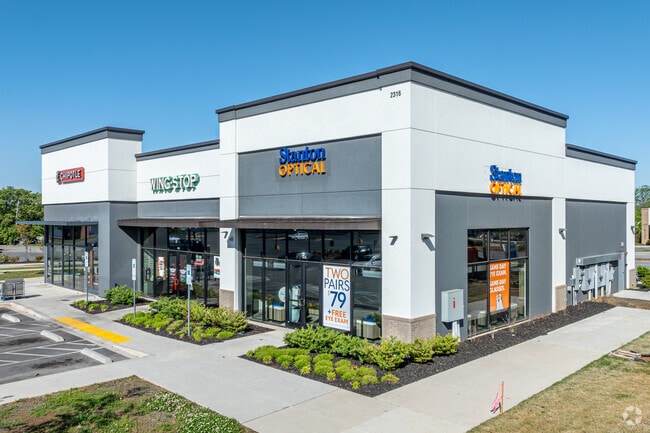


Property Detail
2316 Cherry Rd
Charlotte-Concord-Gastonia, NC-SC
LOT# 1 (1.4744AC) CHERRY RD
6340701068
YORK
Commercialnec
South Carolina
B and X Area of moderate flood hazard, usually the area between the limits of the 100-year and 500-year floods.
1
2025
1.47 AC
2025
York County
060700
Charlotte
4,200 SF
NEARBY LISTINGS FOR SALE OR LEASE
DEMOGRAPHICS near 2316 Cherry Rd
1 mile
3 mile
5 mile
2025 Total Population
8,447
49,393
119,204
2030 Population
8,871
51,815
125,701
Pop Growth 2025-2030
+ 5.02%
+ 4.90%
+ 5.45%
Average Age
37
39
39
2025 Total Households
3,716
19,958
46,916
HH Growth 2025-2030
+ 5.03%
+ 4.99%
+ 5.54%
Median Household Inc
$56,625
$68,777
$73,177
Avg Household Size
2.30
2.30
2.40
2025 Avg HH Vehicles
2.00
2.00
2.00
Median Home Value
$287,567
$348,842
$372,141
Median Year Built
1992
1993
1996
Nearby Places
Map Layers
Map Styles
 Street
 Aerial
Layers
 Traffic
 Biking
Places
Listings with unknown addresses are not visible on the map
- Restaurants
- Banks
- Shops
- Fitness
- Groceries
PUBLIC TRANSPORTATION
AIRPORT
Charlotte/Douglas International
Drive
Walk
Distance
Charlotte/Douglas International
33 min
20.0 mi
Freight Ports
North Charleston Terminal
Drive
Walk
Distance
North Charleston Terminal
201 min
179.9 mi
Nearby Properties
Address
Land Use
TOTAL SIZE
Lot Size
Zoning
Address
Land Use
TOTAL SIZE
Lot Size
Zoning
28,104 SF
11.84 AC
NMU
Address
Land Use
TOTAL SIZE
Lot Size
Zoning
18,192 SF
17.98 AC
MF15
Address
Land Use
TOTAL SIZE
Lot Size
Zoning
13,486 SF
14.27 AC
GC
Address
Land Use
TOTAL SIZE
Lot Size
Zoning
13,556 SF
10.86 AC
MF15
Address
Land Use
TOTAL SIZE
Lot Size
Zoning
216,000 SF
23.16 AC
Address
Land Use
TOTAL SIZE
Lot Size
Zoning
215.20 AC
UD
Address
Land Use
TOTAL SIZE
Lot Size
Zoning
10,448 SF
12.95 AC
PUD
Address
Land Use
TOTAL SIZE
Lot Size
Zoning
8,512 SF
7.73 AC
MF15
Address
Land Use
TOTAL SIZE
Lot Size
Zoning
24,164 SF
9.50 AC
GC
Address
Land Use
TOTAL SIZE
Lot Size
Zoning
64,338 SF
0.83 AC
Address
Land Use
TOTAL SIZE
Lot Size
Zoning
108,597 SF
14.55 AC
Address
Land Use
TOTAL SIZE
Lot Size
Zoning
498,580 SF
51.95 AC
Address
Land Use
TOTAL SIZE
Lot Size
Zoning
28,660 SF
19.95 AC
OI
Address
Land Use
TOTAL SIZE
Lot Size
Zoning
40,532 SF
9.96 AC
SF5
Address
Land Use
TOTAL SIZE
Lot Size
Zoning
163,085 SF
6.84 AC
Address
Land Use
TOTAL SIZE
Lot Size
Zoning
598,425 SF
102 AC
ID
Address
Land Use
TOTAL SIZE
Lot Size
Zoning
68,486 SF
8.88 AC
IG
Address
Land Use
TOTAL SIZE
Lot Size
Zoning
28,569 SF
0.39 AC
Address
Land Use
TOTAL SIZE
Lot Size
Zoning
Address
Land Use
TOTAL SIZE
Lot Size
Zoning
18,990 SF
0.23 AC
Address
Land Use
TOTAL SIZE
Lot Size
Zoning
131,716 SF
13.89 AC
Address
Land Use
TOTAL SIZE
Lot Size
Zoning
45.20 AC
Address
Land Use
TOTAL SIZE
Lot Size
Zoning
29,196 SF
28.01 AC
Address
Land Use
TOTAL SIZE
Lot Size
Zoning
113,490 SF
7 AC
Address
Land Use
TOTAL SIZE
Lot Size
Zoning
57,670 SF
6.48 AC
IG
Address
Land Use
TOTAL SIZE
Lot Size
Zoning
16,872 SF
19.80 AC
PUD
Address
Land Use
TOTAL SIZE
Lot Size
Zoning
19,426 SF
16.39 AC
PUD
Address
Land Use
TOTAL SIZE
Lot Size
Zoning
57,420 SF
4.72 AC
IG
Address
Land Use
TOTAL SIZE
Lot Size
Zoning
219,972 SF
29.74 AC
IG
Address
Land Use
TOTAL SIZE
Lot Size
Zoning
40,060 SF
4.01 AC
IG
The World's #1 Commercial Real Estate Marketplace
Connect with us
© 2026 CoStar Group
The information above has been obtained from sources believed reliable. While we do not doubt its accuracy we have not verified it and make no guarantee, warranty or representation about it. It is your responsibility to independently confirm its accuracy and completeness. Any projections, opinions, assumptions, or estimates used are for example only and do not represent the current or future performance of the property. The value of this transaction to you depends on tax and other factors which should be evaluated by your tax, financial, and legal advisors. You and your advisors should conduct a careful, independent investigation of the property to determine to your satisfaction the suitability of the property for your needs.