Property Record
2302 Route 37 E, Toms River, NJ 08753

Property Detail
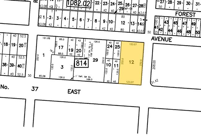
2302 Route 37 E
08-00815-0000-00041
4.18AC
Commercialnec
Ocean
HB
New Jersey
B and X Area of moderate flood hazard, usually the area between the limits of the 100-year and 500-year floods.
41
2025
4.18 AC
2025
Ocean County
722702
Northern New Jersey
5,624 SF
Lakewood-New Brunswick, NJ
NEARBY LISTINGS FOR SALE OR LEASE
DEMOGRAPHICS near 2302 Route 37 E
1 mile
3 mile
5 mile
2025 Total Population
10,599
53,169
133,702
2030 Population
10,994
55,038
140,420
Pop Growth 2025-2030
+ 3.73%
+ 3.52%
+ 5.02%
Average Age
40
41
42
2025 Total Households
4,049
19,836
52,112
HH Growth 2025-2030
+ 3.19%
+ 3.28%
+ 5.43%
Median Household Inc
$93,702
$101,040
$95,074
Avg Household Size
2.50
2.60
2.40
2025 Avg HH Vehicles
2.00
2.00
2.00
Median Home Value
$368,448
$412,882
$443,348
Median Year Built
1970
1973
1975
Nearby Places
Map Layers
Map Styles
 Street
 Aerial
Layers
 Traffic
 Biking
Places
Listings with unknown addresses are not visible on the map
- Restaurants
- Banks
- Shops
- Fitness
- Groceries
Nearby Properties
Address
Land Use
TOTAL SIZE
Lot Size
Zoning
Address
Land Use
TOTAL SIZE
Lot Size
Zoning
8,118 SF
72.32 AC
R75
Address
Land Use
TOTAL SIZE
Lot Size
Zoning
8,968 SF
26.36 AC
RMF
Address
Land Use
TOTAL SIZE
Lot Size
Zoning
57,008 SF
8.85 AC
SPLT
Address
Land Use
TOTAL SIZE
Lot Size
Zoning
15.68 AC
MF8
Address
Land Use
TOTAL SIZE
Lot Size
Zoning
71,285 SF
20.49 AC
HB
Address
Land Use
TOTAL SIZE
Lot Size
Zoning
1,680 SF
14.33 AC
HB
Address
Land Use
TOTAL SIZE
Lot Size
Zoning
8.82 AC
O15
Address
Land Use
TOTAL SIZE
Lot Size
Zoning
103,750 SF
24.23 AC
R120
Address
Land Use
TOTAL SIZE
Lot Size
Zoning
33.59 AC
R90
Address
Land Use
TOTAL SIZE
Lot Size
Zoning
0.97 AC
RB
Address
Land Use
TOTAL SIZE
Lot Size
Zoning
23.28 AC
R75
Address
Land Use
TOTAL SIZE
Lot Size
Zoning
22.29 AC
HB
Address
Land Use
TOTAL SIZE
Lot Size
Zoning
3,524 SF
10 AC
HB
Address
Land Use
TOTAL SIZE
Lot Size
Zoning
20,271 SF
0.96 AC
PUB
Address
Land Use
TOTAL SIZE
Lot Size
Zoning
3,588 SF
6.81 AC
EM10
Address
Land Use
TOTAL SIZE
Lot Size
Zoning
36,168 SF
9.52 AC
HB
Address
Land Use
TOTAL SIZE
Lot Size
Zoning
54,648 SF
8.04 AC
HB
Address
Land Use
TOTAL SIZE
Lot Size
Zoning
88,355 SF
5.27 AC
HB
Address
Land Use
TOTAL SIZE
Lot Size
Zoning
2,792 SF
13.72 AC
R100
Address
Land Use
TOTAL SIZE
Lot Size
Zoning
59,100 SF
11.56 AC
HB
Address
Land Use
TOTAL SIZE
Lot Size
Zoning
1.36 AC
PUB
Address
Land Use
TOTAL SIZE
Lot Size
Zoning
61,176 SF
9.31 AC
HB
Address
Land Use
TOTAL SIZE
Lot Size
Zoning
10.02 AC
O15
Address
Land Use
TOTAL SIZE
Lot Size
Zoning
1,740 SF
38.81 AC
HB
Address
Land Use
TOTAL SIZE
Lot Size
Zoning
69,798 SF
6.92 AC
R200
Address
Land Use
TOTAL SIZE
Lot Size
Zoning
4.80 AC
HB
Address
Land Use
TOTAL SIZE
Lot Size
Zoning
53,255 SF
6.36 AC
SPLT
Address
Land Use
TOTAL SIZE
Lot Size
Zoning
5,780 SF
26.19 AC
SPLT
Address
Land Use
TOTAL SIZE
Lot Size
Zoning
33,014 SF
6.69 AC
SPLT
Address
Land Use
TOTAL SIZE
Lot Size
Zoning
79,200 SF
8.93 AC
RMF
The World's #1 Commercial Real Estate Marketplace
Connect with us
© 2026 CoStar Group
The information above has been obtained from sources believed reliable. While we do not doubt its accuracy we have not verified it and make no guarantee, warranty or representation about it. It is your responsibility to independently confirm its accuracy and completeness. Any projections, opinions, assumptions, or estimates used are for example only and do not represent the current or future performance of the property. The value of this transaction to you depends on tax and other factors which should be evaluated by your tax, financial, and legal advisors. You and your advisors should conduct a careful, independent investigation of the property to determine to your satisfaction the suitability of the property for your needs.