Property Record
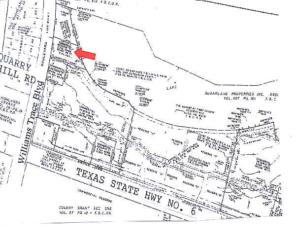
2303 Williams Trace Blvd, Sugar Land, TX 77478


Property Detail
2303 Williams Trace Blvd
4749-00-000-0160-907
THE MARKET AT FIRST COLONY, ACRES .739, COMMERCIAL RESERVE P-1
Commercialnec
Fort Bend
J
Texas
A Areas with a 1% annual chance of flooding and a 26% chance of flooding over the life of a 30-year mortgage.
0.74 AC
2024
Stafford
2025
Houston
671601
Houston-Pasadena-The Woodlands, TX
5,720 SF
NEARBY LISTINGS FOR SALE OR LEASE
DEMOGRAPHICS near 2303 Williams Trace Blvd
1 mile
3 mile
5 mile
2025 Total Population
16,381
96,674
256,497
2030 Population
18,393
108,763
287,993
Pop Growth 2025-2030
+ 12.28%
+ 12.50%
+ 12.28%
Average Age
42
42
41
2025 Total Households
6,490
34,644
88,476
HH Growth 2025-2030
+ 12.79%
+ 12.95%
+ 12.73%
Median Household Inc
$97,026
$109,879
$105,014
Avg Household Size
2.50
2.70
2.90
2025 Avg HH Vehicles
2.00
2.00
2.00
Median Home Value
$352,728
$435,407
$386,394
Median Year Built
1986
1993
1995
Nearby Places
Map Layers
Map Styles
 Street
 Aerial
Layers
 Traffic
 Biking
Places
Listings with unknown addresses are not visible on the map
- Restaurants
- Banks
- Shops
- Fitness
- Groceries
PUBLIC TRANSPORTATION
AIRPORT
William P Hobby
Drive
Walk
Distance
William P Hobby
41 min
27.4 mi
George Bush Intcntl/Houston
Drive
Walk
Distance
George Bush Intcntl/Houston
52 min
41.7 mi
Freight Ports
Port of Houston
Drive
Walk
Distance
Port of Houston
43 min
26.9 mi
Nearby Properties
Address
Land Use
TOTAL SIZE
Lot Size
Zoning
Address
Land Use
TOTAL SIZE
Lot Size
Zoning
448,502 SF
35.66 AC
Address
Land Use
TOTAL SIZE
Lot Size
Zoning
171,425 SF
29.96 AC
Address
Land Use
TOTAL SIZE
Lot Size
Zoning
221,618 SF
6.50 AC
Address
Land Use
TOTAL SIZE
Lot Size
Zoning
198,085 SF
9.79 AC
Address
Land Use
TOTAL SIZE
Lot Size
Zoning
109,083 SF
20.81 AC
Address
Land Use
TOTAL SIZE
Lot Size
Zoning
378,797 SF
10.97 AC
Address
Land Use
TOTAL SIZE
Lot Size
Zoning
Address
Land Use
TOTAL SIZE
Lot Size
Zoning
77,850 SF
8.53 AC
YQZ
Address
Land Use
TOTAL SIZE
Lot Size
Zoning
85,273 SF
11.63 AC
Y
Address
Land Use
TOTAL SIZE
Lot Size
Zoning
14,038 SF
23.83 AC
Address
Land Use
TOTAL SIZE
Lot Size
Zoning
171,800 SF
11.92 AC
Address
Land Use
TOTAL SIZE
Lot Size
Zoning
129,813 SF
8.53 AC
Address
Land Use
TOTAL SIZE
Lot Size
Zoning
127,458 SF
14.21 AC
Address
Land Use
TOTAL SIZE
Lot Size
Zoning
88,682 SF
10.52 AC
ASY
Address
Land Use
TOTAL SIZE
Lot Size
Zoning
149,261 SF
12.15 AC
SJ
Address
Land Use
TOTAL SIZE
Lot Size
Zoning
154,586 SF
10.93 AC
SY
Address
Land Use
TOTAL SIZE
Lot Size
Zoning
254,210 SF
10.59 AC
JT
Address
Land Use
TOTAL SIZE
Lot Size
Zoning
49,976 SF
0.79 AC
X
Address
Land Use
TOTAL SIZE
Lot Size
Zoning
310,144 SF
7.19 AC
Address
Land Use
TOTAL SIZE
Lot Size
Zoning
194,593 SF
2.29 AC
X
Address
Land Use
TOTAL SIZE
Lot Size
Zoning
19.55 AC
S
Address
Land Use
TOTAL SIZE
Lot Size
Zoning
259,117 SF
6.28 AC
YS
Address
Land Use
TOTAL SIZE
Lot Size
Zoning
218,755 SF
19.69 AC
MQY
Address
Land Use
TOTAL SIZE
Lot Size
Zoning
190,152 SF
13.17 AC
I
Address
Land Use
TOTAL SIZE
Lot Size
Zoning
88,560 SF
10.25 AC
QZ
Address
Land Use
TOTAL SIZE
Lot Size
Zoning
23.49 AC
SMN
Address
Land Use
TOTAL SIZE
Lot Size
Zoning
172,513 SF
10.26 AC
Y
Address
Land Use
TOTAL SIZE
Lot Size
Zoning
699,266 SF
53.01 AC
Address
Land Use
TOTAL SIZE
Lot Size
Zoning
53,533 SF
10.98 AC
Address
Land Use
TOTAL SIZE
Lot Size
Zoning
637,364 SF
11.57 AC
YQ
The World's #1 Commercial Real Estate Marketplace
Connect with us
© 2026 CoStar Group
The information above has been obtained from sources believed reliable. While we do not doubt its accuracy we have not verified it and make no guarantee, warranty or representation about it. It is your responsibility to independently confirm its accuracy and completeness. Any projections, opinions, assumptions, or estimates used are for example only and do not represent the current or future performance of the property. The value of this transaction to you depends on tax and other factors which should be evaluated by your tax, financial, and legal advisors. You and your advisors should conduct a careful, independent investigation of the property to determine to your satisfaction the suitability of the property for your needs.