Property Record
232 N Central Ave, Duluth, MN 55807


NEARBY LISTINGS FOR SALE OR LEASE
Property Detail
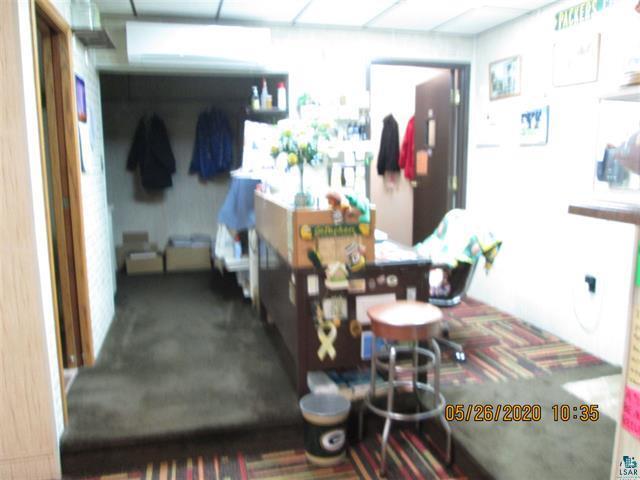
232 N Central Ave
Duluth, MN-WI
West Duluth 1St Div
010447002880
St Louis
Sfr
Minnesota
X
0.14 AC
27137C3856E
West End
6,225 SF
Duluth
DEMOGRAPHICS near 232 N Central Ave
1 Mile
3 Mile
5 Mile
2024 Total Population
5,919
24,530
59,587
2029 Population
5,776
24,024
58,829
Pop Growth 2024-2029
(2.42%)
(2.06%)
(1.27%)
Average Age
40
40
40
2024 Total Households
2,661
10,687
26,660
HH Growth 2024-2029
(2.59%)
(2.25%)
(1.31%)
Median Household Inc
$50,710
$57,037
$51,184
Avg Household Size
2.10
2.20
2.10
2024 Avg HH Vehicles
2.00
2.00
2.00
Median Home Value
$147,463
$159,889
$171,307
Median Year Built
1946
1948
1953
Nearby Places
Map Layers
Map Styles
 Street
 Aerial
- Restaurants
- Banks
- Shops
- Fitness
- Groceries
PUBLIC TRANSPORTATION
AIRPORT
Duluth International
DRIVE
WALK
Distance
Duluth International
24 min
10.4 mi
SALE & LEASE HISTORY
LISTING DATE
SALE/LEASE

May 28, 2020
For Sale
Jul 10, 2018
For Sale
Jan 17, 2017
For Sale
Jan 02, 2020
For Sale
Dec 21, 2016
For Lease
Dec 09, 2020
For Sale
Aug 15, 2019
For Sale
Nearby Properties
Address
Land Use
TOTAL SIZE
Lot Size
Zoning
Address
Land Use
TOTAL SIZE
Lot Size
Zoning
328,704 SF
3.81 AC
Address
Land Use
TOTAL SIZE
Lot Size
Zoning
391,335 SF
53.53 AC
Address
Land Use
TOTAL SIZE
Lot Size
Zoning
175 AC
W1
Address
Land Use
TOTAL SIZE
Lot Size
Zoning
93,584 SF
0.66 AC
Address
Land Use
TOTAL SIZE
Lot Size
Zoning
87,768 SF
2.42 AC
Address
Land Use
TOTAL SIZE
Lot Size
Zoning
107,796 SF
9.19 AC
Address
Land Use
TOTAL SIZE
Lot Size
Zoning
68,296 SF
0.38 AC
Address
Land Use
TOTAL SIZE
Lot Size
Zoning
1,200 SF
10.74 AC
Address
Land Use
TOTAL SIZE
Lot Size
Zoning
28.37 AC
W1
Address
Land Use
TOTAL SIZE
Lot Size
Zoning
71,967 SF
0.16 AC
Address
Land Use
TOTAL SIZE
Lot Size
Zoning
24,389 SF
1.68 AC
Address
Land Use
TOTAL SIZE
Lot Size
Zoning
52.06 AC
M2
Address
Land Use
TOTAL SIZE
Lot Size
Zoning
557,127 SF
37 AC
Address
Land Use
TOTAL SIZE
Lot Size
Zoning
185,313 SF
Address
Land Use
TOTAL SIZE
Lot Size
Zoning
73,973 SF
2.84 AC
Address
Land Use
TOTAL SIZE
Lot Size
Zoning
96,000 SF
1.35 AC
Address
Land Use
TOTAL SIZE
Lot Size
Zoning
169,373 SF
6.54 AC
Address
Land Use
TOTAL SIZE
Lot Size
Zoning
6.01 AC
M2
Address
Land Use
TOTAL SIZE
Lot Size
Zoning
20.01 AC
Address
Land Use
TOTAL SIZE
Lot Size
Zoning
17,638 SF
5.37 AC
Address
Land Use
TOTAL SIZE
Lot Size
Zoning
24,555 SF
1.14 AC
Address
Land Use
TOTAL SIZE
Lot Size
Zoning
71,291 SF
0.61 AC
TND
Address
Land Use
TOTAL SIZE
Lot Size
Zoning
3.42 AC
R3
Address
Land Use
TOTAL SIZE
Lot Size
Zoning
7.05 AC
M2
Address
Land Use
TOTAL SIZE
Lot Size
Zoning
50,096 SF
5.99 AC
Address
Land Use
TOTAL SIZE
Lot Size
Zoning
4.47 AC
Address
Land Use
TOTAL SIZE
Lot Size
Zoning
83,290 SF
0.58 AC
C2
Address
Land Use
TOTAL SIZE
Lot Size
Zoning
85,162 SF
1.78 AC
Address
Land Use
TOTAL SIZE
Lot Size
Zoning
65,380 SF
The World's #1 Commercial Real Estate Marketplace
Connect with us
© 2025 CoStar Group
The information above has been obtained from sources believed reliable. While we do not doubt its accuracy we have not verified it and make no guarantee, warranty or representation about it. It is your responsibility to independently confirm its accuracy and completeness. Any projections, opinions, assumptions, or estimates used are for example only and do not represent the current or future performance of the property. The value of this transaction to you depends on tax and other factors which should be evaluated by your tax, financial, and legal advisors. You and your advisors should conduct a careful, independent investigation of the property to determine to your satisfaction the suitability of the property for your needs.