Property Record
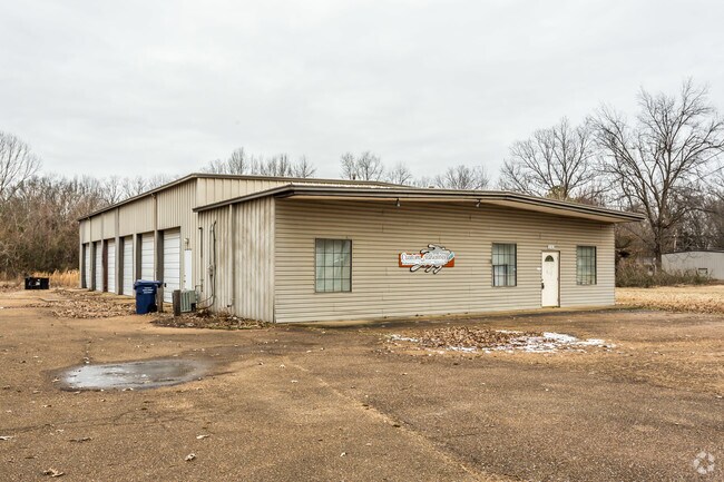
232 Pearson St, Batesville, MS 38606


Property Detail
232 Pearson St
3183Q0000100-250000200
1.5 AC PT LOT 2 - BLK 25 - ORIGINAL TOWN OF BATESVILLE DB A9/630
Commercialnec
Panola
B and X Area of moderate flood hazard, usually the area between the limits of the 100-year and 500-year floods.
Mississippi
2025
2
2025
1.50 AC
950602
Other Market Areas
5,000 SF
NEARBY LISTINGS FOR SALE OR LEASE
-
-
View all Batesville listings for sale on LoopNet.com
DEMOGRAPHICS near 232 Pearson St
1 mile
3 mile
5 mile
2025 Total Population
3,613
7,615
10,508
2030 Population
3,554
7,456
10,337
Pop Growth 2025-2030
(1.63%)
(2.09%)
(1.63%)
Average Age
36
38
38
2025 Total Households
1,326
2,808
3,878
HH Growth 2025-2030
(1.73%)
(2.17%)
(1.70%)
Median Household Inc
$31,503
$38,691
$47,981
Avg Household Size
2.60
2.60
2.60
2025 Avg HH Vehicles
2.00
2.00
2.00
Median Home Value
$85,960
$145,315
$146,695
Median Year Built
1981
1981
1982
Nearby Places
Map Layers
Map Styles
 Street
 Aerial
Layers
 Traffic
 Biking
Places
Listings with unknown addresses are not visible on the map
- Restaurants
- Banks
- Shops
- Fitness
- Groceries
SALE & LEASE HISTORY
LISTING DATE
SALE/LEASE

Sep 24, 2016
For Sale
Jan 24, 2018
For Sale
Nearby Properties
Address
Land Use
TOTAL SIZE
Lot Size
Zoning
Address
Land Use
TOTAL SIZE
Lot Size
Zoning
138,838 SF
14.30 AC
Address
Land Use
TOTAL SIZE
Lot Size
Zoning
119,834 SF
23.70 AC
Address
Land Use
TOTAL SIZE
Lot Size
Zoning
108,001 SF
13.10 AC
Address
Land Use
TOTAL SIZE
Lot Size
Zoning
Address
Land Use
TOTAL SIZE
Lot Size
Zoning
5,901 SF
7 AC
Address
Land Use
TOTAL SIZE
Lot Size
Zoning
2.20 AC
Address
Land Use
TOTAL SIZE
Lot Size
Zoning
49,248 SF
2.40 AC
Address
Land Use
TOTAL SIZE
Lot Size
Zoning
41,413 SF
2.80 AC
Address
Land Use
TOTAL SIZE
Lot Size
Zoning
20,172 SF
2.10 AC
Address
Land Use
TOTAL SIZE
Lot Size
Zoning
6,000 SF
8.60 AC
Address
Land Use
TOTAL SIZE
Lot Size
Zoning
50,486 SF
3 AC
Address
Land Use
TOTAL SIZE
Lot Size
Zoning
88,114 SF
10.30 AC
Address
Land Use
TOTAL SIZE
Lot Size
Zoning
29,333 SF
1.80 AC
Address
Land Use
TOTAL SIZE
Lot Size
Zoning
42,389 SF
12.70 AC
Address
Land Use
TOTAL SIZE
Lot Size
Zoning
15,086 SF
1.80 AC
Address
Land Use
TOTAL SIZE
Lot Size
Zoning
17,461 SF
1.80 AC
Address
Land Use
TOTAL SIZE
Lot Size
Zoning
27,603 SF
3.80 AC
Address
Land Use
TOTAL SIZE
Lot Size
Zoning
Address
Land Use
TOTAL SIZE
Lot Size
Zoning
5,725 SF
0.57 AC
Address
Land Use
TOTAL SIZE
Lot Size
Zoning
11,545 SF
2.60 AC
Address
Land Use
TOTAL SIZE
Lot Size
Zoning
6,031 SF
0.96 AC
Address
Land Use
TOTAL SIZE
Lot Size
Zoning
73,500 SF
2.70 AC
The World's #1 Commercial Real Estate Marketplace
Connect with us
© 2026 CoStar Group
The information above has been obtained from sources believed reliable. While we do not doubt its accuracy we have not verified it and make no guarantee, warranty or representation about it. It is your responsibility to independently confirm its accuracy and completeness. Any projections, opinions, assumptions, or estimates used are for example only and do not represent the current or future performance of the property. The value of this transaction to you depends on tax and other factors which should be evaluated by your tax, financial, and legal advisors. You and your advisors should conduct a careful, independent investigation of the property to determine to your satisfaction the suitability of the property for your needs.