Property Record
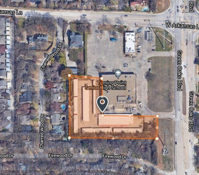
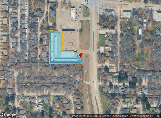
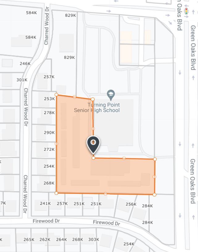
2330 W Green Oaks Blvd, Arlington, TX 76016
NEARBY LISTINGS FOR SALE OR LEASE
Property Detail
2330 W Green Oaks Blvd
Dallas-Fort Worth-Arlington, TX
Shady Oaks Gardens Subdivision
06471803
SHADY OAKS GARDENS SUBDIVISION BLOCK 4 LOT 4B1
Commercialnec
Tarrant
X
Texas
48439C0330K
4
2024
2.33 AC
2025
Arlington/Mansfield
121608
Dallas/Ft Worth
34,298 SF
DEMOGRAPHICS near 2330 W Green Oaks Blvd
1 Mile
3 Mile
5 Mile
2024 Total Population
9,153
76,893
284,929
2029 Population
9,590
80,681
300,818
Pop Growth 2024-2029
+ 4.77%
+ 4.93%
+ 5.58%
Average Age
44
40
38
2024 Total Households
3,543
28,693
105,172
HH Growth 2024-2029
+ 4.83%
+ 4.94%
+ 5.59%
Median Household Inc
$86,243
$73,583
$60,091
Avg Household Size
2.50
2.60
2.60
2024 Avg HH Vehicles
2.00
2.00
2.00
Median Home Value
$262,242
$250,318
$241,264
Median Year Built
1978
1979
1981
Nearby Places
Map Layers
Map Styles
 Street
 Aerial
- Restaurants
- Banks
- Shops
- Fitness
- Groceries
PUBLIC TRANSPORTATION
COMMUTER RAIL
Richland Hills (Trinity Railway Express - Dallas Area Rapid Transit (DART))
DRIVE
WALK
Distance
Richland Hills (Trinity Railway Express - Dallas Area Rapid Transit (DART))
16 min
9.8 mi
AIRPORT
Dallas-Fort Worth International
DRIVE
WALK
Distance
Dallas-Fort Worth International
34 min
22.2 mi
Dallas Love Field
DRIVE
WALK
Distance
Dallas Love Field
44 min
30.1 mi
Freight Ports
Port of Shreveport
DRIVE
WALK
Distance
Port of Shreveport
239 min
221.6 mi
Nearby Properties
Address
Land Use
TOTAL SIZE
Lot Size
Zoning
Address
Land Use
TOTAL SIZE
Lot Size
Zoning
569,312 SF
71.52 AC
Address
Land Use
TOTAL SIZE
Lot Size
Zoning
242,811 SF
13.60 AC
Address
Land Use
TOTAL SIZE
Lot Size
Zoning
163,000 SF
12.36 AC
Address
Land Use
TOTAL SIZE
Lot Size
Zoning
186,894 SF
10.85 AC
Address
Land Use
TOTAL SIZE
Lot Size
Zoning
213,824 SF
11.66 AC
Address
Land Use
TOTAL SIZE
Lot Size
Zoning
239,360 SF
17.55 AC
Address
Land Use
TOTAL SIZE
Lot Size
Zoning
204,094 SF
16.99 AC
Address
Land Use
TOTAL SIZE
Lot Size
Zoning
159,030 SF
10.32 AC
Address
Land Use
TOTAL SIZE
Lot Size
Zoning
190,755 SF
33.09 AC
Address
Land Use
TOTAL SIZE
Lot Size
Zoning
144,164 SF
9.31 AC
Address
Land Use
TOTAL SIZE
Lot Size
Zoning
189,675 SF
8.78 AC
Address
Land Use
TOTAL SIZE
Lot Size
Zoning
117,293 SF
6.98 AC
Address
Land Use
TOTAL SIZE
Lot Size
Zoning
101,320 SF
5.59 AC
Address
Land Use
TOTAL SIZE
Lot Size
Zoning
194,637 SF
13.75 AC
Address
Land Use
TOTAL SIZE
Lot Size
Zoning
4,825 SF
30.22 AC
Address
Land Use
TOTAL SIZE
Lot Size
Zoning
85,001 SF
29.35 AC
Address
Land Use
TOTAL SIZE
Lot Size
Zoning
110,684 SF
7 AC
Address
Land Use
TOTAL SIZE
Lot Size
Zoning
88,963 SF
4.42 AC
Address
Land Use
TOTAL SIZE
Lot Size
Zoning
86,013 SF
3.89 AC
Address
Land Use
TOTAL SIZE
Lot Size
Zoning
68,408 SF
11.23 AC
Address
Land Use
TOTAL SIZE
Lot Size
Zoning
143,600 SF
6.41 AC
Address
Land Use
TOTAL SIZE
Lot Size
Zoning
73,530 SF
7.26 AC
Address
Land Use
TOTAL SIZE
Lot Size
Zoning
106,400 SF
5.98 AC
Address
Land Use
TOTAL SIZE
Lot Size
Zoning
101,030 SF
10.11 AC
Address
Land Use
TOTAL SIZE
Lot Size
Zoning
54,362 SF
9.66 AC
Address
Land Use
TOTAL SIZE
Lot Size
Zoning
127,169 SF
9.28 AC
Address
Land Use
TOTAL SIZE
Lot Size
Zoning
210,939 SF
18.35 AC
Address
Land Use
TOTAL SIZE
Lot Size
Zoning
52,668 SF
9.78 AC
Address
Land Use
TOTAL SIZE
Lot Size
Zoning
1,250 SF
20 AC
Address
Land Use
TOTAL SIZE
Lot Size
Zoning
114,228 SF
2.84 AC
The World's #1 Commercial Real Estate Marketplace
Connect with us
© 2025 CoStar Group
The information above has been obtained from sources believed reliable. While we do not doubt its accuracy we have not verified it and make no guarantee, warranty or representation about it. It is your responsibility to independently confirm its accuracy and completeness. Any projections, opinions, assumptions, or estimates used are for example only and do not represent the current or future performance of the property. The value of this transaction to you depends on tax and other factors which should be evaluated by your tax, financial, and legal advisors. You and your advisors should conduct a careful, independent investigation of the property to determine to your satisfaction the suitability of the property for your needs.