Property Record
23688 Hansen Rd, Tracy, CA 95304
Property Detail
23688 Hansen Rd
209-460-19
REDRAWN DEC-11-2007 FROM ORIGINAL APN 209-130-46
Orchard
SAN JOAQUIN
AG40
California
B and X Area of moderate flood hazard, usually the area between the limits of the 100-year and 500-year floods.
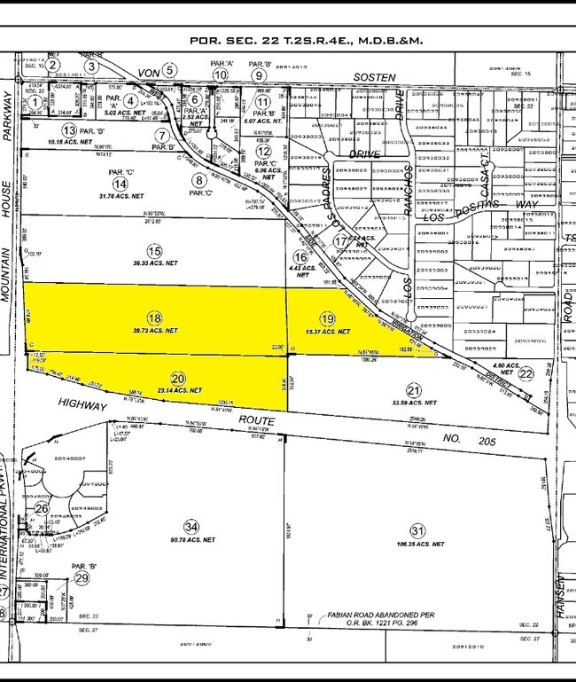
15.37 AC
2025
Tracy/Manteca
2025
Stockton/Modesto
005221
Stockton-Lodi, CA
NEARBY LISTINGS FOR SALE OR LEASE
DEMOGRAPHICS near 23688 Hansen Rd
1 mile
3 mile
5 mile
2025 Total Population
655
28,472
80,804
2030 Population
733
30,369
85,336
Pop Growth 2025-2030
+ 11.91%
+ 6.66%
+ 5.61%
Average Age
40
35
37
2025 Total Households
238
8,118
23,288
HH Growth 2025-2030
+ 12.18%
+ 6.82%
+ 5.67%
Median Household Inc
$138,970
$174,392
$146,896
Avg Household Size
2.80
3.50
3.40
2025 Avg HH Vehicles
3.00
2.00
3.00
Median Home Value
$806,666
$846,579
$788,021
Median Year Built
2010
2010
2004
Nearby Places
Map Layers
Map Styles
 Street
 Aerial
Transit
 Traffic
 Biking
Places
Listings with unknown addresses are not visible on the map
- Restaurants
- Banks
- Shops
- Fitness
- Groceries
PUBLIC TRANSPORTATION
COMMUTER RAIL
Tracy Station (ACE Train - Altamont Corridor Express)
Drive
Walk
Distance
Tracy Station (ACE Train - Altamont Corridor Express)
16 min
8.6 mi
AIRPORT
Stockton Metro
Drive
Walk
Distance
Stockton Metro
32 min
23.7 mi
Freight Ports
Port of Stockton
Drive
Walk
Distance
Port of Stockton
35 min
27.0 mi
Nearby Properties
Address
Land Use
TOTAL SIZE
Lot Size
Zoning
Address
Land Use
TOTAL SIZE
Lot Size
Zoning
641,000 SF
378.88 AC
Address
Land Use
TOTAL SIZE
Lot Size
Zoning
1,120,082 SF
94.93 AC
AG40
Address
Land Use
TOTAL SIZE
Lot Size
Zoning
663,568 SF
158.06 AC
Address
Land Use
TOTAL SIZE
Lot Size
Zoning
1,034,066 SF
61.05 AC
Address
Land Use
TOTAL SIZE
Lot Size
Zoning
653,447 SF
66.62 AC
IG
Address
Land Use
TOTAL SIZE
Lot Size
Zoning
188,789 SF
92.24 AC
Address
Land Use
TOTAL SIZE
Lot Size
Zoning
1,601 SF
17.08 AC
PUD1
Address
Land Use
TOTAL SIZE
Lot Size
Zoning
15.20 AC
RH
Address
Land Use
TOTAL SIZE
Lot Size
Zoning
202,577 SF
22.31 AC
IL
Address
Land Use
TOTAL SIZE
Lot Size
Zoning
483,967 SF
77.75 AC
Address
Land Use
TOTAL SIZE
Lot Size
Zoning
726,000 SF
32.29 AC
M1
Address
Land Use
TOTAL SIZE
Lot Size
Zoning
708,080 SF
83.08 AC
Address
Land Use
TOTAL SIZE
Lot Size
Zoning
403,560 SF
56.73 AC
Address
Land Use
TOTAL SIZE
Lot Size
Zoning
10.15 AC
PUD1
Address
Land Use
TOTAL SIZE
Lot Size
Zoning
490,000 SF
46 AC
IG
Address
Land Use
TOTAL SIZE
Lot Size
Zoning
9,327 SF
12.06 AC
Address
Land Use
TOTAL SIZE
Lot Size
Zoning
22,726 SF
8.96 AC
PUD1
Address
Land Use
TOTAL SIZE
Lot Size
Zoning
67.04 AC
AG40
Address
Land Use
TOTAL SIZE
Lot Size
Zoning
960 SF
31.71 AC
RL
Address
Land Use
TOTAL SIZE
Lot Size
Zoning
616,700 SF
31.66 AC
IG
Address
Land Use
TOTAL SIZE
Lot Size
Zoning
148,663 SF
16.37 AC
Address
Land Use
TOTAL SIZE
Lot Size
Zoning
190,388 SF
13.50 AC
Address
Land Use
TOTAL SIZE
Lot Size
Zoning
407,563 SF
18.64 AC
IL
Address
Land Use
TOTAL SIZE
Lot Size
Zoning
83.58 AC
IL
Address
Land Use
TOTAL SIZE
Lot Size
Zoning
103 AC
AG40
Address
Land Use
TOTAL SIZE
Lot Size
Zoning
127,018 SF
66.71 AC
IL
The World's #1 Commercial Real Estate Marketplace
Connect with us
© 2026 CoStar Group
The information above has been obtained from sources believed reliable. While we do not doubt its accuracy we have not verified it and make no guarantee, warranty or representation about it. It is your responsibility to independently confirm its accuracy and completeness. Any projections, opinions, assumptions, or estimates used are for example only and do not represent the current or future performance of the property. The value of this transaction to you depends on tax and other factors which should be evaluated by your tax, financial, and legal advisors. You and your advisors should conduct a careful, independent investigation of the property to determine to your satisfaction the suitability of the property for your needs.