Property Record
2373 Access Rd, Covington, GA 30016

Save to a Folder
{{folder.Name}}
{{folder.ListingIds.length}} Properties
{{folder.ListingIds.length}} Property
Create a New Folder
Property Detail
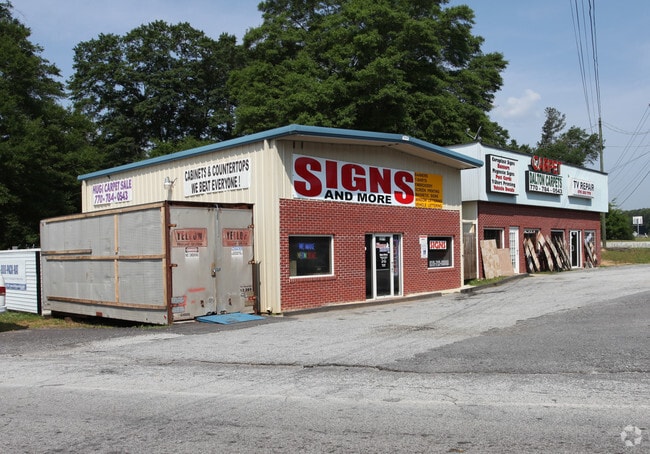
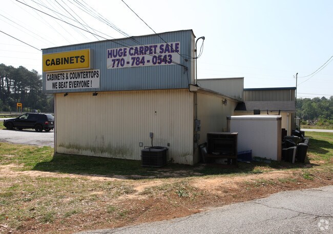
2373 Access Rd
0025000000021000
.32AC HWY 278 & FAIRVIEW
Storebuilding
NEWTON
C1
Georgia
B and X Area of moderate flood hazard, usually the area between the limits of the 100-year and 500-year floods.
0
2025
0.32 AC
2025
Lithonia/Conyers
100505
Atlanta
1,326 SF
Atlanta-Sandy Springs-Roswell, GA
NEARBY LISTINGS FOR SALE OR LEASE
-
-
View all Covington listings for sale on LoopNet.com
DEMOGRAPHICS near 2373 Access Rd
1 mile
3 mile
5 mile
2025 Total Population
3,614
35,450
89,090
2030 Population
3,926
38,271
95,897
Pop Growth 2025-2030
+ 8.63%
+ 7.96%
+ 7.64%
Average Age
38
37
38
2025 Total Households
1,247
12,467
31,400
HH Growth 2025-2030
+ 8.66%
+ 8.05%
+ 7.82%
Median Household Inc
$100,610
$72,968
$73,746
Avg Household Size
2.90
2.80
2.80
2025 Avg HH Vehicles
3.00
2.00
2.00
Median Home Value
$320,000
$273,807
$279,943
Median Year Built
1999
1999
1996
Nearby Places
Map Layers
Map Styles
 Street
 Aerial
Layers
 Traffic
 Biking
Places
Listings with unknown addresses are not visible on the map
- Restaurants
- Banks
- Shops
- Fitness
- Groceries
PUBLIC TRANSPORTATION
AIRPORT
Hartsfield - Jackson Atlanta International
Drive
Walk
Distance
Hartsfield - Jackson Atlanta International
47 min
35.0 mi
Freight Ports
Georgia Ports - Savannah
Drive
Walk
Distance
Georgia Ports - Savannah
271 min
233.3 mi
Nearby Properties
Address
Land Use
TOTAL SIZE
Lot Size
Zoning
Address
Land Use
TOTAL SIZE
Lot Size
Zoning
4,734 SF
35.19 AC
RMF
Address
Land Use
TOTAL SIZE
Lot Size
Zoning
306,886 SF
118.50 AC
R2
Address
Land Use
TOTAL SIZE
Lot Size
Zoning
1,648 SF
25.08 AC
C1
Address
Land Use
TOTAL SIZE
Lot Size
Zoning
882,960 SF
0.01 AC
Address
Land Use
TOTAL SIZE
Lot Size
Zoning
324,975 SF
35.98 AC
M1
Address
Land Use
TOTAL SIZE
Lot Size
Zoning
135,000 SF
24.77 AC
M1
Address
Land Use
TOTAL SIZE
Lot Size
Zoning
14,624 SF
26.09 AC
C1
Address
Land Use
TOTAL SIZE
Lot Size
Zoning
17,056 SF
16.78 AC
C1
Address
Land Use
TOTAL SIZE
Lot Size
Zoning
372,762 SF
32.27 AC
A1
Address
Land Use
TOTAL SIZE
Lot Size
Zoning
163,807 SF
10.60 AC
M1
Address
Land Use
TOTAL SIZE
Lot Size
Zoning
5,160 SF
45.17 AC
C1
Address
Land Use
TOTAL SIZE
Lot Size
Zoning
882,960 SF
114.02 AC
M1
Address
Land Use
TOTAL SIZE
Lot Size
Zoning
154,980 SF
17.37 AC
M1
Address
Land Use
TOTAL SIZE
Lot Size
Zoning
8,156 SF
14.49 AC
C1
Address
Land Use
TOTAL SIZE
Lot Size
Zoning
8,832 SF
8.26 AC
C1
Address
Land Use
TOTAL SIZE
Lot Size
Zoning
8,632 SF
8.11 AC
C1
Address
Land Use
TOTAL SIZE
Lot Size
Zoning
125,971 SF
23.84 AC
C1
Address
Land Use
TOTAL SIZE
Lot Size
Zoning
3,888 SF
7.17 AC
C1
Address
Land Use
TOTAL SIZE
Lot Size
Zoning
65,520 SF
35 AC
E6
Address
Land Use
TOTAL SIZE
Lot Size
Zoning
65,008 SF
23.81 AC
R2
Address
Land Use
TOTAL SIZE
Lot Size
Zoning
19,197 SF
9.72 AC
R3
Address
Land Use
TOTAL SIZE
Lot Size
Zoning
4,768 SF
263.26 AC
C1
Address
Land Use
TOTAL SIZE
Lot Size
Zoning
6,936 SF
8.88 AC
C1
Address
Land Use
TOTAL SIZE
Lot Size
Zoning
367,374 SF
39.48 AC
M1
Address
Land Use
TOTAL SIZE
Lot Size
Zoning
54,712 SF
54.54 AC
E6
Address
Land Use
TOTAL SIZE
Lot Size
Zoning
101,010 SF
59.60 AC
E6
Address
Land Use
TOTAL SIZE
Lot Size
Zoning
115,806 SF
29.25 AC
I1
Address
Land Use
TOTAL SIZE
Lot Size
Zoning
11,294 SF
7.63 AC
C1
Address
Land Use
TOTAL SIZE
Lot Size
Zoning
45,632 SF
27.74 AC
M1/C
Address
Land Use
TOTAL SIZE
Lot Size
Zoning
5,226 SF
8.13 AC
C1
The World's #1 Commercial Real Estate Marketplace
Connect with us
© 2026 CoStar Group
The information above has been obtained from sources believed reliable. While we do not doubt its accuracy we have not verified it and make no guarantee, warranty or representation about it. It is your responsibility to independently confirm its accuracy and completeness. Any projections, opinions, assumptions, or estimates used are for example only and do not represent the current or future performance of the property. The value of this transaction to you depends on tax and other factors which should be evaluated by your tax, financial, and legal advisors. You and your advisors should conduct a careful, independent investigation of the property to determine to your satisfaction the suitability of the property for your needs.