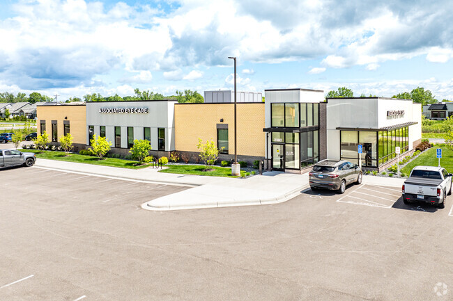
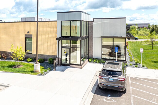
Property Record
2380 Rosemary Way, Hugo, MN 55038

Property Detail
2380 Rosemary Way
Minneapolis-St. Paul-Bloomington, MN-WI
LOT 1 BLK 1 BELLAND FARMS
24-31-22-11-0012
ANOKA
Commercialnec
Minnesota
2026
1
2026
Suburban St Paul
050230
Minneapolis/St Paul
12,300 SF
NEARBY LISTINGS FOR SALE OR LEASE
DEMOGRAPHICS near 2380 Rosemary Way
1 mile
3 mile
5 mile
2025 Total Population
5,285
24,797
45,382
2030 Population
5,696
26,198
47,060
Pop Growth 2025-2030
+ 7.78%
+ 5.65%
+ 3.70%
Average Age
38
39
41
2025 Total Households
2,084
9,026
16,558
HH Growth 2025-2030
+ 7.87%
+ 5.81%
+ 3.78%
Median Household Inc
$109,707
$124,592
$126,544
Avg Household Size
2.50
2.70
2.70
2025 Avg HH Vehicles
2.00
2.00
2.00
Median Home Value
$389,956
$425,675
$427,530
Median Year Built
2007
2002
1996
Nearby Places
Map Layers
Map Styles
 Street
 Aerial
Layers
 Traffic
 Biking
Places
Listings with unknown addresses are not visible on the map
- Restaurants
- Banks
- Shops
- Fitness
- Groceries
PUBLIC TRANSPORTATION
AIRPORT
Minneapolis-St Paul International/Wold-Chamberlain
Drive
Walk
Distance
Minneapolis-St Paul International/Wold-Chamberlain
38 min
26.7 mi
Freight Ports
Port Milwaukee
Drive
Walk
Distance
Port Milwaukee
379 min
343.1 mi
Nearby Properties
Address
Land Use
TOTAL SIZE
Lot Size
Zoning
Address
Land Use
TOTAL SIZE
Lot Size
Zoning
402,000 SF
27.86 AC
Address
Land Use
TOTAL SIZE
Lot Size
Zoning
141,360 SF
Address
Land Use
TOTAL SIZE
Lot Size
Zoning
78,920 SF
7.50 AC
Address
Land Use
TOTAL SIZE
Lot Size
Zoning
Address
Land Use
TOTAL SIZE
Lot Size
Zoning
99,207 SF
5 AC
Address
Land Use
TOTAL SIZE
Lot Size
Zoning
100,794 SF
Address
Land Use
TOTAL SIZE
Lot Size
Zoning
Address
Land Use
TOTAL SIZE
Lot Size
Zoning
57,522 SF
8.63 AC
Address
Land Use
TOTAL SIZE
Lot Size
Zoning
136,800 SF
Address
Land Use
TOTAL SIZE
Lot Size
Zoning
65,950 SF
9.68 AC
Address
Land Use
TOTAL SIZE
Lot Size
Zoning
163,329 SF
11.36 AC
Address
Land Use
TOTAL SIZE
Lot Size
Zoning
86,423 SF
82.84 AC
Address
Land Use
TOTAL SIZE
Lot Size
Zoning
40,036 SF
18.45 AC
Address
Land Use
TOTAL SIZE
Lot Size
Zoning
137,960 SF
20 AC
Address
Land Use
TOTAL SIZE
Lot Size
Zoning
60,939 SF
Address
Land Use
TOTAL SIZE
Lot Size
Zoning
55,000 SF
Address
Land Use
TOTAL SIZE
Lot Size
Zoning
21,671 SF
4.40 AC
Address
Land Use
TOTAL SIZE
Lot Size
Zoning
202,000 SF
11.43 AC
Address
Land Use
TOTAL SIZE
Lot Size
Zoning
20,904 SF
12.50 AC
Address
Land Use
TOTAL SIZE
Lot Size
Zoning
93,800 SF
13.10 AC
Address
Land Use
TOTAL SIZE
Lot Size
Zoning
83,351 SF
Address
Land Use
TOTAL SIZE
Lot Size
Zoning
63,100 SF
3.90 AC
Address
Land Use
TOTAL SIZE
Lot Size
Zoning
22,396 SF
2 AC
Address
Land Use
TOTAL SIZE
Lot Size
Zoning
19,740 SF
2.15 AC
Address
Land Use
TOTAL SIZE
Lot Size
Zoning
73,080 SF
5.88 AC
Address
Land Use
TOTAL SIZE
Lot Size
Zoning
14,152 SF
1.24 AC
Address
Land Use
TOTAL SIZE
Lot Size
Zoning
36,744 SF
11.99 AC
Address
Land Use
TOTAL SIZE
Lot Size
Zoning
12,596 SF
1.95 AC
Address
Land Use
TOTAL SIZE
Lot Size
Zoning
11,827 SF
4.27 AC
Address
Land Use
TOTAL SIZE
Lot Size
Zoning
61,972 SF
11.09 AC
The World's #1 Commercial Real Estate Marketplace
Connect with us
© 2026 CoStar Group
The information above has been obtained from sources believed reliable. While we do not doubt its accuracy we have not verified it and make no guarantee, warranty or representation about it. It is your responsibility to independently confirm its accuracy and completeness. Any projections, opinions, assumptions, or estimates used are for example only and do not represent the current or future performance of the property. The value of this transaction to you depends on tax and other factors which should be evaluated by your tax, financial, and legal advisors. You and your advisors should conduct a careful, independent investigation of the property to determine to your satisfaction the suitability of the property for your needs.