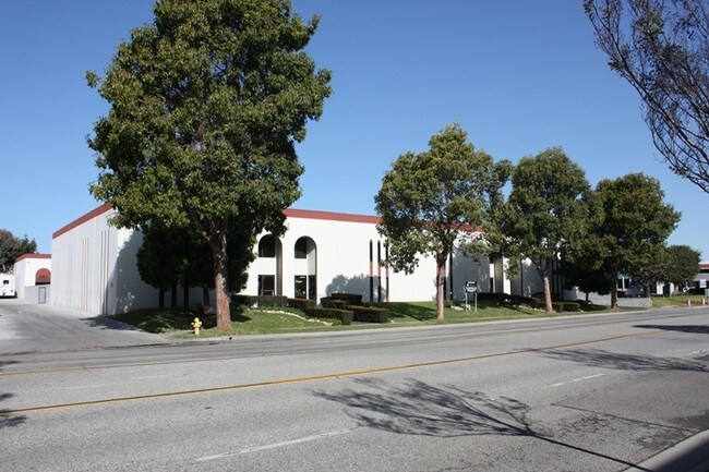
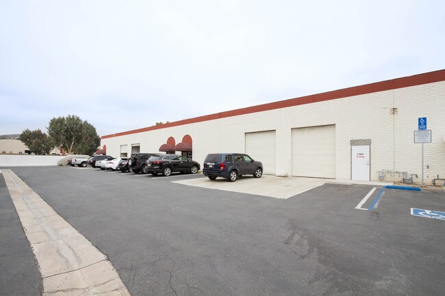
Property Record
23875 Madison St, Torrance, CA 90505
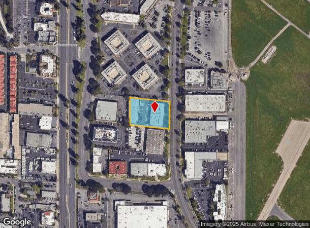

NEARBY LISTINGS FOR SALE OR LEASE
Property Detail
23875 Madison St
Los Angeles-Long Beach-Glendale, CA
21484
7378-011-049
TRACT NO 21484 LOT 19
Lightindustrial
Los Angeles
X
California
06037C1940F
19
2024
1.01 AC
2025
Torrance
651101
Los Angeles
24,534 SF
DEMOGRAPHICS near 23875 Madison St
1 Mile
3 Mile
5 Mile
2024 Total Population
18,634
188,438
453,554
2029 Population
18,105
183,377
440,560
Pop Growth 2024-2029
(2.84%)
(2.69%)
(2.86%)
Average Age
42
43
42
2024 Total Households
7,165
73,076
165,285
HH Growth 2024-2029
(3.06%)
(2.87%)
(3.04%)
Median Household Inc
$103,022
$106,048
$107,347
Avg Household Size
2.50
2.50
2.60
2024 Avg HH Vehicles
2.00
2.00
2.00
Median Home Value
$1,031,770
$973,779
$913,094
Median Year Built
1963
1964
1966
Nearby Places
- Restaurants
- Banks
- Shops
- Fitness
- Groceries
PUBLIC TRANSPORTATION
AIRPORT
Los Angeles International
DRIVE
WALK
Distance
Los Angeles International
22 min
12.9 mi
Long Beach (Daugherty Field)
DRIVE
WALK
Distance
Long Beach (Daugherty Field)
24 min
13.7 mi
Bob Hope
DRIVE
WALK
Distance
Bob Hope
51 min
36.5 mi
Freight Ports
Port of Los Angeles
DRIVE
WALK
Distance
Port of Los Angeles
23 min
10.4 mi
SALE & LEASE HISTORY
LISTING DATE
SALE/LEASE

Oct 22, 2019
For Lease
Nearby Properties
Address
Land Use
TOTAL SIZE
Lot Size
Zoning
Address
Land Use
TOTAL SIZE
Lot Size
Zoning
767,582 SF
13.62 AC
TOHHM
Address
Land Use
TOTAL SIZE
Lot Size
Zoning
997,143 SF
98.35 AC
TOMI-BP
Address
Land Use
TOTAL SIZE
Lot Size
Zoning
267,305 SF
1.59 AC
TOHC-CTR
Address
Land Use
TOTAL SIZE
Lot Size
Zoning
1,261,764 SF
26.51 AC
TOMI-LT
Address
Land Use
TOTAL SIZE
Lot Size
Zoning
267,131 SF
12.10 AC
TOHHM
Address
Land Use
TOTAL SIZE
Lot Size
Zoning
297,420 SF
6.65 AC
TOHC-CTR
Address
Land Use
TOTAL SIZE
Lot Size
Zoning
202,924 SF
6.15 AC
TOHC-CTR
Address
Land Use
TOTAL SIZE
Lot Size
Zoning
561,699 SF
Address
Land Use
TOTAL SIZE
Lot Size
Zoning
131,101 SF
14.03 AC
TOPC-GEN
Address
Land Use
TOTAL SIZE
Lot Size
Zoning
257,723 SF
4.06 AC
TOCC-GEN
Address
Land Use
TOTAL SIZE
Lot Size
Zoning
405,352 SF
7.70 AC
TOHC-CTR
Address
Land Use
TOTAL SIZE
Lot Size
Zoning
103,228 SF
1.19 AC
TORR-HI
Address
Land Use
TOTAL SIZE
Lot Size
Zoning
75,054 SF
1.17 AC
RBRMD
Address
Land Use
TOTAL SIZE
Lot Size
Zoning
176,514 SF
3.74 AC
TORR-MH
Address
Land Use
TOTAL SIZE
Lot Size
Zoning
100,149 SF
1.99 AC
TORR-MD
Address
Land Use
TOTAL SIZE
Lot Size
Zoning
147,414 SF
3.28 AC
TORR-MH
Address
Land Use
TOTAL SIZE
Lot Size
Zoning
81,328 SF
3.13 AC
TOCC-GEN
Address
Land Use
TOTAL SIZE
Lot Size
Zoning
67,581 SF
1.49 AC
OLD PCL003
Address
Land Use
TOTAL SIZE
Lot Size
Zoning
365,701 SF
2.45 AC
TOMI-BP
Address
Land Use
TOTAL SIZE
Lot Size
Zoning
318,052 SF
8.47 AC
TOHC-CTR
Address
Land Use
TOTAL SIZE
Lot Size
Zoning
121,931 SF
6.26 AC
TOHC-CTR
Address
Land Use
TOTAL SIZE
Lot Size
Zoning
287,730 SF
10.33 AC
TOHC-CTR
Address
Land Use
TOTAL SIZE
Lot Size
Zoning
169,576 SF
8.40 AC
TOMI-BP
Address
Land Use
TOTAL SIZE
Lot Size
Zoning
128,631 SF
15.23 AC
TOPC-GEN
Address
Land Use
TOTAL SIZE
Lot Size
Zoning
115,399 SF
12.10 AC
TOPC-GEN
Address
Land Use
TOTAL SIZE
Lot Size
Zoning
728,334 SF
11.44 AC
TOMI-BP
The World's #1 Commercial Real Estate Marketplace
Connect with us
© 2025 CoStar Group
The information above has been obtained from sources believed reliable. While we do not doubt its accuracy we have not verified it and make no guarantee, warranty or representation about it. It is your responsibility to independently confirm its accuracy and completeness. Any projections, opinions, assumptions, or estimates used are for example only and do not represent the current or future performance of the property. The value of this transaction to you depends on tax and other factors which should be evaluated by your tax, financial, and legal advisors. You and your advisors should conduct a careful, independent investigation of the property to determine to your satisfaction the suitability of the property for your needs.