Property Record
2390 Highway 51 N, Nesbit, MS 38651
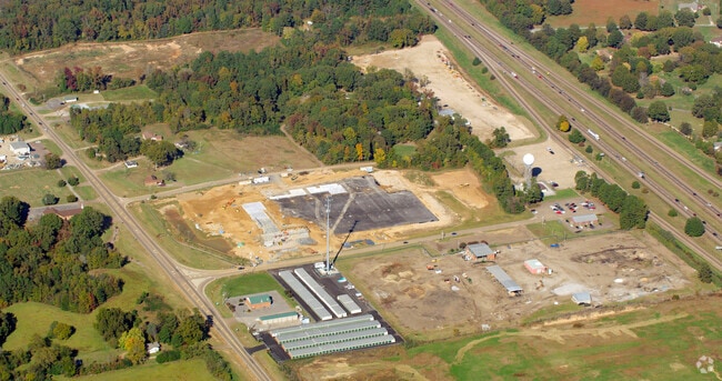

Property Detail
2390 Highway 51 N
2086240000001500
PT N1/2 SE1/4
Officebuilding
DESOTO
C-2
Mississippi
B and X Area of moderate flood hazard, usually the area between the limits of the 100-year and 500-year floods.
15
2025
15 AC
2025
DeSoto
070222
Memphis
29,738 SF
Memphis, TN-MS-AR
NEARBY LISTINGS FOR SALE OR LEASE
DEMOGRAPHICS near 2390 Highway 51 N
1 mile
3 mile
5 mile
2025 Total Population
2,114
15,621
56,801
2030 Population
2,229
16,469
59,425
Pop Growth 2025-2030
+ 5.44%
+ 5.43%
+ 4.62%
Average Age
39
38
39
2025 Total Households
771
5,891
21,126
HH Growth 2025-2030
+ 5.45%
+ 5.45%
+ 4.62%
Median Household Inc
$85,526
$85,703
$85,510
Avg Household Size
2.70
2.60
2.70
2025 Avg HH Vehicles
2.00
2.00
2.00
Median Home Value
$348,755
$354,803
$305,211
Median Year Built
2002
2001
1998
Nearby Places
Map Layers
Map Styles
 Street
 Aerial
Layers
 Traffic
 Biking
Places
Listings with unknown addresses are not visible on the map
- Restaurants
- Banks
- Shops
- Fitness
- Groceries
PUBLIC TRANSPORTATION
AIRPORT
Memphis International
Drive
Walk
Distance
Memphis International
20 min
14.8 mi
Freight Ports
Port of Shreveport
Drive
Walk
Distance
Port of Shreveport
422 min
388.4 mi
Nearby Properties
Address
Land Use
TOTAL SIZE
Lot Size
Zoning
Address
Land Use
TOTAL SIZE
Lot Size
Zoning
436,932 SF
153.19 AC
M-1
Address
Land Use
TOTAL SIZE
Lot Size
Zoning
1,197,486 SF
59.47 AC
PBP
Address
Land Use
TOTAL SIZE
Lot Size
Zoning
906,200 SF
73.05 AC
PBP
Address
Land Use
TOTAL SIZE
Lot Size
Zoning
864,024 SF
51.02 AC
PBP
Address
Land Use
TOTAL SIZE
Lot Size
Zoning
946,430 SF
62.60 AC
PBP
Address
Land Use
TOTAL SIZE
Lot Size
Zoning
23,183 SF
33.02 AC
PUD
Address
Land Use
TOTAL SIZE
Lot Size
Zoning
842,678 SF
51 AC
PBP
Address
Land Use
TOTAL SIZE
Lot Size
Zoning
412,218 SF
37.80 AC
PBP
Address
Land Use
TOTAL SIZE
Lot Size
Zoning
62,561 SF
33.01 AC
PUD
Address
Land Use
TOTAL SIZE
Lot Size
Zoning
864,160 SF
44.14 AC
PBP
Address
Land Use
TOTAL SIZE
Lot Size
Zoning
18,830 SF
25.45 AC
PUD
Address
Land Use
TOTAL SIZE
Lot Size
Zoning
473,820 SF
56.29 AC
PBP
Address
Land Use
TOTAL SIZE
Lot Size
Zoning
15,472 SF
25.97 AC
PUD
Address
Land Use
TOTAL SIZE
Lot Size
Zoning
581,530 SF
51.64 AC
PBP
Address
Land Use
TOTAL SIZE
Lot Size
Zoning
14,122 SF
24 AC
PUD
Address
Land Use
TOTAL SIZE
Lot Size
Zoning
553,179 SF
36.77 AC
PBP
Address
Land Use
TOTAL SIZE
Lot Size
Zoning
514,885 SF
35.91 AC
PBP
Address
Land Use
TOTAL SIZE
Lot Size
Zoning
262,006 SF
25.85 AC
PBP
Address
Land Use
TOTAL SIZE
Lot Size
Zoning
328,440 SF
24.49 AC
PBP
Address
Land Use
TOTAL SIZE
Lot Size
Zoning
20,588 SF
14 AC
PUD
Address
Land Use
TOTAL SIZE
Lot Size
Zoning
300,764 SF
22.13 AC
PBP
Address
Land Use
TOTAL SIZE
Lot Size
Zoning
316,720 SF
21.20 AC
PBP
Address
Land Use
TOTAL SIZE
Lot Size
Zoning
300,280 SF
20.86 AC
PBP
Address
Land Use
TOTAL SIZE
Lot Size
Zoning
21,151 SF
11.53 AC
PUD
Address
Land Use
TOTAL SIZE
Lot Size
Zoning
216,320 SF
30 AC
PBP
Address
Land Use
TOTAL SIZE
Lot Size
Zoning
202,306 SF
15.07 AC
PBP
Address
Land Use
TOTAL SIZE
Lot Size
Zoning
67,020 SF
7.73 AC
PUD
Address
Land Use
TOTAL SIZE
Lot Size
Zoning
64,797 SF
13.91 AC
M-1
Address
Land Use
TOTAL SIZE
Lot Size
Zoning
80,000 SF
6.59 AC
PUD
The World's #1 Commercial Real Estate Marketplace
Connect with us
© 2026 CoStar Group
The information above has been obtained from sources believed reliable. While we do not doubt its accuracy we have not verified it and make no guarantee, warranty or representation about it. It is your responsibility to independently confirm its accuracy and completeness. Any projections, opinions, assumptions, or estimates used are for example only and do not represent the current or future performance of the property. The value of this transaction to you depends on tax and other factors which should be evaluated by your tax, financial, and legal advisors. You and your advisors should conduct a careful, independent investigation of the property to determine to your satisfaction the suitability of the property for your needs.