Property Record
23925 Bay Ave, Moreno Valley, CA 92553


Property Detail
23925 Bay Ave
296-293-012
8.77 ACRES GRS IN LOT 1 MB 425/046 TR 34407
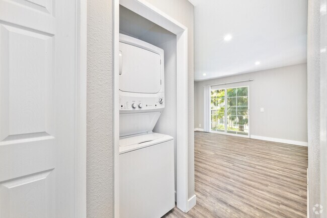
Apartment
Riverside
R1
California
B and X Area of moderate flood hazard, usually the area between the limits of the 100-year and 500-year floods.
1
2024
8.77 AC
2025
Moreno Valley West
042511
Inland Empire (California)
27,884 SF
Riverside-San Bernardino-Ontario, CA
NEARBY LISTINGS FOR SALE OR LEASE
DEMOGRAPHICS near 23925 Bay Ave
1 mile
3 mile
5 mile
2025 Total Population
23,169
149,273
239,318
2030 Population
23,553
152,351
244,419
Pop Growth 2025-2030
+ 1.66%
+ 2.06%
+ 2.13%
Average Age
34
35
35
2025 Total Households
5,897
38,886
64,464
HH Growth 2025-2030
+ 1.22%
+ 1.65%
+ 1.77%
Median Household Inc
$68,193
$81,510
$95,194
Avg Household Size
3.80
3.70
3.60
2025 Avg HH Vehicles
2.00
2.00
2.00
Median Home Value
$448,074
$477,298
$574,732
Median Year Built
1983
1985
1988
Nearby Places
Map Layers
Map Styles
 Street
 Aerial
Layers
 Traffic
 Biking
Places
Listings with unknown addresses are not visible on the map
- Restaurants
- Banks
- Shops
- Fitness
- Groceries
PUBLIC TRANSPORTATION
COMMUTER RAIL
Moreno Valley/March Field (Metrolink 91-Perris Valley Line - Metrolink Trains)
Drive
Walk
Distance
Moreno Valley/March Field (Metrolink 91-Perris Valley Line - Metrolink Trains)
7 min
3.6 mi
Riverside-Hunter Park/Ucr (Metrolink 91-Perris Valley Line - Metrolink Trains)
Drive
Walk
Distance
Riverside-Hunter Park/Ucr (Metrolink 91-Perris Valley Line - Metrolink Trains)
14 min
9.9 mi
AIRPORT
Ontario International
Drive
Walk
Distance
Ontario International
34 min
26.7 mi
Freight Ports
Port of Long Beach
Drive
Walk
Distance
Port of Long Beach
85 min
63.6 mi
Nearby Properties
Address
Land Use
TOTAL SIZE
Lot Size
Zoning
Address
Land Use
TOTAL SIZE
Lot Size
Zoning
1,851,898 SF
128.07 AC
Address
Land Use
TOTAL SIZE
Lot Size
Zoning
1,101,504 SF
59.45 AC
Address
Land Use
TOTAL SIZE
Lot Size
Zoning
709,081 SF
33.17 AC
Address
Land Use
TOTAL SIZE
Lot Size
Zoning
617,000 SF
23.91 AC
W2
Address
Land Use
TOTAL SIZE
Lot Size
Zoning
1,331,763 SF
62.60 AC
Address
Land Use
TOTAL SIZE
Lot Size
Zoning
1,280,446 SF
51.47 AC
Address
Land Use
TOTAL SIZE
Lot Size
Zoning
1,461,146 SF
72.62 AC
Address
Land Use
TOTAL SIZE
Lot Size
Zoning
929,918 SF
52.44 AC
Address
Land Use
TOTAL SIZE
Lot Size
Zoning
607,644 SF
26.09 AC
O
Address
Land Use
TOTAL SIZE
Lot Size
Zoning
397,994 SF
19.70 AC
H
Address
Land Use
TOTAL SIZE
Lot Size
Zoning
481,636 SF
45 AC
Address
Land Use
TOTAL SIZE
Lot Size
Zoning
283,209 SF
16.91 AC
R20
Address
Land Use
TOTAL SIZE
Lot Size
Zoning
302,116 SF
30.19 AC
RA
Address
Land Use
TOTAL SIZE
Lot Size
Zoning
620,533 SF
32.50 AC
Address
Land Use
TOTAL SIZE
Lot Size
Zoning
63,962 SF
11.43 AC
H
Address
Land Use
TOTAL SIZE
Lot Size
Zoning
1,103,003 SF
47.64 AC
LI
Address
Land Use
TOTAL SIZE
Lot Size
Zoning
91,891 SF
20.61 AC
R20
Address
Land Use
TOTAL SIZE
Lot Size
Zoning
74,096 SF
10.76 AC
SP218
Address
Land Use
TOTAL SIZE
Lot Size
Zoning
579,807 SF
30.23 AC
MP
Address
Land Use
TOTAL SIZE
Lot Size
Zoning
430,647 SF
31.09 AC
Address
Land Use
TOTAL SIZE
Lot Size
Zoning
532,926 SF
24.37 AC
Address
Land Use
TOTAL SIZE
Lot Size
Zoning
38,400 SF
15.73 AC
R3
Address
Land Use
TOTAL SIZE
Lot Size
Zoning
486,000 SF
24.62 AC
Address
Land Use
TOTAL SIZE
Lot Size
Zoning
262,260 SF
13.35 AC
RR
Address
Land Use
TOTAL SIZE
Lot Size
Zoning
400,935 SF
19.07 AC
Address
Land Use
TOTAL SIZE
Lot Size
Zoning
252,504 SF
13.11 AC
SP
Address
Land Use
TOTAL SIZE
Lot Size
Zoning
522,772 SF
26.26 AC
LI
Address
Land Use
TOTAL SIZE
Lot Size
Zoning
37,010 SF
12.13 AC
Address
Land Use
TOTAL SIZE
Lot Size
Zoning
756,340 SF
32.06 AC
BP
Address
Land Use
TOTAL SIZE
Lot Size
Zoning
503,592 SF
26.92 AC
The World's #1 Commercial Real Estate Marketplace
Connect with us
© 2026 CoStar Group
The information above has been obtained from sources believed reliable. While we do not doubt its accuracy we have not verified it and make no guarantee, warranty or representation about it. It is your responsibility to independently confirm its accuracy and completeness. Any projections, opinions, assumptions, or estimates used are for example only and do not represent the current or future performance of the property. The value of this transaction to you depends on tax and other factors which should be evaluated by your tax, financial, and legal advisors. You and your advisors should conduct a careful, independent investigation of the property to determine to your satisfaction the suitability of the property for your needs.