Property Record
2400 Cox Rd, Lumberton, NC 28360
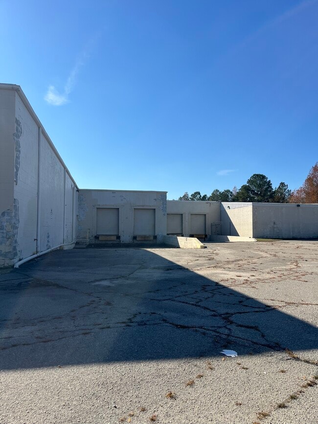

This Property Is For Sale
Property Detail
2400 Cox Rd
1011-02-01402
A N/S SR1598 TITAN FLOW CONTROL
Lightindustrial
ROBESON
M2
North Carolina
AE The base floodplain where base flood elevations are provided. AE Zones are now used on new format FIRMs instead of A1-A30 Zones.
5.25 AC
2025
North Carolina Southeast Area
2025
Other Market Areas
960801
Lumberton, NC
57,916 SF
NEARBY LISTINGS FOR SALE OR LEASE
DEMOGRAPHICS near 2400 Cox Rd
1 mile
3 mile
5 mile
2025 Total Population
854
17,290
32,362
2030 Population
926
18,040
33,579
Pop Growth 2025-2030
+ 8.43%
+ 4.34%
+ 3.76%
Average Age
36
39
39
2025 Total Households
329
6,554
12,376
HH Growth 2025-2030
+ 8.21%
+ 4.59%
+ 3.92%
Median Household Inc
$38,068
$43,041
$45,928
Avg Household Size
2.60
2.40
2.40
2025 Avg HH Vehicles
1.00
2.00
2.00
Median Home Value
$70,175
$116,558
$125,226
Median Year Built
1972
1974
1980
Nearby Places
Map Layers
Map Styles
 Street
 Aerial
Layers
 Traffic
 Biking
Places
Listings with unknown addresses are not visible on the map
- Restaurants
- Banks
- Shops
- Fitness
- Groceries
PUBLIC TRANSPORTATION
AIRPORT
Fayetteville Regional/Grannis Field
Drive
Walk
Distance
Fayetteville Regional/Grannis Field
40 min
31.0 mi
Freight Ports
Port of Wilmington
Drive
Walk
Distance
Port of Wilmington
109 min
82.1 mi
Nearby Properties
Address
Land Use
TOTAL SIZE
Lot Size
Zoning
Address
Land Use
TOTAL SIZE
Lot Size
Zoning
59,810 SF
7.69 AC
R7
Address
Land Use
TOTAL SIZE
Lot Size
Zoning
116,616 SF
10.18 AC
B6
Address
Land Use
TOTAL SIZE
Lot Size
Zoning
82,115 SF
39.22 AC
R15
Address
Land Use
TOTAL SIZE
Lot Size
Zoning
16,128 SF
51.95 AC
M2
Address
Land Use
TOTAL SIZE
Lot Size
Zoning
234,074 SF
63.48 AC
M2
Address
Land Use
TOTAL SIZE
Lot Size
Zoning
10,197 SF
417.66 AC
M1
Address
Land Use
TOTAL SIZE
Lot Size
Zoning
134,160 SF
0.26 AC
B6
Address
Land Use
TOTAL SIZE
Lot Size
Zoning
39,628 SF
34.85 AC
M2
Address
Land Use
TOTAL SIZE
Lot Size
Zoning
128,531 SF
22.20 AC
B4
Address
Land Use
TOTAL SIZE
Lot Size
Zoning
418,000 SF
31.52 AC
M2
Address
Land Use
TOTAL SIZE
Lot Size
Zoning
120,000 SF
17.10 AC
M2
Address
Land Use
TOTAL SIZE
Lot Size
Zoning
1,650 SF
26.34 AC
RA
Address
Land Use
TOTAL SIZE
Lot Size
Zoning
297,300 SF
128.80 AC
M2
Address
Land Use
TOTAL SIZE
Lot Size
Zoning
24,984 SF
41.13 AC
R11
Address
Land Use
TOTAL SIZE
Lot Size
Zoning
90,800 SF
36.65 AC
R20
Address
Land Use
TOTAL SIZE
Lot Size
Zoning
67,728 SF
1.50 AC
B1
Address
Land Use
TOTAL SIZE
Lot Size
Zoning
69,765 SF
9.51 AC
B4
Address
Land Use
TOTAL SIZE
Lot Size
Zoning
2,187 SF
18.75 AC
R3
Address
Land Use
TOTAL SIZE
Lot Size
Zoning
106,046 SF
31.24 AC
RA
Address
Land Use
TOTAL SIZE
Lot Size
Zoning
158,379 SF
17.47 AC
I2
Address
Land Use
TOTAL SIZE
Lot Size
Zoning
4,048 SF
12.73 AC
R3
Address
Land Use
TOTAL SIZE
Lot Size
Zoning
88,710 SF
1.11 AC
B1
Address
Land Use
TOTAL SIZE
Lot Size
Zoning
95,143 SF
7.55 AC
B4
Address
Land Use
TOTAL SIZE
Lot Size
Zoning
59,635 SF
10.24 AC
R11
Address
Land Use
TOTAL SIZE
Lot Size
Zoning
75,704 SF
7.60 AC
R3
Address
Land Use
TOTAL SIZE
Lot Size
Zoning
75,000 SF
13.84 AC
B4
Address
Land Use
TOTAL SIZE
Lot Size
Zoning
149,800 SF
66.53 AC
M2
Address
Land Use
TOTAL SIZE
Lot Size
Zoning
1,894 SF
11.48 AC
R3
Address
Land Use
TOTAL SIZE
Lot Size
Zoning
71,260 SF
7.69 AC
B4
Address
Land Use
TOTAL SIZE
Lot Size
Zoning
1,232 SF
10.68 AC
R7
The World's #1 Commercial Real Estate Marketplace
Connect with us
© 2026 CoStar Group
The information above has been obtained from sources believed reliable. While we do not doubt its accuracy we have not verified it and make no guarantee, warranty or representation about it. It is your responsibility to independently confirm its accuracy and completeness. Any projections, opinions, assumptions, or estimates used are for example only and do not represent the current or future performance of the property. The value of this transaction to you depends on tax and other factors which should be evaluated by your tax, financial, and legal advisors. You and your advisors should conduct a careful, independent investigation of the property to determine to your satisfaction the suitability of the property for your needs.