Property Record
2400 Manzanita Dr, Canyon, CA 94516


Save to a Folder
{{folder.Name}}
{{folder.ListingIds.length}} Properties
{{folder.ListingIds.length}} Property
Create a New Folder
Property Detail
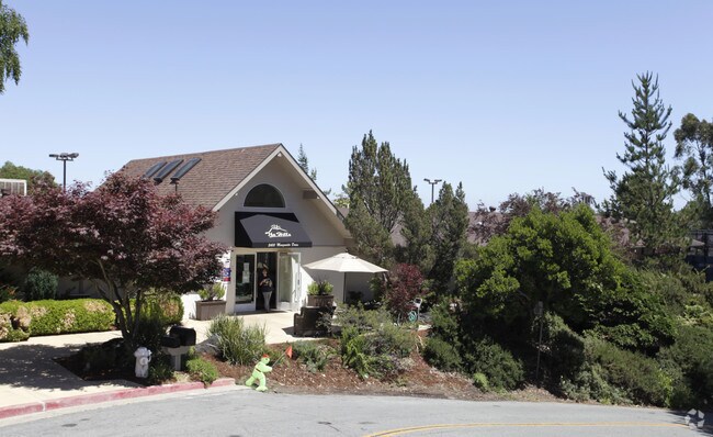
2400 Manzanita Dr
257-020-009-3
POR SEC 15 T1S R3W
Recreationalentertainmentgeneral
CONTRA COSTA
A2
California
B and X Area of moderate flood hazard, usually the area between the limits of the 100-year and 500-year floods.
14.16 AC
2025
Lamorinda
2026
East Bay/Oakland
352202
Oakland-Fremont-Berkeley, CA
550 SF
NEARBY LISTINGS FOR SALE OR LEASE
DEMOGRAPHICS near 2400 Manzanita Dr
1 mile
3 mile
5 mile
2025 Total Population
5,168
64,415
391,606
2030 Population
5,160
64,308
391,746
Pop Growth 2025-2030
(0.15%)
(0.17%)
+ 0.04%
Average Age
47
45
41
2025 Total Households
2,059
24,829
151,945
HH Growth 2025-2030
(0.34%)
(0.31%)
+ 0.13%
Median Household Inc
$237,362
$203,280
$112,694
Avg Household Size
2.50
2.50
2.40
2025 Avg HH Vehicles
2.00
2.00
2.00
Median Home Value
$1,125,584
$1,118,624
$1,064,997
Median Year Built
1966
1956
1954
Nearby Places
Map Layers
Map Styles
 Street
 Aerial
Layers
 Traffic
 Biking
Places
Listings with unknown addresses are not visible on the map
- Restaurants
- Banks
- Shops
- Fitness
- Groceries
PUBLIC TRANSPORTATION
COMMUTER RAIL
Drive
Walk
Distance
17 min
7.0 mi
Drive
Walk
Distance
18 min
8.4 mi
AIRPORT
Metro Oakland International
Drive
Walk
Distance
Metro Oakland International
23 min
12.6 mi
San Francisco International
Drive
Walk
Distance
San Francisco International
46 min
28.9 mi
Norman Y Mineta San Jose International
Drive
Walk
Distance
Norman Y Mineta San Jose International
57 min
42.7 mi
Freight Ports
Port of Oakland
Drive
Walk
Distance
Port of Oakland
18 min
9.8 mi
Nearby Properties
Address
Land Use
TOTAL SIZE
Lot Size
Zoning
Address
Land Use
TOTAL SIZE
Lot Size
Zoning
133,636 SF
5.46 AC
Address
Land Use
TOTAL SIZE
Lot Size
Zoning
320,001 SF
37.56 AC
Address
Land Use
TOTAL SIZE
Lot Size
Zoning
1,320 SF
27.04 AC
Address
Land Use
TOTAL SIZE
Lot Size
Zoning
64,421 SF
3.49 AC
Address
Land Use
TOTAL SIZE
Lot Size
Zoning
26,885 SF
1.92 AC
Address
Land Use
TOTAL SIZE
Lot Size
Zoning
Address
Land Use
TOTAL SIZE
Lot Size
Zoning
16,438 SF
10.71 AC
Address
Land Use
TOTAL SIZE
Lot Size
Zoning
32,436 SF
1.86 AC
C40
Address
Land Use
TOTAL SIZE
Lot Size
Zoning
27,451 SF
1.71 AC
Address
Land Use
TOTAL SIZE
Lot Size
Zoning
49,683 SF
4.91 AC
Address
Land Use
TOTAL SIZE
Lot Size
Zoning
28,719 SF
1.90 AC
Address
Land Use
TOTAL SIZE
Lot Size
Zoning
80,045 SF
7.45 AC
Address
Land Use
TOTAL SIZE
Lot Size
Zoning
17,880 SF
2.08 AC
Address
Land Use
TOTAL SIZE
Lot Size
Zoning
51.95 AC
Address
Land Use
TOTAL SIZE
Lot Size
Zoning
49,506 SF
7.93 AC
Address
Land Use
TOTAL SIZE
Lot Size
Zoning
19,502 SF
0.45 AC
Address
Land Use
TOTAL SIZE
Lot Size
Zoning
10,646 SF
1.34 AC
Address
Land Use
TOTAL SIZE
Lot Size
Zoning
18,669 SF
0.17 AC
Address
Land Use
TOTAL SIZE
Lot Size
Zoning
7,840 SF
0.24 AC
Address
Land Use
TOTAL SIZE
Lot Size
Zoning
27,801 SF
7.86 AC
Address
Land Use
TOTAL SIZE
Lot Size
Zoning
25,940 SF
0.48 AC
Address
Land Use
TOTAL SIZE
Lot Size
Zoning
32,081 SF
6.22 AC
Address
Land Use
TOTAL SIZE
Lot Size
Zoning
21.79 AC
Address
Land Use
TOTAL SIZE
Lot Size
Zoning
13,040 SF
0.15 AC
Address
Land Use
TOTAL SIZE
Lot Size
Zoning
15,786 SF
0.97 AC
Address
Land Use
TOTAL SIZE
Lot Size
Zoning
0.88 AC
Address
Land Use
TOTAL SIZE
Lot Size
Zoning
42,689 SF
1.95 AC
Address
Land Use
TOTAL SIZE
Lot Size
Zoning
768.13 AC
A2
Address
Land Use
TOTAL SIZE
Lot Size
Zoning
1,232 SF
8.18 AC
Address
Land Use
TOTAL SIZE
Lot Size
Zoning
9,652 SF
0.55 AC
The World's #1 Commercial Real Estate Marketplace
Connect with us
© 2026 CoStar Group
The information above has been obtained from sources believed reliable. While we do not doubt its accuracy we have not verified it and make no guarantee, warranty or representation about it. It is your responsibility to independently confirm its accuracy and completeness. Any projections, opinions, assumptions, or estimates used are for example only and do not represent the current or future performance of the property. The value of this transaction to you depends on tax and other factors which should be evaluated by your tax, financial, and legal advisors. You and your advisors should conduct a careful, independent investigation of the property to determine to your satisfaction the suitability of the property for your needs.