Property Record
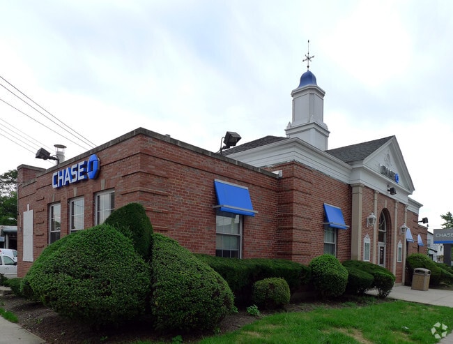
2401 Ralph Ave, Brooklyn, NY 11234


NEARBY LISTINGS FOR SALE OR LEASE
Property Detail
2401 Ralph Ave
08384-0039
ID2010081000732016
Financialbuilding
Kings
X
New York
3604970356F
39
2024
0.59 AC
2025
South Brooklyn
069800
Long Island (New York)
7,424 SF
New York-Jersey City-White Plains, NY-NJ
DEMOGRAPHICS near 2401 Ralph Ave
1 Mile
3 Mile
5 Mile
2024 Total Population
55,808
611,723
1,769,700
2029 Population
50,188
568,196
1,647,860
Pop Growth 2024-2029
(10.07%)
(7.12%)
(6.88%)
Average Age
43
41
40
2024 Total Households
19,043
215,694
630,336
HH Growth 2024-2029
(10.72%)
(7.51%)
(7.22%)
Median Household Inc
$92,675
$65,661
$63,343
Avg Household Size
2.80
2.70
2.70
2024 Avg HH Vehicles
1.00
1.00
1.00
Median Home Value
$722,875
$710,640
$777,315
Median Year Built
1957
1949
1948
Nearby Places
Map Layers
Map Styles
 Street
 Aerial
- Restaurants
- Banks
- Shops
- Fitness
- Groceries
PUBLIC TRANSPORTATION
COMMUTER RAIL
East New York Station (Far Rockaway Branch - Long Island Rail Road, Long Beach Branch - Long Island Rail Road, West Hempstead Branch - Long Island Rail Road)
DRIVE
WALK
Distance
East New York Station (Far Rockaway Branch - Long Island Rail Road, Long Beach Branch - Long Island Rail Road, West Hempstead Branch - Long Island Rail Road)
10 min
4.7 mi
Nostrand Avenue Station (Far Rockaway Branch - Long Island Rail Road, Hempstead Branch - Long Island Rail Road, Long Beach Branch - Long Island Rail Road, West Hempstead Branch - Long Island Rail Road)
DRIVE
WALK
Distance
Nostrand Avenue Station (Far Rockaway Branch - Long Island Rail Road, Hempstead Branch - Long Island Rail Road, Long Beach Branch - Long Island Rail Road, West Hempstead Branch - Long Island Rail Road)
15 min
5.8 mi
AIRPORT
John F Kennedy International
DRIVE
WALK
Distance
John F Kennedy International
20 min
11.5 mi
LaGuardia
DRIVE
WALK
Distance
LaGuardia
29 min
13.1 mi
Newark Liberty International
DRIVE
WALK
Distance
Newark Liberty International
42 min
23.4 mi
Freight Ports
NY - Red Hook Container Terminal
DRIVE
WALK
Distance
NY - Red Hook Container Terminal
18 min
8.8 mi
Nearby Properties
Address
Land Use
TOTAL SIZE
Lot Size
Zoning
Address
Land Use
TOTAL SIZE
Lot Size
Zoning
100 SF
1,207.35 AC
M1-1
Address
Land Use
TOTAL SIZE
Lot Size
Zoning
1,281,577 SF
20.78 AC
M3-1
Address
Land Use
TOTAL SIZE
Lot Size
Zoning
1,503,150 SF
20.47 AC
R5
Address
Land Use
TOTAL SIZE
Lot Size
Zoning
10,250 SF
773.50 AC
PARK
Address
Land Use
TOTAL SIZE
Lot Size
Zoning
1,061,228 SF
8.86 AC
R5
Address
Land Use
TOTAL SIZE
Lot Size
Zoning
1,073,920 SF
16.53 AC
R6
Address
Land Use
TOTAL SIZE
Lot Size
Zoning
5,302 SF
366.15 AC
PARK
Address
Land Use
TOTAL SIZE
Lot Size
Zoning
1,688,760 SF
24.65 AC
R5
Address
Land Use
TOTAL SIZE
Lot Size
Zoning
61.60 AC
PARK
Address
Land Use
TOTAL SIZE
Lot Size
Zoning
785,450 SF
14.22 AC
R6
Address
Land Use
TOTAL SIZE
Lot Size
Zoning
353,600 SF
55.79 AC
R3-1
Address
Land Use
TOTAL SIZE
Lot Size
Zoning
1,526,800 SF
32.39 AC
R5
Address
Land Use
TOTAL SIZE
Lot Size
Zoning
6,000 SF
110.42 AC
PARK
Address
Land Use
TOTAL SIZE
Lot Size
Zoning
1,493,793 SF
14.19 AC
R5
Address
Land Use
TOTAL SIZE
Lot Size
Zoning
1,485,000 SF
20.28 AC
R5
Address
Land Use
TOTAL SIZE
Lot Size
Zoning
1,420,000 SF
19.61 AC
R5
Address
Land Use
TOTAL SIZE
Lot Size
Zoning
511,776 SF
2.33 AC
R6
Address
Land Use
TOTAL SIZE
Lot Size
Zoning
229,456 SF
4.15 AC
M1-1
Address
Land Use
TOTAL SIZE
Lot Size
Zoning
635,994 SF
17.90 AC
R5
Address
Land Use
TOTAL SIZE
Lot Size
Zoning
241,735 SF
1.99 AC
C8-4
Address
Land Use
TOTAL SIZE
Lot Size
Zoning
997,720 SF
8.23 AC
R5
Address
Land Use
TOTAL SIZE
Lot Size
Zoning
75,340 SF
3.02 AC
PARK
Address
Land Use
TOTAL SIZE
Lot Size
Zoning
22.96 AC
PARK
Address
Land Use
TOTAL SIZE
Lot Size
Zoning
7,948 SF
65.50 AC
R4
Address
Land Use
TOTAL SIZE
Lot Size
Zoning
247,400 SF
4.34 AC
C44A
Address
Land Use
TOTAL SIZE
Lot Size
Zoning
137,500 SF
2.13 AC
M1-1
Address
Land Use
TOTAL SIZE
Lot Size
Zoning
379,664 SF
8.96 AC
R5
Address
Land Use
TOTAL SIZE
Lot Size
Zoning
291,398 SF
5.83 AC
R6
Address
Land Use
TOTAL SIZE
Lot Size
Zoning
125,836 SF
2.26 AC
R5
Address
Land Use
TOTAL SIZE
Lot Size
Zoning
351,762 SF
1.65 AC
R7A
The World's #1 Commercial Real Estate Marketplace
Connect with us
© 2026 CoStar Group
The information above has been obtained from sources believed reliable. While we do not doubt its accuracy we have not verified it and make no guarantee, warranty or representation about it. It is your responsibility to independently confirm its accuracy and completeness. Any projections, opinions, assumptions, or estimates used are for example only and do not represent the current or future performance of the property. The value of this transaction to you depends on tax and other factors which should be evaluated by your tax, financial, and legal advisors. You and your advisors should conduct a careful, independent investigation of the property to determine to your satisfaction the suitability of the property for your needs.