Property Record
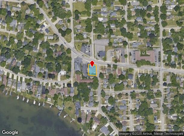
2409 Voorheis St, Pontiac, MI 48341
NEARBY LISTINGS FOR SALE OR LEASE
Property Detail
2409 Voorheis St
Detroit-Warren-Dearborn, MI
Supervisors
13-36-206-002
T3N, R9E, SEC 36 SUPERVISOR'S PLAT NO 43 LOT 10
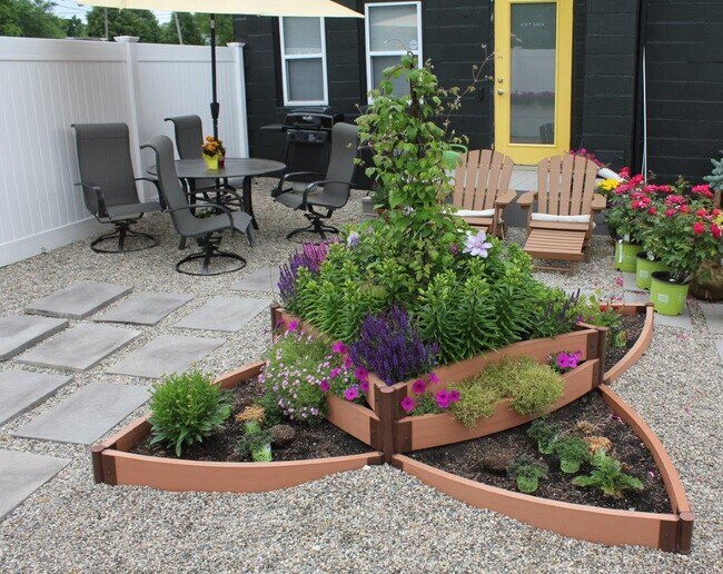
Officebuilding
Oakland
X
Michigan
26125C0364F
10
2024
0.17 AC
2024
Lakes Area
145400
Detroit
972 SF
DEMOGRAPHICS near 2409 Voorheis St
1 Mile
3 Mile
5 Mile
2024 Total Population
8,998
66,582
162,598
2029 Population
8,913
66,564
161,865
Pop Growth 2024-2029
(0.94%)
(0.03%)
(0.45%)
Average Age
42
41
41
2024 Total Households
3,993
28,288
66,623
HH Growth 2024-2029
(1.03%)
(0.05%)
(0.49%)
Median Household Inc
$62,095
$54,449
$61,804
Avg Household Size
2.20
2.20
2.40
2024 Avg HH Vehicles
2.00
2.00
2.00
Median Home Value
$168,977
$182,150
$229,479
Median Year Built
1953
1964
1968
Nearby Places
Map Layers
Map Styles
 Street
 Aerial
- Restaurants
- Banks
- Shops
- Fitness
- Groceries
PUBLIC TRANSPORTATION
AIRPORT
Detroit City
DRIVE
WALK
Distance
Detroit City
40 min
31.1 mi
Detroit Metro Wayne County
DRIVE
WALK
Distance
Detroit Metro Wayne County
50 min
39.7 mi
Freight Ports
Port of Baltimore
DRIVE
WALK
Distance
Port of Baltimore
1 min
421.4 mi
SALE & LEASE HISTORY
LISTING DATE
SALE/LEASE

Sep 28, 2017
For Sale
Sep 27, 2017
For Lease
Sep 12, 2024
For Sale
May 07, 2021
For Lease
Jan 05, 2024
For Lease
Feb 01, 2021
For Lease
Aug 04, 2023
For Lease
Nearby Properties
Address
Land Use
TOTAL SIZE
Lot Size
Zoning
Address
Land Use
TOTAL SIZE
Lot Size
Zoning
526,398 SF
32.99 AC
Address
Land Use
TOTAL SIZE
Lot Size
Zoning
481,186 SF
42.14 AC
AI
Address
Land Use
TOTAL SIZE
Lot Size
Zoning
374,400 SF
4.10 AC
Address
Land Use
TOTAL SIZE
Lot Size
Zoning
426,034 SF
24.99 AC
AI
Address
Land Use
TOTAL SIZE
Lot Size
Zoning
300,934 SF
25.30 AC
AI
Address
Land Use
TOTAL SIZE
Lot Size
Zoning
221,340 SF
26.88 AC
Address
Land Use
TOTAL SIZE
Lot Size
Zoning
156,668 SF
13.19 AC
BI
Address
Land Use
TOTAL SIZE
Lot Size
Zoning
23.28 AC
AI
Address
Land Use
TOTAL SIZE
Lot Size
Zoning
97,172 SF
13.82 AC
BI
Address
Land Use
TOTAL SIZE
Lot Size
Zoning
101,320 SF
28.20 AC
Address
Land Use
TOTAL SIZE
Lot Size
Zoning
79,263 SF
22.27 AC
Address
Land Use
TOTAL SIZE
Lot Size
Zoning
145,712 SF
10.51 AC
BV
Address
Land Use
TOTAL SIZE
Lot Size
Zoning
87,560 SF
7.94 AC
BI
Address
Land Use
TOTAL SIZE
Lot Size
Zoning
288,124 SF
15.76 AC
Address
Land Use
TOTAL SIZE
Lot Size
Zoning
93,706 SF
1.13 AC
Address
Land Use
TOTAL SIZE
Lot Size
Zoning
55,912 SF
1.11 AC
Address
Land Use
TOTAL SIZE
Lot Size
Zoning
143,701 SF
9.85 AC
AI
Address
Land Use
TOTAL SIZE
Lot Size
Zoning
131,214 SF
10.75 AC
AI
Address
Land Use
TOTAL SIZE
Lot Size
Zoning
146,736 SF
14.81 AC
AI
Address
Land Use
TOTAL SIZE
Lot Size
Zoning
137,256 SF
14.97 AC
BI
Address
Land Use
TOTAL SIZE
Lot Size
Zoning
235,395 SF
Address
Land Use
TOTAL SIZE
Lot Size
Zoning
64,053 SF
2.69 AC
Address
Land Use
TOTAL SIZE
Lot Size
Zoning
88,110 SF
3.15 AC
AI
Address
Land Use
TOTAL SIZE
Lot Size
Zoning
235,395 SF
37.19 AC
Address
Land Use
TOTAL SIZE
Lot Size
Zoning
235,395 SF
34.42 AC
Address
Land Use
TOTAL SIZE
Lot Size
Zoning
211,861 SF
2.69 AC
BI
Address
Land Use
TOTAL SIZE
Lot Size
Zoning
55,269 SF
5.40 AC
BI
Address
Land Use
TOTAL SIZE
Lot Size
Zoning
80,600 SF
51.48 AC
Address
Land Use
TOTAL SIZE
Lot Size
Zoning
102,042 SF
7.07 AC
AI
Address
Land Use
TOTAL SIZE
Lot Size
Zoning
34,252 SF
8.27 AC
BI
The World's #1 Commercial Real Estate Marketplace
Connect with us
© 2025 CoStar Group
The information above has been obtained from sources believed reliable. While we do not doubt its accuracy we have not verified it and make no guarantee, warranty or representation about it. It is your responsibility to independently confirm its accuracy and completeness. Any projections, opinions, assumptions, or estimates used are for example only and do not represent the current or future performance of the property. The value of this transaction to you depends on tax and other factors which should be evaluated by your tax, financial, and legal advisors. You and your advisors should conduct a careful, independent investigation of the property to determine to your satisfaction the suitability of the property for your needs.