Property Record
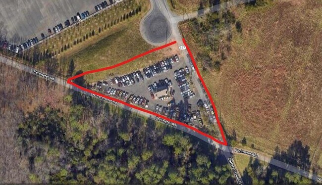
24095 Carters School Rd, Sterling, VA 20166


Current Lease Availabilities
Property Detail
24095 Carters School Rd
094-45-3404
FAIRFAX LINE 1998--2123 2040--355 D/C
Warehouse
LOUDOUN
PDGI
Virginia
B and X Area of moderate flood hazard, usually the area between the limits of the 100-year and 500-year floods.
0.94 AC
2025
Route 28 Corridor North
2025
Washington, DC
980100
Washington-Arlington-Alexandria, DC-VA-MD-WV
1,108 SF
NEARBY LISTINGS FOR SALE OR LEASE
DEMOGRAPHICS near 24095 Carters School Rd
1 mile
3 mile
5 mile
2025 Total Population
0
49,705
181,323
2030 Population
0
51,991
189,167
Pop Growth 2025-2030
0.00%
+ 4.60%
+ 4.33%
Average Age
0
35
35
2025 Total Households
0
15,507
58,447
HH Growth 2025-2030
0.00%
+ 4.66%
+ 4.50%
Median Household Inc
$0
$202,358
$180,943
Avg Household Size
.00
3.20
3.10
2025 Avg HH Vehicles
.00
2.00
2.00
Median Home Value
$0
$754,169
$754,169
Median Year Built
0
2010
2008
Nearby Places
Map Layers
Map Styles
 Street
 Aerial
Layers
 Traffic
 Biking
Places
Listings with unknown addresses are not visible on the map
- Restaurants
- Banks
- Shops
- Fitness
- Groceries
PUBLIC TRANSPORTATION
AIRPORT
Washington Dulles International
Drive
Walk
Distance
Washington Dulles International
19 min
8.5 mi
Ronald Reagan Washington Ntl
Drive
Walk
Distance
Ronald Reagan Washington Ntl
52 min
33.4 mi
Freight Ports
Port of Baltimore
Drive
Walk
Distance
Port of Baltimore
89 min
65.3 mi
Nearby Properties
Address
Land Use
TOTAL SIZE
Lot Size
Zoning
Address
Land Use
TOTAL SIZE
Lot Size
Zoning
2,700,000 SF
7.51 AC
PDGI
Address
Land Use
TOTAL SIZE
Lot Size
Zoning
525,482 SF
39.73 AC
PDGI
Address
Land Use
TOTAL SIZE
Lot Size
Zoning
538,565 SF
135.31 AC
PDIP
Address
Land Use
TOTAL SIZE
Lot Size
Zoning
784,204 SF
128.54 AC
GI
Address
Land Use
TOTAL SIZE
Lot Size
Zoning
778,426 SF
48.02 AC
CLI
Address
Land Use
TOTAL SIZE
Lot Size
Zoning
695,321 SF
63.54 AC
PDGI
Address
Land Use
TOTAL SIZE
Lot Size
Zoning
274,000 SF
82.17 AC
PDGI
Address
Land Use
TOTAL SIZE
Lot Size
Zoning
767,464 SF
GI
Address
Land Use
TOTAL SIZE
Lot Size
Zoning
49.36 AC
IP
Address
Land Use
TOTAL SIZE
Lot Size
Zoning
263,340 SF
79.61 AC
GI
Address
Land Use
TOTAL SIZE
Lot Size
Zoning
549,027 SF
21.01 AC
R16
Address
Land Use
TOTAL SIZE
Lot Size
Zoning
326.06 AC
GI
Address
Land Use
TOTAL SIZE
Lot Size
Zoning
222,313 SF
36.21 AC
PDOP
Address
Land Use
TOTAL SIZE
Lot Size
Zoning
378,278 SF
112.87 AC
PDGI
Address
Land Use
TOTAL SIZE
Lot Size
Zoning
508,026 SF
43.41 AC
PDGI
Address
Land Use
TOTAL SIZE
Lot Size
Zoning
327,400 SF
37.53 AC
PDGI
Address
Land Use
TOTAL SIZE
Lot Size
Zoning
48.30 AC
PDIP
Address
Land Use
TOTAL SIZE
Lot Size
Zoning
230.43 AC
PDGI
Address
Land Use
TOTAL SIZE
Lot Size
Zoning
181,718 SF
10.23 AC
R16
Address
Land Use
TOTAL SIZE
Lot Size
Zoning
303,168 SF
41.95 AC
PDCCRC
Address
Land Use
TOTAL SIZE
Lot Size
Zoning
54 AC
PDTC
Address
Land Use
TOTAL SIZE
Lot Size
Zoning
238,594 SF
50.64 AC
PDGI
Address
Land Use
TOTAL SIZE
Lot Size
Zoning
141.53 AC
PDGI
Address
Land Use
TOTAL SIZE
Lot Size
Zoning
145,409 SF
11.62 AC
540
Address
Land Use
TOTAL SIZE
Lot Size
Zoning
136.07 AC
PDGI
Address
Land Use
TOTAL SIZE
Lot Size
Zoning
1 SF
1.93 AC
GB
Address
Land Use
TOTAL SIZE
Lot Size
Zoning
39.89 AC
PDGI
The World's #1 Commercial Real Estate Marketplace
Connect with us
© 2026 CoStar Group
The information above has been obtained from sources believed reliable. While we do not doubt its accuracy we have not verified it and make no guarantee, warranty or representation about it. It is your responsibility to independently confirm its accuracy and completeness. Any projections, opinions, assumptions, or estimates used are for example only and do not represent the current or future performance of the property. The value of this transaction to you depends on tax and other factors which should be evaluated by your tax, financial, and legal advisors. You and your advisors should conduct a careful, independent investigation of the property to determine to your satisfaction the suitability of the property for your needs.