Property Record
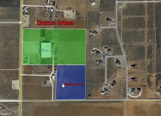
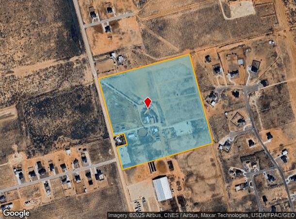
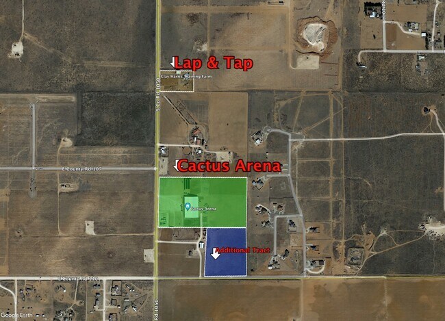
2411 S County Road 1050, Stanton, TX 79782
NEARBY LISTINGS FOR SALE OR LEASE
Property Detail
2411 S County Road 1050
Midland, TX
T&P Rr Co Survey
R000001-348
ACRES: 38.130 38.130 AC OUT OF W/2 OF THE SW/4 SEC: 6 BLK: 36-T2S
Officebuilding
Midland
2025
Texas
2025
38.13 AC
010129
Texas West Area
4,900 SF
Other Market Areas
DEMOGRAPHICS near 2411 S County Road 1050
1 mile
3 mile
5 mile
2024 Total Population
461
1,843
3,939
2029 Population
461
1,866
4,005
Pop Growth 2024-2029
0.00%
+ 1.25%
+ 1.68%
Average Age
34
32
33
2024 Total Households
145
550
1,216
HH Growth 2024-2029
0.00%
+ 1.45%
+ 1.89%
Median Household Inc
$107,143
$112,500
$122,020
Avg Household Size
3.20
3.30
3.20
2024 Avg HH Vehicles
3.00
3.00
3.00
Median Home Value
$277,083
$276,686
$294,213
Median Year Built
2001
2003
2004
Nearby Places
Map Layers
Map Styles
 Street
 Aerial
Transit
 Traffic
 Biking
Places
Listings with unknown addresses are not visible on the map
- Restaurants
- Banks
- Shops
- Fitness
- Groceries
PUBLIC TRANSPORTATION
AIRPORT
Midland International Air And Space Port
Drive
Walk
Distance
Midland International Air And Space Port
35 min
26.6 mi
Freight Ports
Calhoun Port
Drive
Walk
Distance
Calhoun Port
520 min
465.3 mi
SALE & LEASE HISTORY
LISTING DATE
SALE/LEASE

Sep 27, 2023
For Sale
Nearby Properties
Address
Land Use
TOTAL SIZE
Lot Size
Zoning
Address
Land Use
TOTAL SIZE
Lot Size
Zoning
3,250 SF
9.61 AC
Address
Land Use
TOTAL SIZE
Lot Size
Zoning
Address
Land Use
TOTAL SIZE
Lot Size
Zoning
3,586 SF
4.01 AC
Address
Land Use
TOTAL SIZE
Lot Size
Zoning
3,230 SF
160 AC
Address
Land Use
TOTAL SIZE
Lot Size
Zoning
3,080 SF
7.50 AC
Address
Land Use
TOTAL SIZE
Lot Size
Zoning
3,906 SF
5 AC
Address
Land Use
TOTAL SIZE
Lot Size
Zoning
2,151 SF
1 AC
Address
Land Use
TOTAL SIZE
Lot Size
Zoning
900 SF
15.25 AC
Address
Land Use
TOTAL SIZE
Lot Size
Zoning
1,660 SF
126.96 AC
Address
Land Use
TOTAL SIZE
Lot Size
Zoning
4,749 SF
1.80 AC
Address
Land Use
TOTAL SIZE
Lot Size
Zoning
1,000 SF
5.23 AC
Address
Land Use
TOTAL SIZE
Lot Size
Zoning
3,601 SF
1.80 AC
Address
Land Use
TOTAL SIZE
Lot Size
Zoning
4,052 SF
10 AC
Address
Land Use
TOTAL SIZE
Lot Size
Zoning
3,845 SF
10.11 AC
Address
Land Use
TOTAL SIZE
Lot Size
Zoning
3,191 SF
2.39 AC
Address
Land Use
TOTAL SIZE
Lot Size
Zoning
3,973 SF
2 AC
Address
Land Use
TOTAL SIZE
Lot Size
Zoning
552 SF
1.50 AC
Address
Land Use
TOTAL SIZE
Lot Size
Zoning
6,240 SF
5.58 AC
Address
Land Use
TOTAL SIZE
Lot Size
Zoning
600 SF
4 AC
Address
Land Use
TOTAL SIZE
Lot Size
Zoning
3,761 SF
15.68 AC
Address
Land Use
TOTAL SIZE
Lot Size
Zoning
3,363 SF
1.50 AC
Address
Land Use
TOTAL SIZE
Lot Size
Zoning
3,574 SF
8.43 AC
Address
Land Use
TOTAL SIZE
Lot Size
Zoning
1,200 SF
1.22 AC
Address
Land Use
TOTAL SIZE
Lot Size
Zoning
3,730 SF
128 AC
Address
Land Use
TOTAL SIZE
Lot Size
Zoning
2,616 SF
10 AC
Address
Land Use
TOTAL SIZE
Lot Size
Zoning
2,786 SF
3.52 AC
Address
Land Use
TOTAL SIZE
Lot Size
Zoning
2,797 SF
1 AC
Address
Land Use
TOTAL SIZE
Lot Size
Zoning
3,030 SF
1.53 AC
Address
Land Use
TOTAL SIZE
Lot Size
Zoning
3,740 SF
5 AC
Address
Land Use
TOTAL SIZE
Lot Size
Zoning
3,588 SF
10 AC
The World's #1 Commercial Real Estate Marketplace
Connect with us
© 2026 CoStar Group
The information above has been obtained from sources believed reliable. While we do not doubt its accuracy we have not verified it and make no guarantee, warranty or representation about it. It is your responsibility to independently confirm its accuracy and completeness. Any projections, opinions, assumptions, or estimates used are for example only and do not represent the current or future performance of the property. The value of this transaction to you depends on tax and other factors which should be evaluated by your tax, financial, and legal advisors. You and your advisors should conduct a careful, independent investigation of the property to determine to your satisfaction the suitability of the property for your needs.