Property Record
2420 Avent Ferry Rd, Holly Springs, NC 27540


NEARBY LISTINGS FOR SALE OR LEASE
Property Detail
2420 Avent Ferry Rd
Raleigh, NC
Hean Hare Goodwin & C Kent Goo
0638.04-52-9592-000
R M ADAMS & OTHER
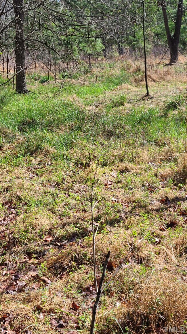
Vacantlandnec
Wake
AE
North Carolina
3720062800K
32.30 AC
2025
Southwest Wake County
2025
Raleigh/Durham
053206
DEMOGRAPHICS near 2420 Avent Ferry Rd
1 Mile
3 Mile
5 Mile
2024 Total Population
5,102
22,492
64,896
2029 Population
5,640
24,970
71,546
Pop Growth 2024-2029
+ 10.54%
+ 11.02%
+ 10.25%
Average Age
34
35
37
2024 Total Households
1,525
7,036
21,796
HH Growth 2024-2029
+ 10.62%
+ 10.99%
+ 10.19%
Median Household Inc
$130,310
$133,423
$112,490
Avg Household Size
3.30
3.20
3.00
2024 Avg HH Vehicles
2.00
2.00
2.00
Median Home Value
$439,332
$442,504
$416,842
Median Year Built
2010
2010
2008
Nearby Places
Map Layers
Map Styles
 Street
 Aerial
- Restaurants
- Banks
- Shops
- Fitness
- Groceries
PUBLIC TRANSPORTATION
AIRPORT
Raleigh-Durham International
DRIVE
WALK
Distance
Raleigh-Durham International
36 min
26.2 mi
Freight Ports
Port of Wilmington
DRIVE
WALK
Distance
Port of Wilmington
165 min
135.0 mi
SALE & LEASE HISTORY
LISTING DATE
SALE/LEASE

Jan 09, 2023
For Sale
Nearby Properties
Address
Land Use
TOTAL SIZE
Lot Size
Zoning
Address
Land Use
TOTAL SIZE
Lot Size
Zoning
898,348 SF
147.52 AC
BRT
Address
Land Use
TOTAL SIZE
Lot Size
Zoning
600,780 SF
157.91 AC
PUD
Address
Land Use
TOTAL SIZE
Lot Size
Zoning
553,292 SF
91.44 AC
RR
Address
Land Use
TOTAL SIZE
Lot Size
Zoning
295,615 SF
38.04 AC
SP
Address
Land Use
TOTAL SIZE
Lot Size
Zoning
313,307 SF
21.58 AC
MXR
Address
Land Use
TOTAL SIZE
Lot Size
Zoning
1,248 SF
2,141.44 AC
HD
Address
Land Use
TOTAL SIZE
Lot Size
Zoning
208,958 SF
14.34 AC
MXR
Address
Land Use
TOTAL SIZE
Lot Size
Zoning
1,323.42 AC
R-80
Address
Land Use
TOTAL SIZE
Lot Size
Zoning
221,860 SF
40.32 AC
PUD
Address
Land Use
TOTAL SIZE
Lot Size
Zoning
159,046 SF
6.47 AC
CB
Address
Land Use
TOTAL SIZE
Lot Size
Zoning
124,660 SF
40.81 AC
RR
Address
Land Use
TOTAL SIZE
Lot Size
Zoning
95,819 SF
22.63 AC
NR
Address
Land Use
TOTAL SIZE
Lot Size
Zoning
83,117 SF
9.74 AC
NR
Address
Land Use
TOTAL SIZE
Lot Size
Zoning
180,595 SF
35.61 AC
CB
Address
Land Use
TOTAL SIZE
Lot Size
Zoning
72,096 SF
5.51 AC
NMX
Address
Land Use
TOTAL SIZE
Lot Size
Zoning
86,659 SF
10.08 AC
CB
Address
Land Use
TOTAL SIZE
Lot Size
Zoning
104,908 SF
8.82 AC
BRT
Address
Land Use
TOTAL SIZE
Lot Size
Zoning
104,908 SF
9.68 AC
BRT
Address
Land Use
TOTAL SIZE
Lot Size
Zoning
81,948 SF
38.04 AC
SP
Address
Land Use
TOTAL SIZE
Lot Size
Zoning
50,239 SF
1.30 AC
DMX
Address
Land Use
TOTAL SIZE
Lot Size
Zoning
77,723 SF
3.54 AC
CB
Address
Land Use
TOTAL SIZE
Lot Size
Zoning
125,381 SF
8.43 AC
BRT
Address
Land Use
TOTAL SIZE
Lot Size
Zoning
639.07 AC
R-80
Address
Land Use
TOTAL SIZE
Lot Size
Zoning
51,972 SF
0.67 AC
PUD
Address
Land Use
TOTAL SIZE
Lot Size
Zoning
46,509 SF
0.93 AC
DMX
Address
Land Use
TOTAL SIZE
Lot Size
Zoning
134,046 SF
12.08 AC
CB
Address
Land Use
TOTAL SIZE
Lot Size
Zoning
60,339 SF
8.59 AC
BRT
Address
Land Use
TOTAL SIZE
Lot Size
Zoning
70,695 SF
2.81 AC
BRT
Address
Land Use
TOTAL SIZE
Lot Size
Zoning
90,337 SF
16.53 AC
PUD
Address
Land Use
TOTAL SIZE
Lot Size
Zoning
62,695 SF
2.54 AC
CB
The World's #1 Commercial Real Estate Marketplace
Connect with us
© 2026 CoStar Group
The information above has been obtained from sources believed reliable. While we do not doubt its accuracy we have not verified it and make no guarantee, warranty or representation about it. It is your responsibility to independently confirm its accuracy and completeness. Any projections, opinions, assumptions, or estimates used are for example only and do not represent the current or future performance of the property. The value of this transaction to you depends on tax and other factors which should be evaluated by your tax, financial, and legal advisors. You and your advisors should conduct a careful, independent investigation of the property to determine to your satisfaction the suitability of the property for your needs.