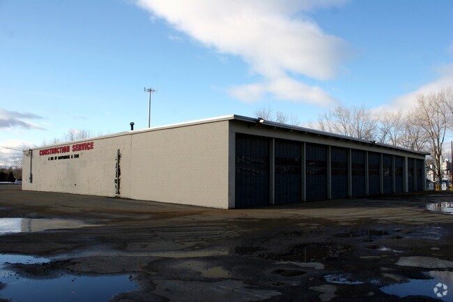
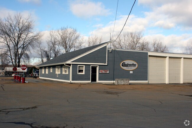
Property Record
2420 Boston Rd, Wilbraham, MA 01095
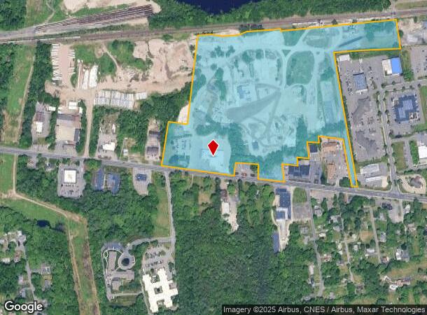
NEARBY LISTINGS FOR SALE OR LEASE
Property Detail
2420 Boston Rd
WILB-001150-000190-000584
Hampden
Industrialgeneral
Massachusetts
X
584
25013C0240E
34.96 AC
2025
Hampden County
2025
Hartford
813601
Springfield, MA
DEMOGRAPHICS near 2420 Boston Rd
1 Mile
3 Mile
5 Mile
2024 Total Population
3,212
37,162
85,943
2029 Population
3,172
36,612
84,721
Pop Growth 2024-2029
(1.25%)
(1.48%)
(1.42%)
Average Age
46
42
42
2024 Total Households
1,347
15,148
33,199
HH Growth 2024-2029
(1.34%)
(1.56%)
(1.48%)
Median Household Inc
$77,485
$70,463
$71,502
Avg Household Size
2.30
2.40
2.50
2024 Avg HH Vehicles
2.00
2.00
2.00
Median Home Value
$308,992
$272,875
$258,122
Median Year Built
1965
1961
1962
Nearby Places
Map Layers
Map Styles
 Street
 Aerial
- Restaurants
- Banks
- Shops
- Fitness
- Groceries
PUBLIC TRANSPORTATION
COMMUTER RAIL
DRIVE
WALK
Distance
16 min
9.0 mi
AIRPORT
Bradley International
DRIVE
WALK
Distance
Bradley International
44 min
22.1 mi
Worcester Regional
DRIVE
WALK
Distance
Worcester Regional
65 min
43.4 mi
Nearby Properties
Address
Land Use
TOTAL SIZE
Lot Size
Zoning
Address
Land Use
TOTAL SIZE
Lot Size
Zoning
89,312 SF
38.72 AC
R1
Address
Land Use
TOTAL SIZE
Lot Size
Zoning
248,182 SF
46.27 AC
R34
Address
Land Use
TOTAL SIZE
Lot Size
Zoning
45,444 SF
13.80 AC
Address
Land Use
TOTAL SIZE
Lot Size
Zoning
60.25 AC
Address
Land Use
TOTAL SIZE
Lot Size
Zoning
39,776 SF
8.16 AC
R2
Address
Land Use
TOTAL SIZE
Lot Size
Zoning
94,076 SF
63.12 AC
Address
Land Use
TOTAL SIZE
Lot Size
Zoning
71,911 SF
9.19 AC
Address
Land Use
TOTAL SIZE
Lot Size
Zoning
28.31 AC
Address
Land Use
TOTAL SIZE
Lot Size
Zoning
79.26 AC
R-2
Address
Land Use
TOTAL SIZE
Lot Size
Zoning
136,326 SF
65.19 AC
Address
Land Use
TOTAL SIZE
Lot Size
Zoning
15.31 AC
GB
Address
Land Use
TOTAL SIZE
Lot Size
Zoning
10,439 SF
79.80 AC
Address
Land Use
TOTAL SIZE
Lot Size
Zoning
49,431 SF
6.19 AC
SR1B1
Address
Land Use
TOTAL SIZE
Lot Size
Zoning
3,534 SF
38.61 AC
R-3
Address
Land Use
TOTAL SIZE
Lot Size
Zoning
139,292 SF
12.54 AC
SB1I2
Address
Land Use
TOTAL SIZE
Lot Size
Zoning
34.44 AC
I
Address
Land Use
TOTAL SIZE
Lot Size
Zoning
13.02 AC
Address
Land Use
TOTAL SIZE
Lot Size
Zoning
133,600 SF
23.27 AC
R3
Address
Land Use
TOTAL SIZE
Lot Size
Zoning
116,670 SF
13 AC
GB
Address
Land Use
TOTAL SIZE
Lot Size
Zoning
34,104 SF
8 AC
R4
Address
Land Use
TOTAL SIZE
Lot Size
Zoning
1,292 SF
8.92 AC
B1
Address
Land Use
TOTAL SIZE
Lot Size
Zoning
88,560 SF
2.81 AC
GB
Address
Land Use
TOTAL SIZE
Lot Size
Zoning
193,769 SF
22.62 AC
SB1R2
Address
Land Use
TOTAL SIZE
Lot Size
Zoning
77,200 SF
10.63 AC
I
Address
Land Use
TOTAL SIZE
Lot Size
Zoning
72,793 SF
1.50 AC
Address
Land Use
TOTAL SIZE
Lot Size
Zoning
1,200 SF
1.61 AC
B2
Address
Land Use
TOTAL SIZE
Lot Size
Zoning
30,428 SF
1.46 AC
R2
Address
Land Use
TOTAL SIZE
Lot Size
Zoning
51,369 SF
4.93 AC
B1
Address
Land Use
TOTAL SIZE
Lot Size
Zoning
32,603 SF
11.42 AC
R34
Address
Land Use
TOTAL SIZE
Lot Size
Zoning
62,702 SF
3.99 AC
SB1I2
The World's #1 Commercial Real Estate Marketplace
Connect with us
© 2025 CoStar Group
The information above has been obtained from sources believed reliable. While we do not doubt its accuracy we have not verified it and make no guarantee, warranty or representation about it. It is your responsibility to independently confirm its accuracy and completeness. Any projections, opinions, assumptions, or estimates used are for example only and do not represent the current or future performance of the property. The value of this transaction to you depends on tax and other factors which should be evaluated by your tax, financial, and legal advisors. You and your advisors should conduct a careful, independent investigation of the property to determine to your satisfaction the suitability of the property for your needs.