Property Record
2425 Auto Park Way, Escondido, CA 92029


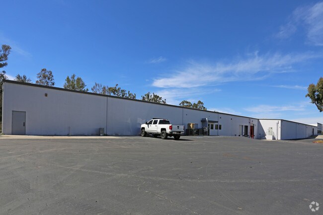

Property Detail
2425 Auto Park Way
228-381-50
PAR 1 (EX ST) TR PM11551
Lightindustrial
SAN DIEGO
M-1
California
B and X Area of moderate flood hazard, usually the area between the limits of the 100-year and 500-year floods.
6.40 AC
2024
Escondido
2025
San Diego
020313
San Diego-Chula Vista-Carlsbad, CA
89,954 SF
NEARBY LISTINGS FOR SALE OR LEASE
DEMOGRAPHICS near 2425 Auto Park Way
1 mile
3 mile
5 mile
2025 Total Population
5,990
119,006
233,961
2030 Population
6,089
119,072
233,930
Pop Growth 2025-2030
+ 1.65%
+ 0.06%
(0.01%)
Average Age
45
38
38
2025 Total Households
2,415
38,841
74,718
HH Growth 2025-2030
+ 1.74%
(0.05%)
(0.13%)
Median Household Inc
$88,492
$90,162
$97,930
Avg Household Size
2.40
2.90
3.00
2025 Avg HH Vehicles
2.00
2.00
2.00
Median Home Value
$691,451
$732,845
$788,843
Median Year Built
1979
1982
1982
Nearby Places
Map Layers
Map Styles
 Street
 Aerial
Layers
 Traffic
 Biking
Places
Listings with unknown addresses are not visible on the map
- Restaurants
- Banks
- Shops
- Fitness
- Groceries
PUBLIC TRANSPORTATION
TRANSIT/SUBWAY
Nordahl Road (Sprinter - San Diego North County Transit District (Coaster/Sprinter/Breeze))
Drive
Walk
Distance
Nordahl Road (Sprinter - San Diego North County Transit District (Coaster/Sprinter/Breeze))
2 min
12 min
0.6 mi
AIRPORT
San Diego International
Drive
Walk
Distance
San Diego International
41 min
31.4 mi
Freight Ports
Port of San Diego
Drive
Walk
Distance
Port of San Diego
44 min
33.6 mi
SALE & LEASE HISTORY
LISTING DATE
SALE/LEASE

Sep 25, 2016
For Lease
Nearby Properties
Address
Land Use
TOTAL SIZE
Lot Size
Zoning
Address
Land Use
TOTAL SIZE
Lot Size
Zoning
27.98 AC
SPA
Address
Land Use
TOTAL SIZE
Lot Size
Zoning
14.98 AC
R-1-10
Address
Land Use
TOTAL SIZE
Lot Size
Zoning
9.77 AC
PD-R-18
Address
Land Use
TOTAL SIZE
Lot Size
Zoning
9,999 SF
15.37 AC
SPA
Address
Land Use
TOTAL SIZE
Lot Size
Zoning
10.82 AC
SPA
Address
Land Use
TOTAL SIZE
Lot Size
Zoning
Address
Land Use
TOTAL SIZE
Lot Size
Zoning
71,656 SF
S-P
Address
Land Use
TOTAL SIZE
Lot Size
Zoning
Address
Land Use
TOTAL SIZE
Lot Size
Zoning
9.88 AC
R-3-10
Address
Land Use
TOTAL SIZE
Lot Size
Zoning
SPECIFIC P
Address
Land Use
TOTAL SIZE
Lot Size
Zoning
75,138 SF
C
Address
Land Use
TOTAL SIZE
Lot Size
Zoning
80,064 SF
1.53 AC
S-P
Address
Land Use
TOTAL SIZE
Lot Size
Zoning
7.90 AC
PD-C
Address
Land Use
TOTAL SIZE
Lot Size
Zoning
7.60 AC
R-3-18
Address
Land Use
TOTAL SIZE
Lot Size
Zoning
Address
Land Use
TOTAL SIZE
Lot Size
Zoning
5.94 AC
PD-R-24
Address
Land Use
TOTAL SIZE
Lot Size
Zoning
99,461 SF
4.89 AC
SPA
Address
Land Use
TOTAL SIZE
Lot Size
Zoning
10.80 AC
SPA
Address
Land Use
TOTAL SIZE
Lot Size
Zoning
1.94 AC
C
Address
Land Use
TOTAL SIZE
Lot Size
Zoning
8.30 AC
R-2-12
Address
Land Use
TOTAL SIZE
Lot Size
Zoning
Address
Land Use
TOTAL SIZE
Lot Size
Zoning
97,874 SF
8.47 AC
R-2-12
Address
Land Use
TOTAL SIZE
Lot Size
Zoning
1.49 AC
SPA
Address
Land Use
TOTAL SIZE
Lot Size
Zoning
2.98 AC
S-P
Address
Land Use
TOTAL SIZE
Lot Size
Zoning
13.99 AC
PD-C
Address
Land Use
TOTAL SIZE
Lot Size
Zoning
7.06 AC
SR
Address
Land Use
TOTAL SIZE
Lot Size
Zoning
6.24 AC
R-3-18
Address
Land Use
TOTAL SIZE
Lot Size
Zoning
95,713 SF
0.51 AC
C
Address
Land Use
TOTAL SIZE
Lot Size
Zoning
97,090 SF
5.38 AC
R-3-18
Address
Land Use
TOTAL SIZE
Lot Size
Zoning
3.06 AC
S-P
The World's #1 Commercial Real Estate Marketplace
Connect with us
© 2026 CoStar Group
The information above has been obtained from sources believed reliable. While we do not doubt its accuracy we have not verified it and make no guarantee, warranty or representation about it. It is your responsibility to independently confirm its accuracy and completeness. Any projections, opinions, assumptions, or estimates used are for example only and do not represent the current or future performance of the property. The value of this transaction to you depends on tax and other factors which should be evaluated by your tax, financial, and legal advisors. You and your advisors should conduct a careful, independent investigation of the property to determine to your satisfaction the suitability of the property for your needs.