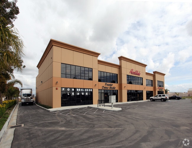
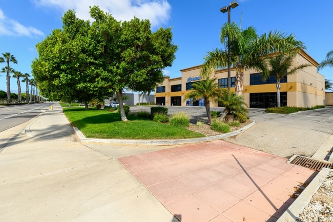
Property Record
2425 W 5Th St, Oxnard, CA 93030


Current Lease Availabilities
Property Detail
2425 W 5Th St
Industrialgeneral
Ventura
CMPD
California
C and X Area of minimal flood hazard, usually depicted on FIRMs as above the 500-year flood level.
1 AC
2024
Oxnard/Pt Hueneme
2025
Los Angeles
002905
Oxnard-Thousand Oaks-Ventura, CA
20,156 SF
183-0-100-255
NEARBY LISTINGS FOR SALE OR LEASE
DEMOGRAPHICS near 2425 W 5Th St
1 mile
3 mile
5 mile
2024 Total Population
19,758
158,034
255,355
2029 Population
19,433
157,044
253,522
Pop Growth 2024-2029
(1.64%)
(0.63%)
(0.72%)
Average Age
38
38
38
2024 Total Households
5,319
44,203
72,961
HH Growth 2024-2029
(1.84%)
(0.36%)
(0.53%)
Median Household Inc
$103,158
$93,629
$92,843
Avg Household Size
3.60
3.40
3.30
2024 Avg HH Vehicles
3.00
2.00
2.00
Median Home Value
$730,886
$729,188
$701,871
Median Year Built
1976
1974
1975
Nearby Places
Map Layers
Map Styles
 Street
 Aerial
Transit
 Traffic
 Biking
Places
Listings with unknown addresses are not visible on the map
- Restaurants
- Banks
- Shops
- Fitness
- Groceries
PUBLIC TRANSPORTATION
COMMUTER RAIL
Oxnard (Ventura County Line - Southern California Regional Rail Authority (Metrolink))
Drive
Walk
Distance
Oxnard (Ventura County Line - Southern California Regional Rail Authority (Metrolink))
7 min
2.6 mi
East Ventura Metrolink Station (Metrolink Ventura County Line - Metrolink Trains)
Drive
Walk
Distance
East Ventura Metrolink Station (Metrolink Ventura County Line - Metrolink Trains)
9 min
5.6 mi
Freight Ports
The Port of Hueneme
Drive
Walk
Distance
The Port of Hueneme
10 min
4.6 mi
Nearby Properties
Address
Land Use
TOTAL SIZE
Lot Size
Zoning
Address
Land Use
TOTAL SIZE
Lot Size
Zoning
35.90 AC
BRP
Address
Land Use
TOTAL SIZE
Lot Size
Zoning
241,298 SF
8 AC
R3C
Address
Land Use
TOTAL SIZE
Lot Size
Zoning
3.96 AC
Address
Land Use
TOTAL SIZE
Lot Size
Zoning
11.28 AC
CMPD
Address
Land Use
TOTAL SIZE
Lot Size
Zoning
2.63 AC
Address
Land Use
TOTAL SIZE
Lot Size
Zoning
166,920 SF
7.15 AC
R3PD
Address
Land Use
TOTAL SIZE
Lot Size
Zoning
1,675 SF
18.62 AC
Address
Land Use
TOTAL SIZE
Lot Size
Zoning
191,035 SF
8.54 AC
R3PD
Address
Land Use
TOTAL SIZE
Lot Size
Zoning
158,736 SF
6.33 AC
Address
Land Use
TOTAL SIZE
Lot Size
Zoning
129,018 SF
5.09 AC
R3PD
Address
Land Use
TOTAL SIZE
Lot Size
Zoning
41,327 SF
7.04 AC
Address
Land Use
TOTAL SIZE
Lot Size
Zoning
133,174 SF
5.94 AC
R3PD
Address
Land Use
TOTAL SIZE
Lot Size
Zoning
770 SF
9.80 AC
M1
Address
Land Use
TOTAL SIZE
Lot Size
Zoning
20,349 SF
9.65 AC
C2
Address
Land Use
TOTAL SIZE
Lot Size
Zoning
13,189 SF
10.58 AC
Address
Land Use
TOTAL SIZE
Lot Size
Zoning
13,188 SF
12.04 AC
Address
Land Use
TOTAL SIZE
Lot Size
Zoning
7.95 AC
M2
Address
Land Use
TOTAL SIZE
Lot Size
Zoning
1.21 AC
Address
Land Use
TOTAL SIZE
Lot Size
Zoning
60,496 SF
4.17 AC
R4PD
Address
Land Use
TOTAL SIZE
Lot Size
Zoning
Address
Land Use
TOTAL SIZE
Lot Size
Zoning
94,375 SF
7.94 AC
Address
Land Use
TOTAL SIZE
Lot Size
Zoning
17,185 SF
13.96 AC
RE1A
Address
Land Use
TOTAL SIZE
Lot Size
Zoning
6,279 SF
5.53 AC
M2PD
Address
Land Use
TOTAL SIZE
Lot Size
Zoning
51,694 SF
2.75 AC
Address
Land Use
TOTAL SIZE
Lot Size
Zoning
64,688 SF
5.47 AC
C2PD
Address
Land Use
TOTAL SIZE
Lot Size
Zoning
1,800 SF
8.84 AC
M1
Address
Land Use
TOTAL SIZE
Lot Size
Zoning
14,931 SF
14.08 AC
Address
Land Use
TOTAL SIZE
Lot Size
Zoning
13,802 SF
6.03 AC
Address
Land Use
TOTAL SIZE
Lot Size
Zoning
2,320 SF
12.02 AC
M1
Address
Land Use
TOTAL SIZE
Lot Size
Zoning
70,600 SF
3.75 AC
R3PD
The World's #1 Commercial Real Estate Marketplace
Connect with us
© 2026 CoStar Group
The information above has been obtained from sources believed reliable. While we do not doubt its accuracy we have not verified it and make no guarantee, warranty or representation about it. It is your responsibility to independently confirm its accuracy and completeness. Any projections, opinions, assumptions, or estimates used are for example only and do not represent the current or future performance of the property. The value of this transaction to you depends on tax and other factors which should be evaluated by your tax, financial, and legal advisors. You and your advisors should conduct a careful, independent investigation of the property to determine to your satisfaction the suitability of the property for your needs.